So, this diary probably comes out of the blue. After posting regularly during the buildup to the eruption and the eruption during itself, I eventually got burned out; it took an awful lot of work to keep the updates going, and I never meant to start blogging about it in the first place - I just wanted to keep people informed.
After five months of spewing out copious amounts of lava and poisonous gas, the rate of eruption significantly declined, and on 28 February - almost exactly six months after it first broke the surface - the eruption was officially declared to be over. But what did this eruption leave behind? Well, beyond all of the news, I took a rather special trip there to find out for myself.
Join me below the fold.
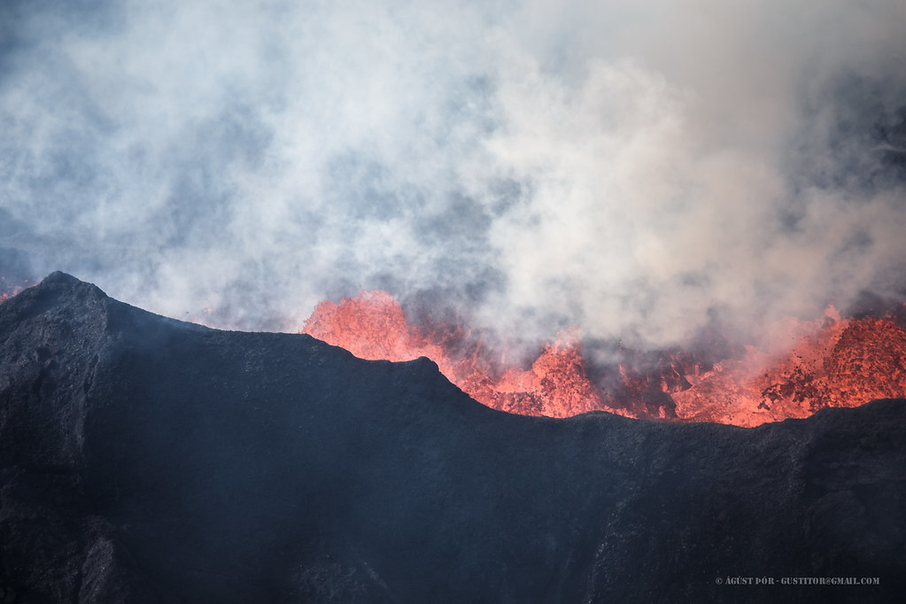
(Image Credit: Águst Þór)
(Reminder: As always, remember that you can right-click on images to view them in higher resolution)
Before we begin, let's look at the eruption stats.
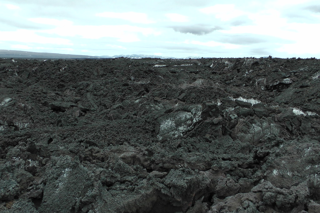
The total lava volume erupted during the half year eruption was 1,6 cubic kilometers. This is approximately what Kilauea produced during the past 15 years. The 1859 eruption of Mauna Loa, the largest in its modern history, produced less than half a cubic kilometer. Despite having to move through a dike dozens of kilometers long to reach the surface, this was a massive eruption.
The average thickness of the lava flow is 20 meters, while near the crater it averages around 40 meters. This is nearly enough to bury the Statue of Liberty from her base up to her head.
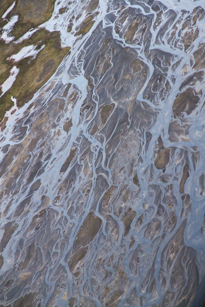
The eruptive area is 85 square kilometers. This makes it the fifth largest lava flow by area since Iceland was settled, after two eruptions of Laki, the 10th century Hallmundarhraun from Langjökull, and the 13th century Fjallsendahraun (also from Bárðarbunga).
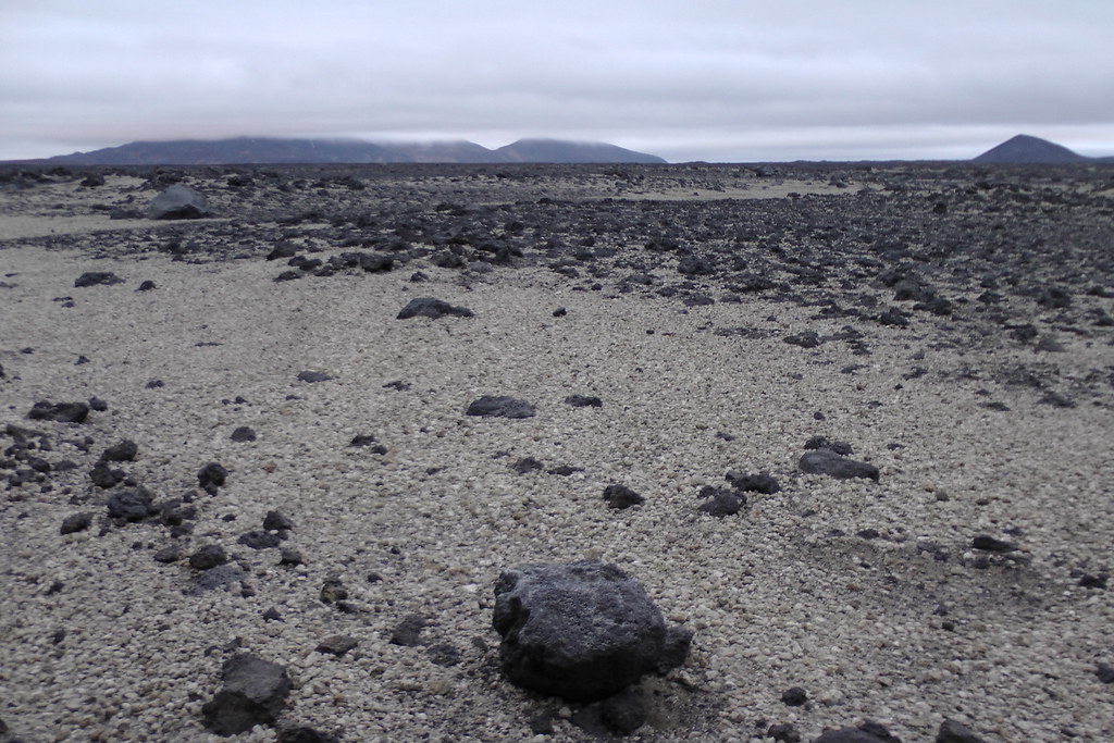
Note that there have of course also been powerful ash eruptions - lava eruptions aren't the only kind that we experience. Indeed, it can't be stressed how perfectly located this eruption was - not in the caldera (which would have been an ash eruption that could have sent catastrophic floods in any directions, including to the west down our hydroelectric plants), under Dyngjujökull (which would have been an ash eruption that could have sent a huge flood to the north), and nor did it connect all the way to the dangerous Askja system. It was located about as far from people as it could have been, and flowed over relatively uninteresting land that's the country's largest source of problematic airborne dust. In short, one couldn't have planned where it played out better.
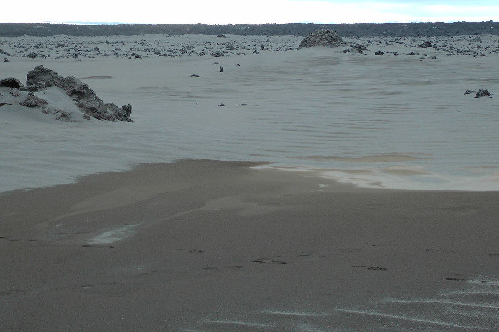
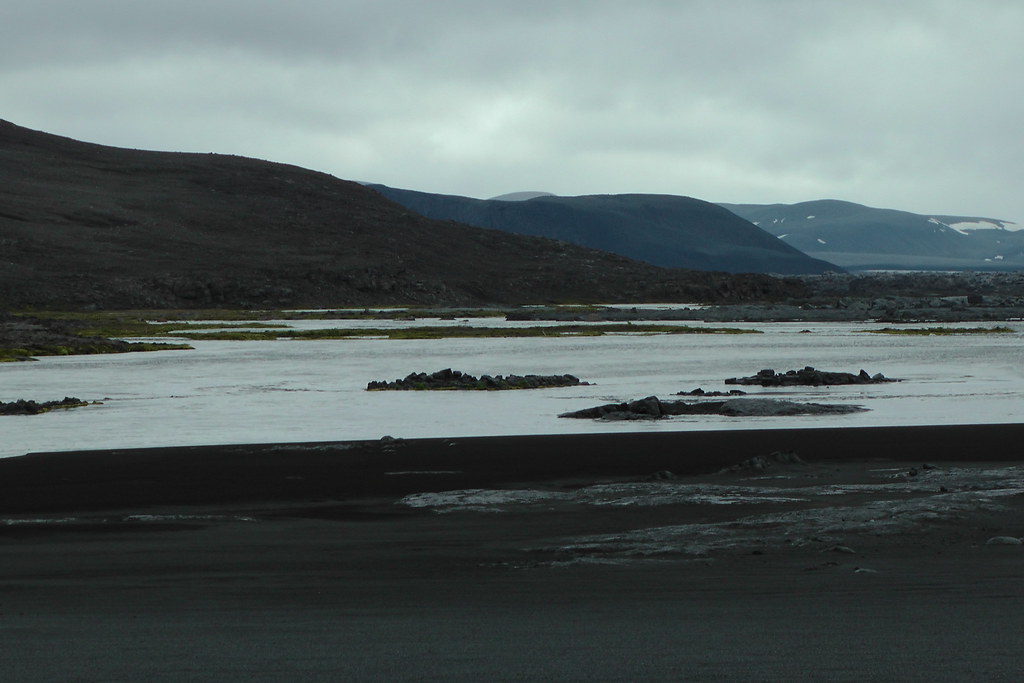
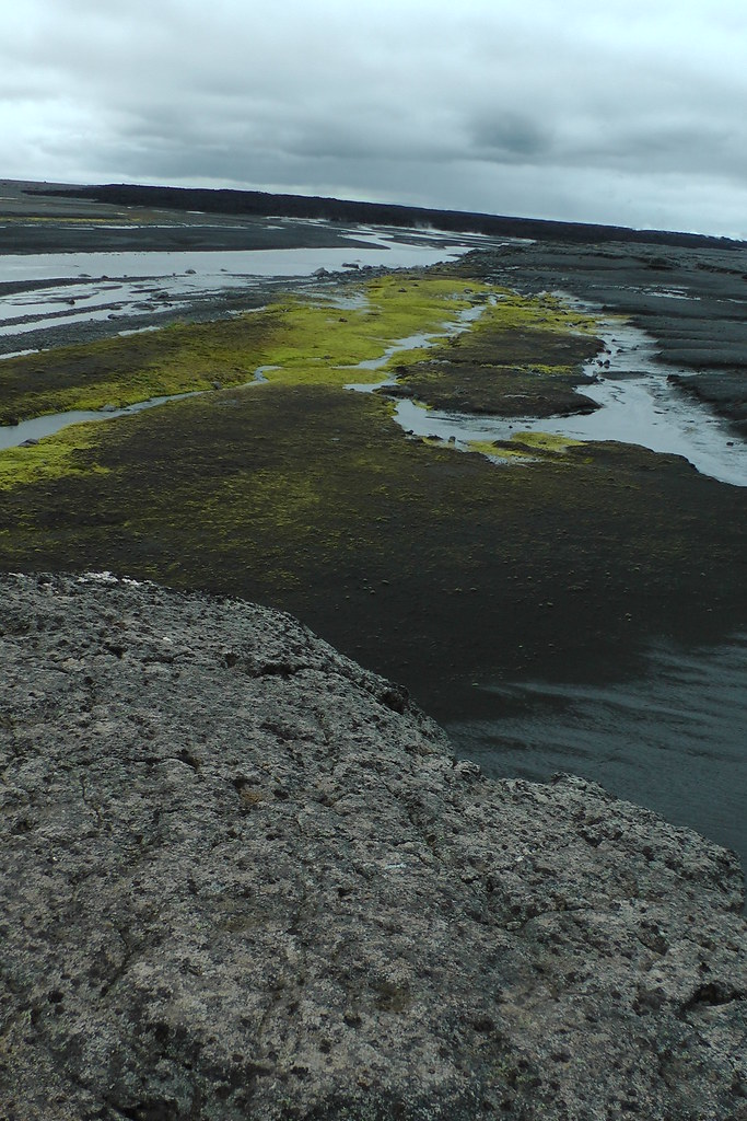
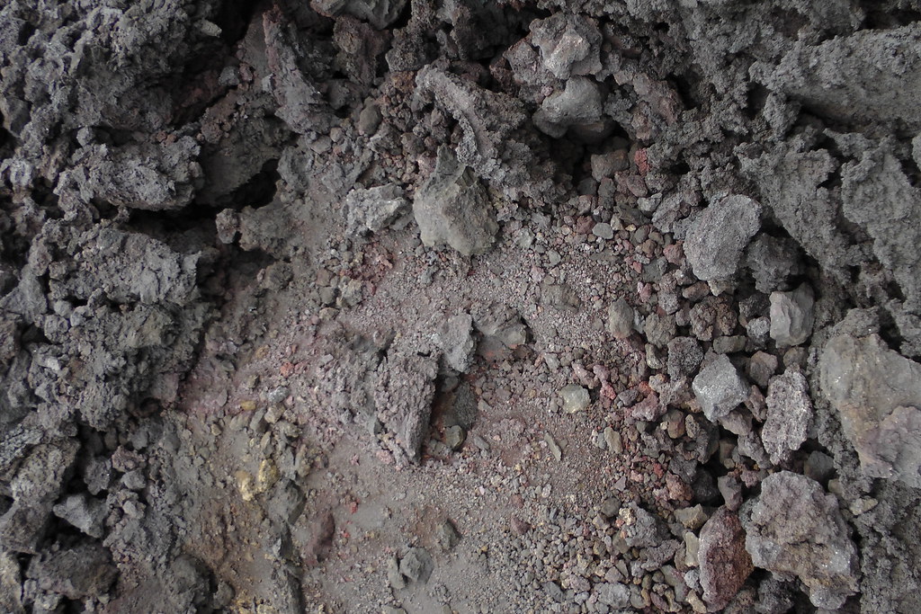
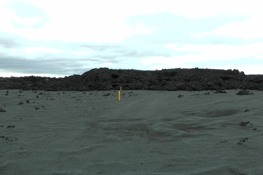
(The dusty plains of Flæður)
But what have been the broader consequences of the eruption rather than just laying down a new layer of earth? They've been both good and bad.
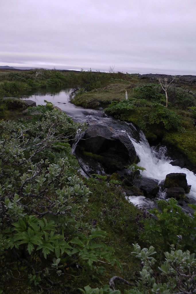
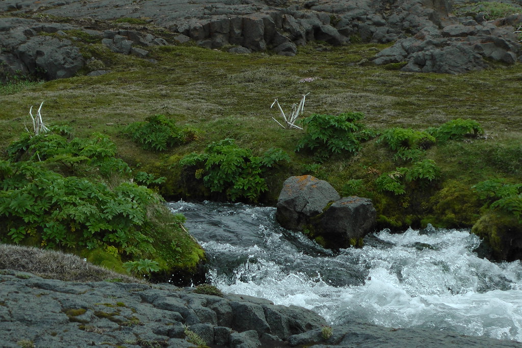
Created a new hot river
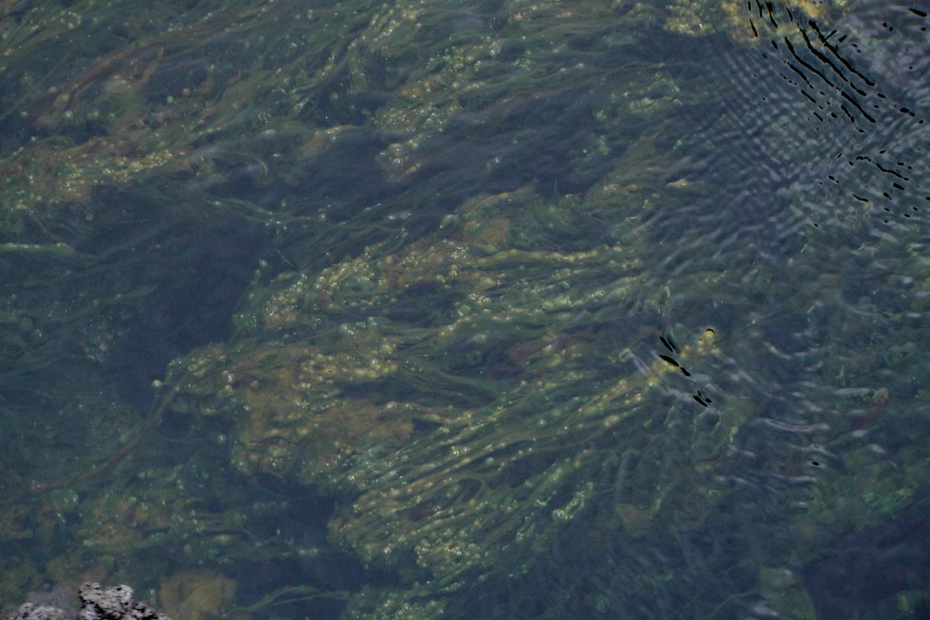
When I was there, the hottest water I and a person I was walking around with measured was 24C - not hot enough to swim in in a place as cold as the Icelandic highlands.
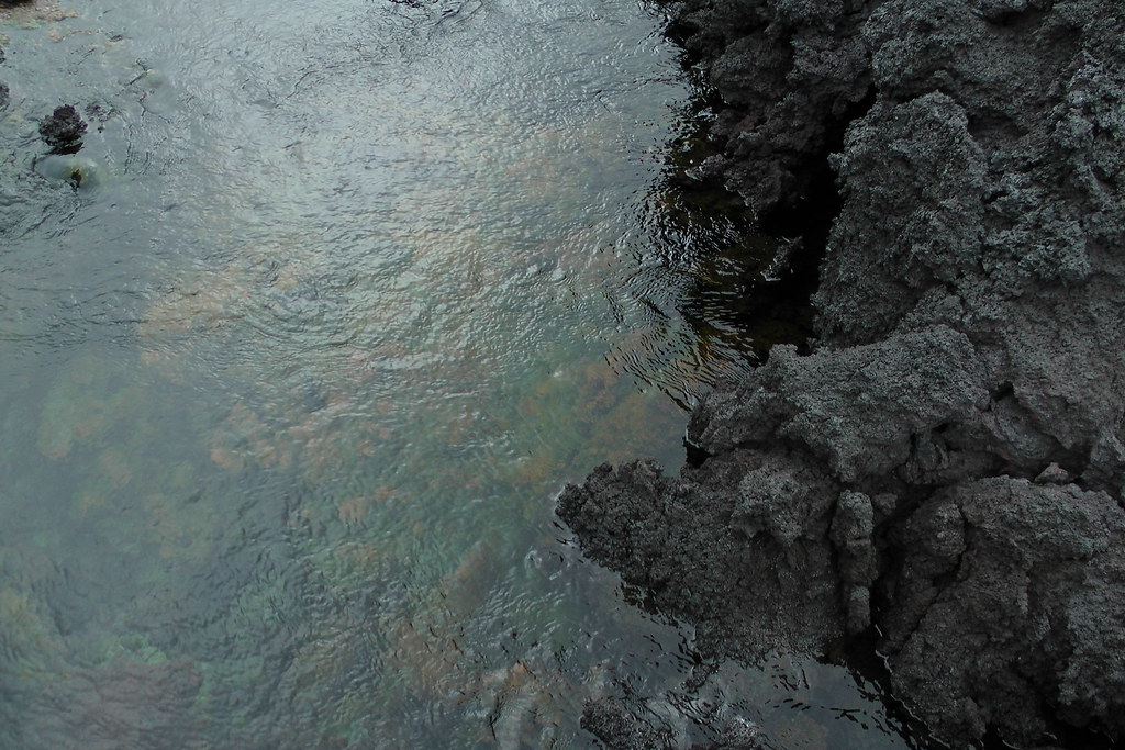
However, after I left, it was reported that a new hot river has sprung up under the lava field and feeding into the Jökulsá. At 40C, it's nearly perfect spa temperature.
(Image Credit: Júlía Björnsdóttir / MBL)
Nowhere have they found a location in it that is hot enough to burn swimmers, and the bottom is just sand and gravel, rather than the visciously sharp surface of the lava itself.
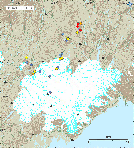
Bárðarbunga's ice cap still has holes
Satellite views show that even after winter, deep depressions caused by the geothermal release are persisting over Bárðarbunga's caldera
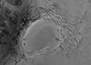
(Image Credit: Terrastar)
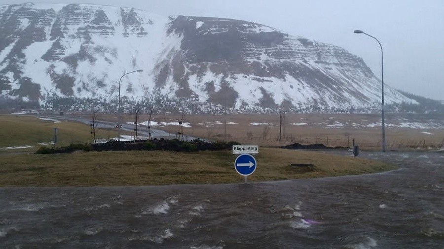
Possibly caused our bizarre winter
Last winter was weird. It was one of the windiest and snowiest on record. Our glaciers which have been declining for decades actually added ice last year, and not just a little. The spring thaws led to massive flooding in town:
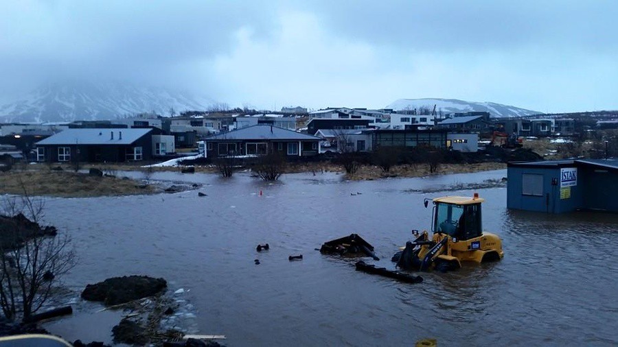
(Image Credit: Inga Birna Erlingsdóttir / DV)
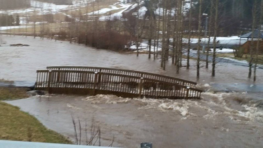
(Image Credit: Inga Birna Erlingsdóttir / DV)
(Image Credit: Inga Birna Erlingsdóttir / DV)
(Iceland is so orderly that even the floodwaters follow traffic signs - badum-ching! ;) )
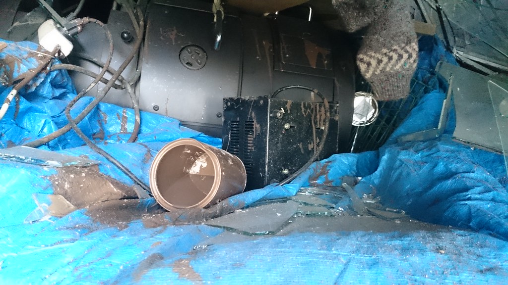
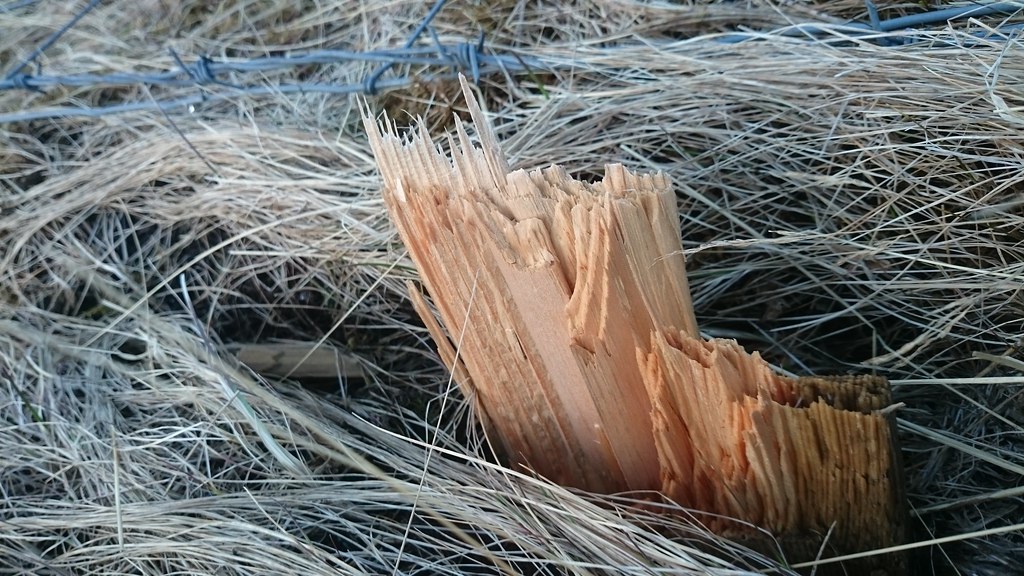
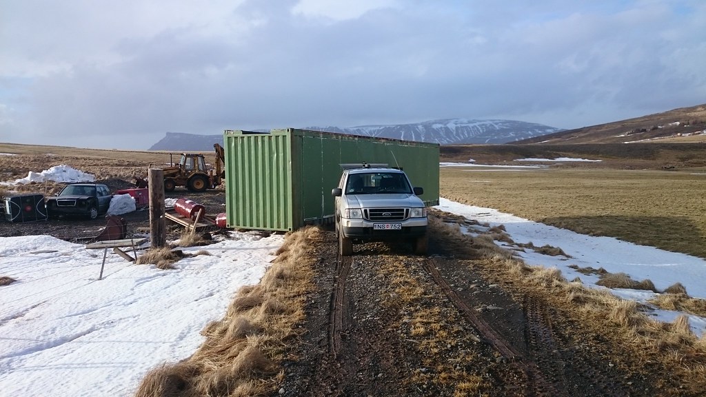
Windstorm after windstorm hit, rarely more than two or three days apart. The strongest to hit my land had 130 mile per hour winds. It ripped my windbreak to shreds (board after snapped at the base) and flipped over my storage crate three times (which was to be buried just two weeks later :Þ), despite it being full of tonnes of steel, glass, and wood.
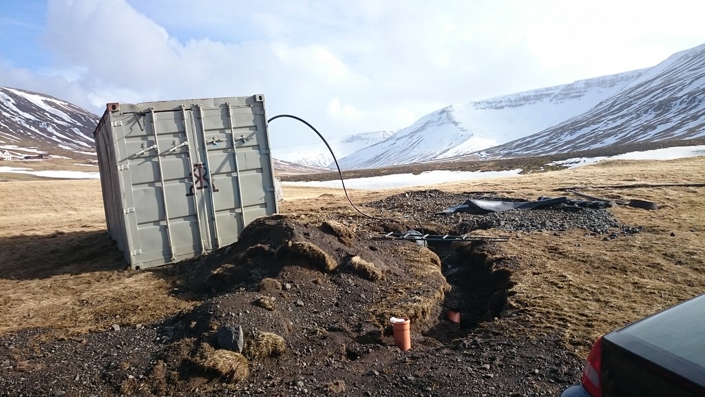
On the other side of the canyon from me, another full crate that had been there for much of a decade was tossed around like a toy, and the center of an old concrete stables collapsed under the force, turning it into two separate buildings:
What does this have to do with the eruption? Well, according to some of the experts, all of the gas released may have been the cause.
The plant life this year seems to be tolerating the pollution well
Contrary to a lot of worries that the pollution would severely hinder plant growth in the area after the eruption, plant life seems to be doing reasonably well in the area.
The sheep, on the other hand, aren't
The rate of sheep death has been abnormally high this year, at nearly 5000, and it's been very worrying to ranchers. They have since early spring reported seeing sheep eat and eat and not gain weight, and then die as if starving. Experts have been looking into the deaths and the most likely cause to come forth so far is indeed the eruption, but not what was initially suspected (fluorine). Rather, the high sulfur levels in the grass seem to be inhibiting the bacteria in their digestive system that break down cellulose, leaving the grass poorly digestible.
Still rumbling but no imminent threat
Bárðarbunga, and in particular the dike at the edge of the glacier, has not stopped rumbling after the eruption, and remains the largest source of earthquakes in Iceland (except for a few brief periods, such as when we had what appeared to have been a brief underwater eruption off the southwest coast). However, the rate of rumbling has been slowly declining with time, so it was decided, bit by bit, to reopen the area as the pollution levels declined. The Transportation Department (Vegagerðin) however seems to be using some tricks to delay people getting to the most dangerous areas (most on that later ;) ).
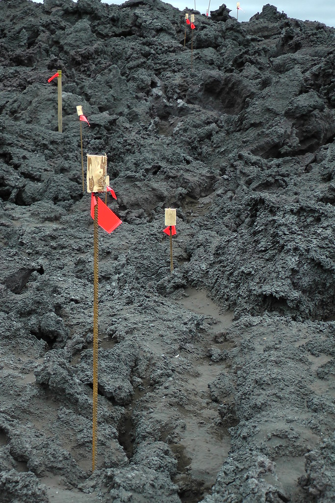
Just days before I went on my trip, they opened the first short "trails" over the lava field. So with that, I switch over photodiary mode to document my visit. :)
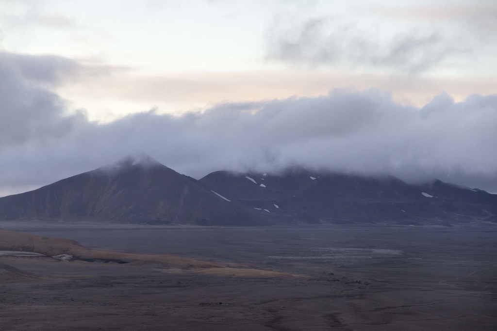
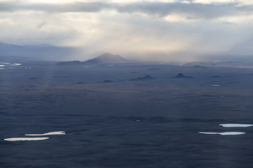
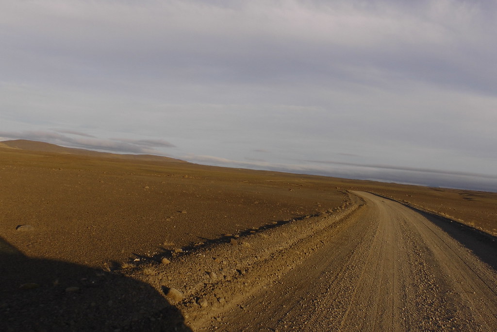
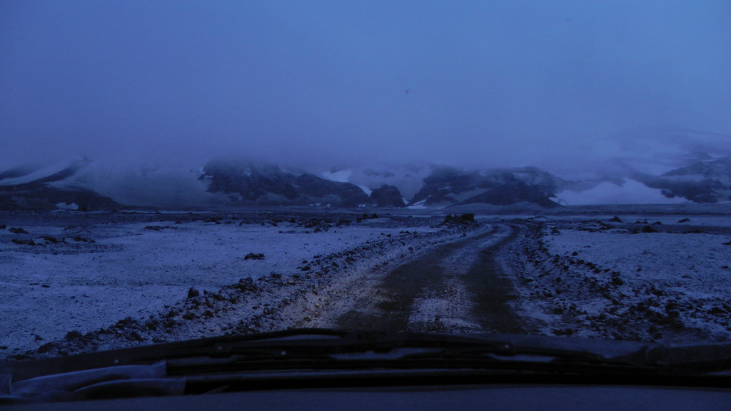
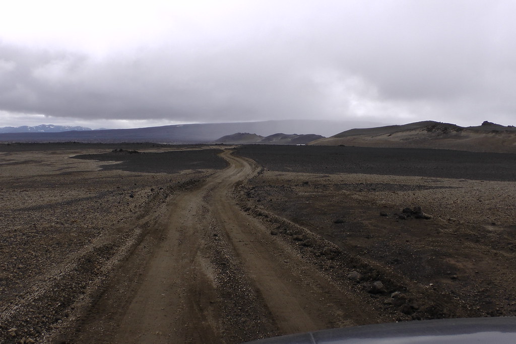
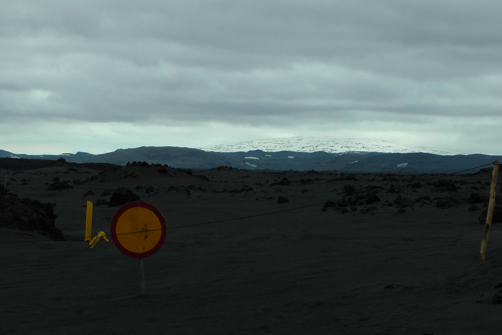
First, of course, to get there you have to drive over the highlands - an area with no gas stations, no power lines, no paved roads, etc:
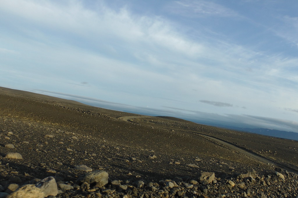
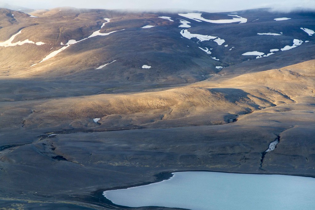
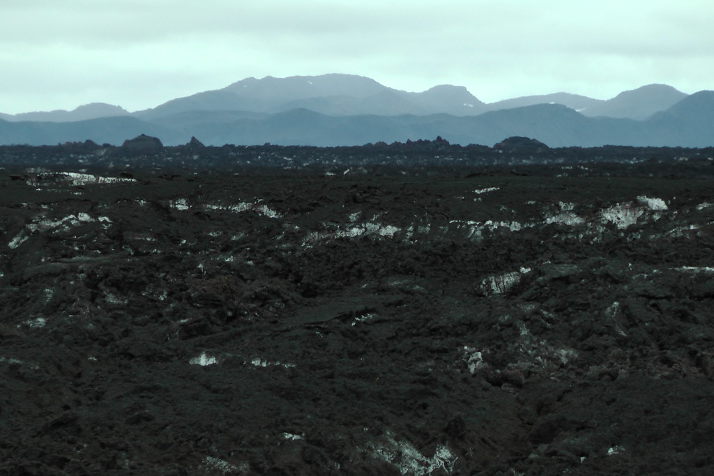
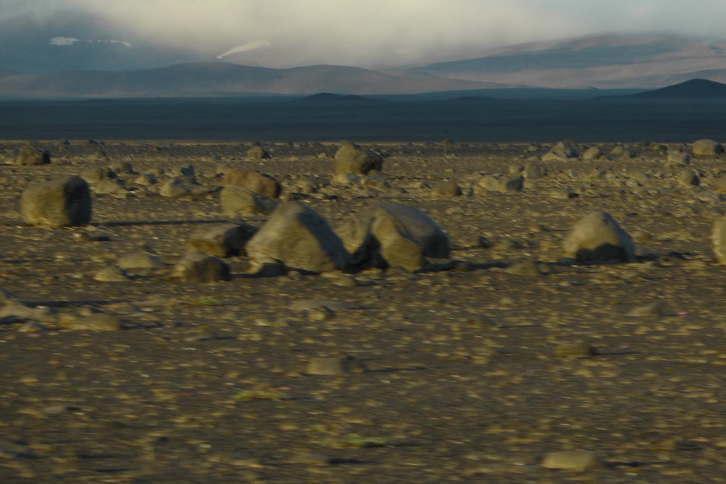
It's mile after mile of beautiful nothingness, a thousand forms of nothing - black sand, gray gravel, brown dust, pale pumice, red clinker, islands of life, gnarly lava, etc, interspersed with volcanoes, glaciers, and other things that like to loom threateningly over you.
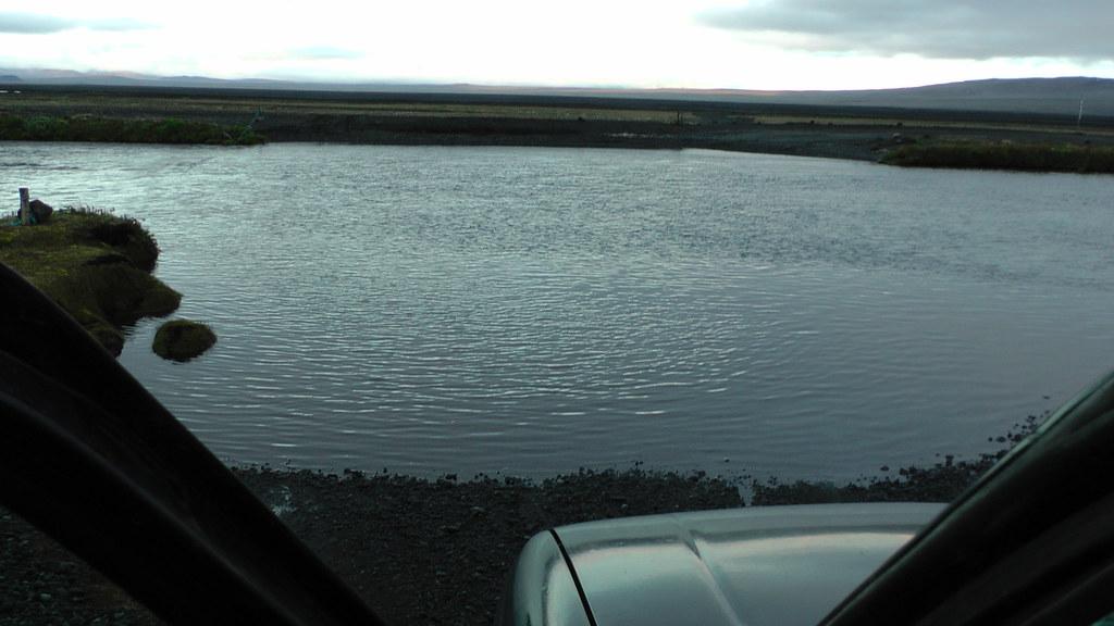
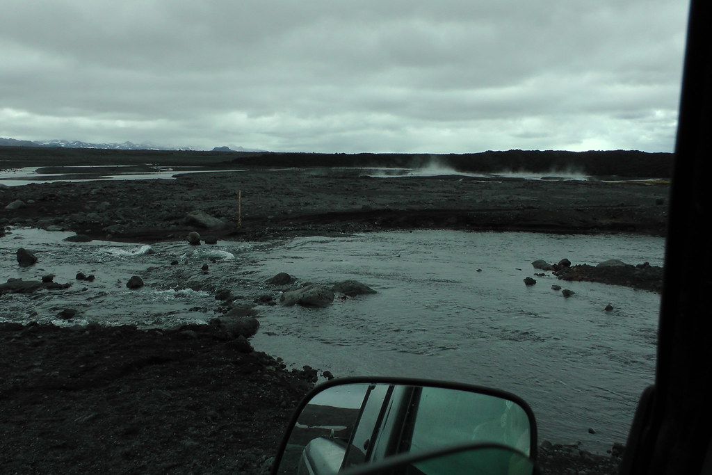
Even bridges are only used in the most extreme situations. In the most case, when you come to a river, even a fairly deep or fast one, you're going to be driving across it:
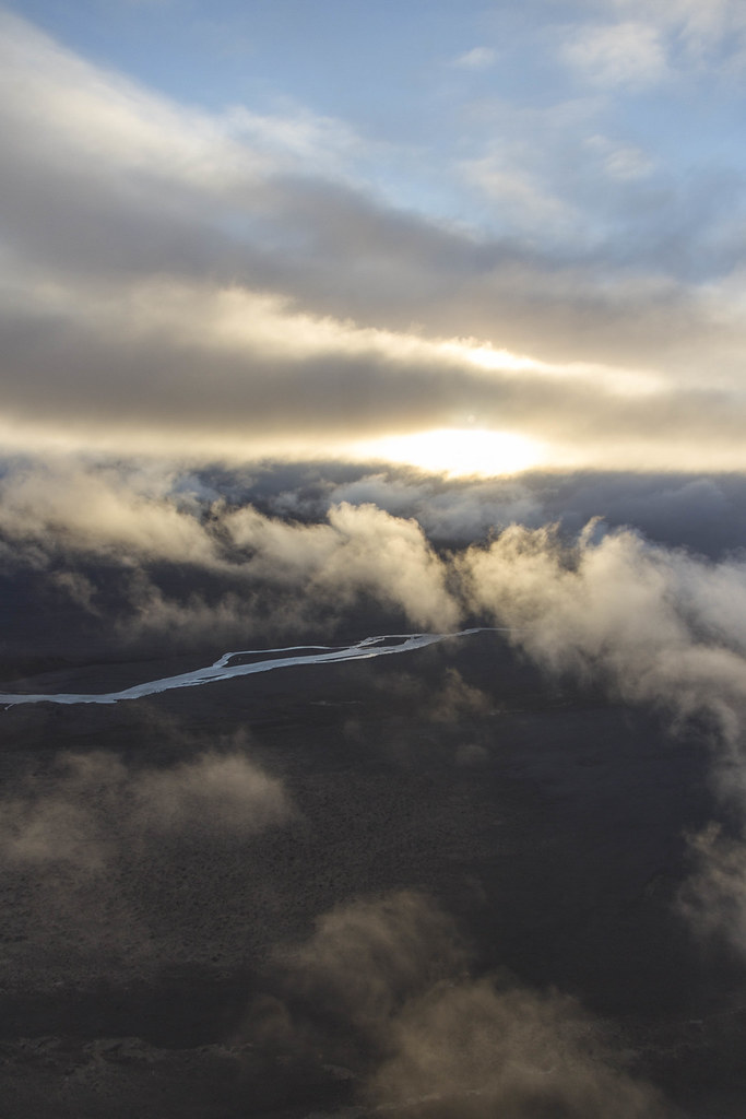
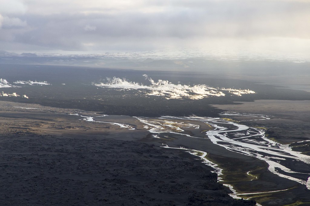
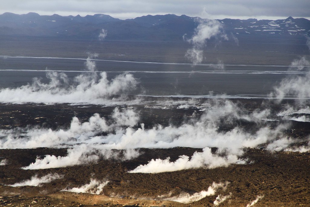
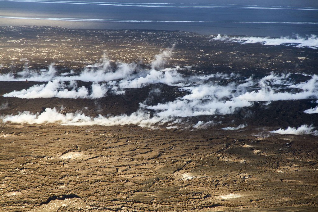
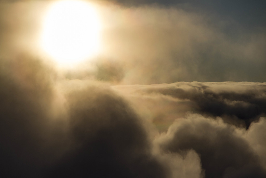
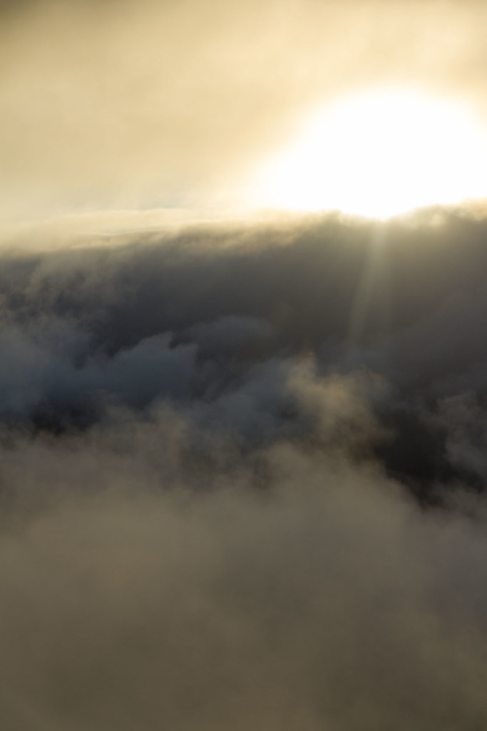
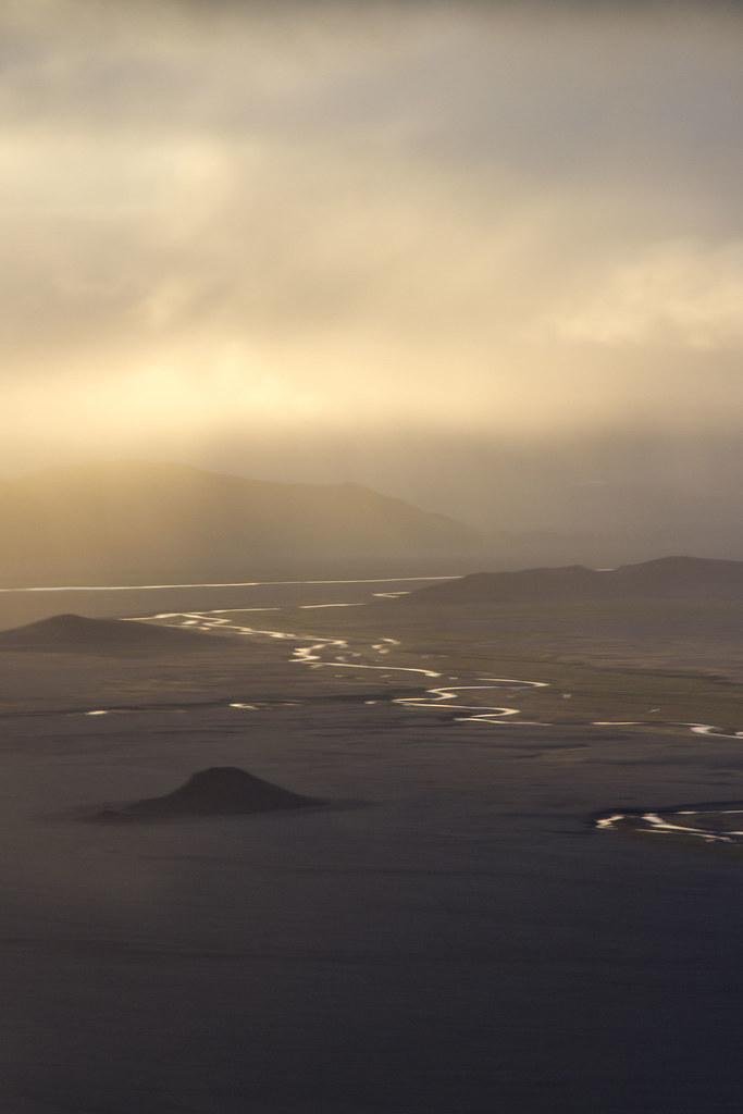
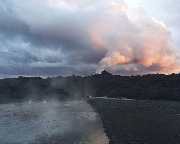
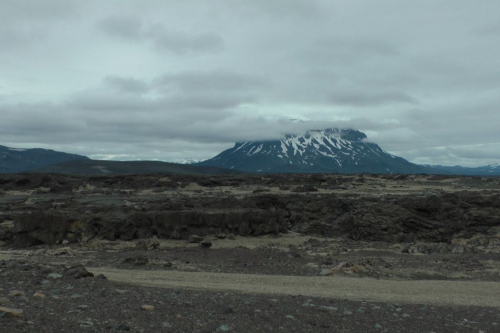
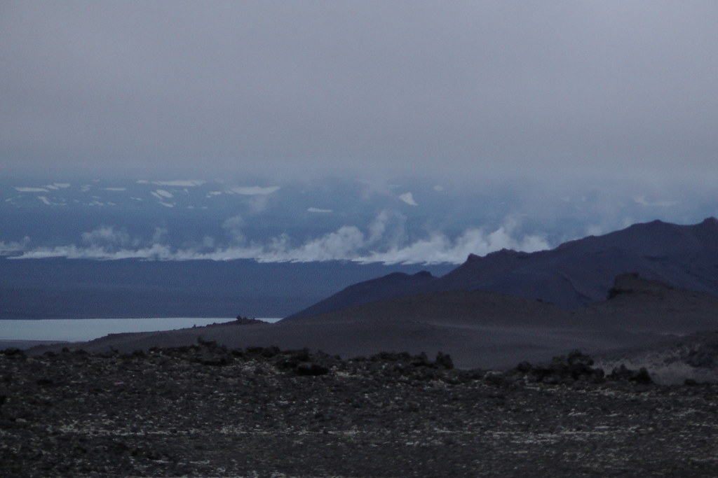
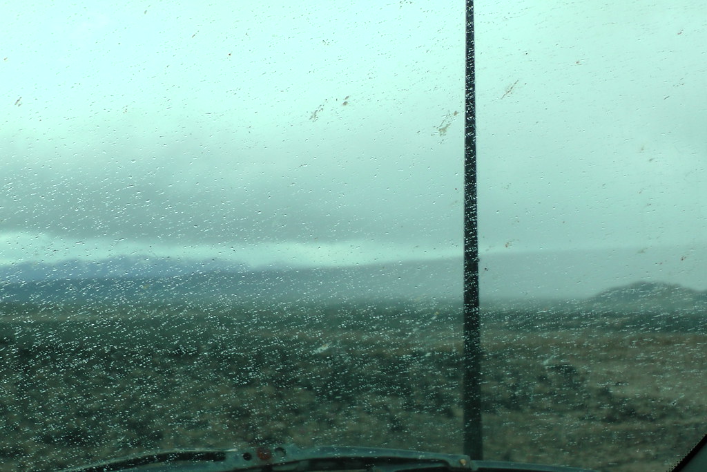
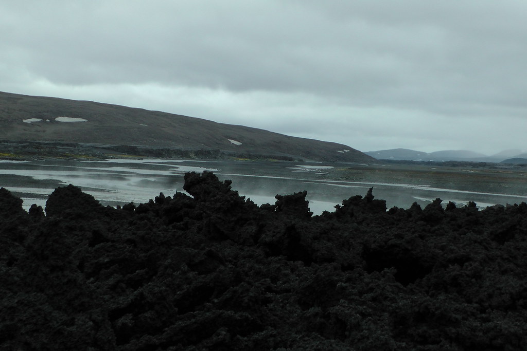
As you get deeper into the highlands, you start to see the steam from the lava still billowing in the distance:
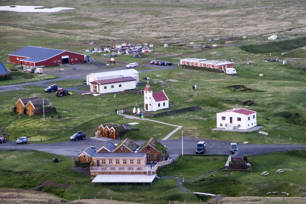
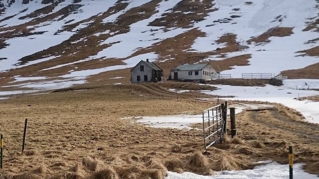
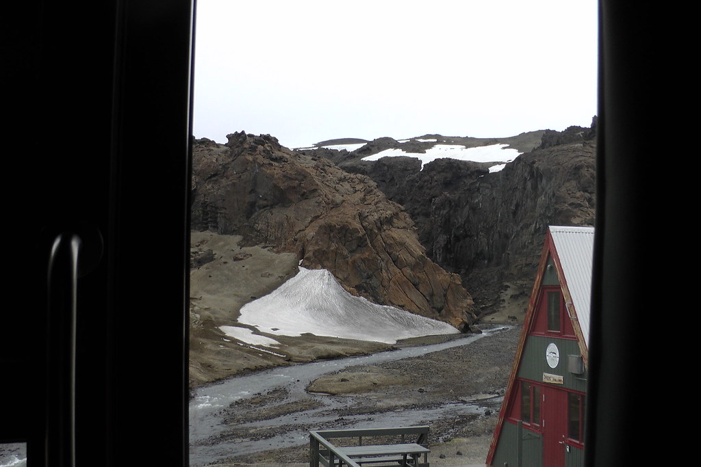
I stayed at Askja at Drekagil, the same place where the researchers had stayed during the eruption:
One of the nights there, even though it was late June, it snowed:
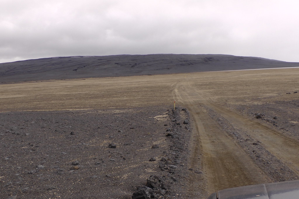
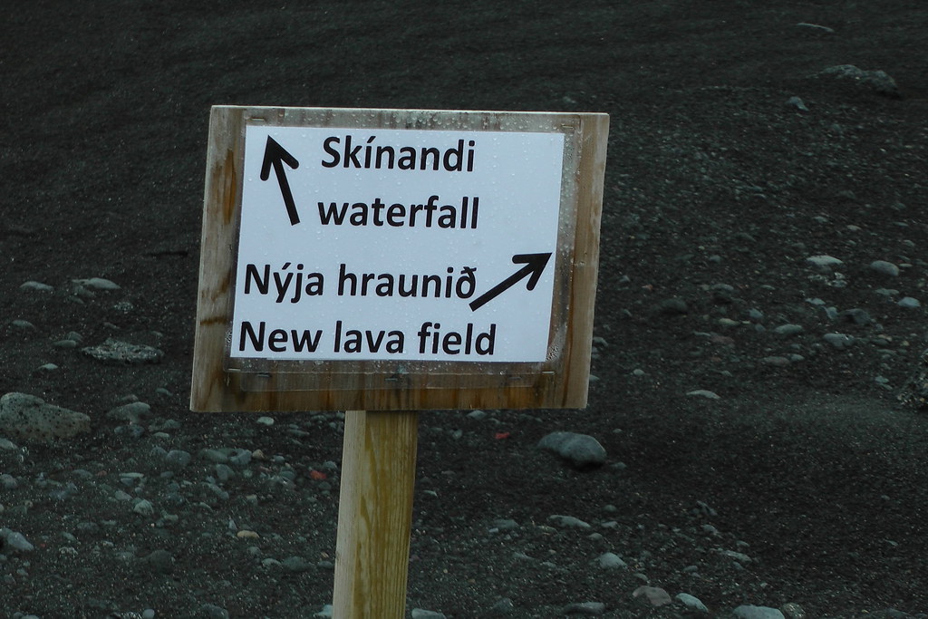
From there it was a relatively short drive to the lava field (past Vaðalda, where the Míla cameras are located)
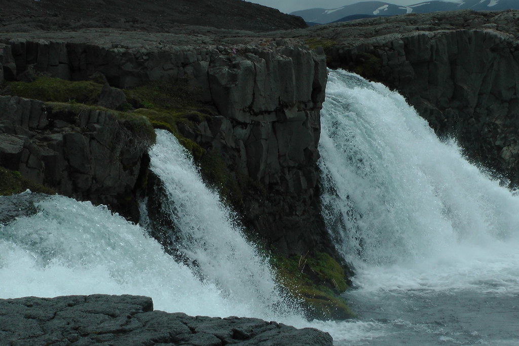
First I went to check out the Svartá and its waterfall Skínandi, which were reported to have narrowly escaped being overrun by the flows, right next to the Jökulsá á Fjöllum. At closest approach, the lava had come within perhaps 400 meters of the river, although it was probably twice as far from the waterfall itself:
Trying to get a sense of just why it diverted, I had to cross over a stream to get to the lava flow itself:
On the other side was a car going in the other direction, who warned me of a rock hidden in the water. It turns out it was Bernard Meric, a photographer who had done some of the most spectacular photos of the eruption.
We got to chatting, and it turns out that he was there to do followup photography. He right off the bat mentioned how amazed he was that the waterfall didn't get overrun; when he filmed the flow last fall he was 100% convinced that it was about to get overrun, yet the lava got no further than where it was today - it instead spread out laterally until the flow stopped. He mentioned that he was going to be doing an aerial shoot later that day if the weather was good, and if I could make it to Möðrudalur - 2 to 2 1/2 hours drive from Dreki each way - I might be able to go up for a flight. It meant giving up most of what I had planned to do in the highlands, such as swim in Askja's hot (albeit dangerous) Viti crater, but I told him I'd do my best to make it.
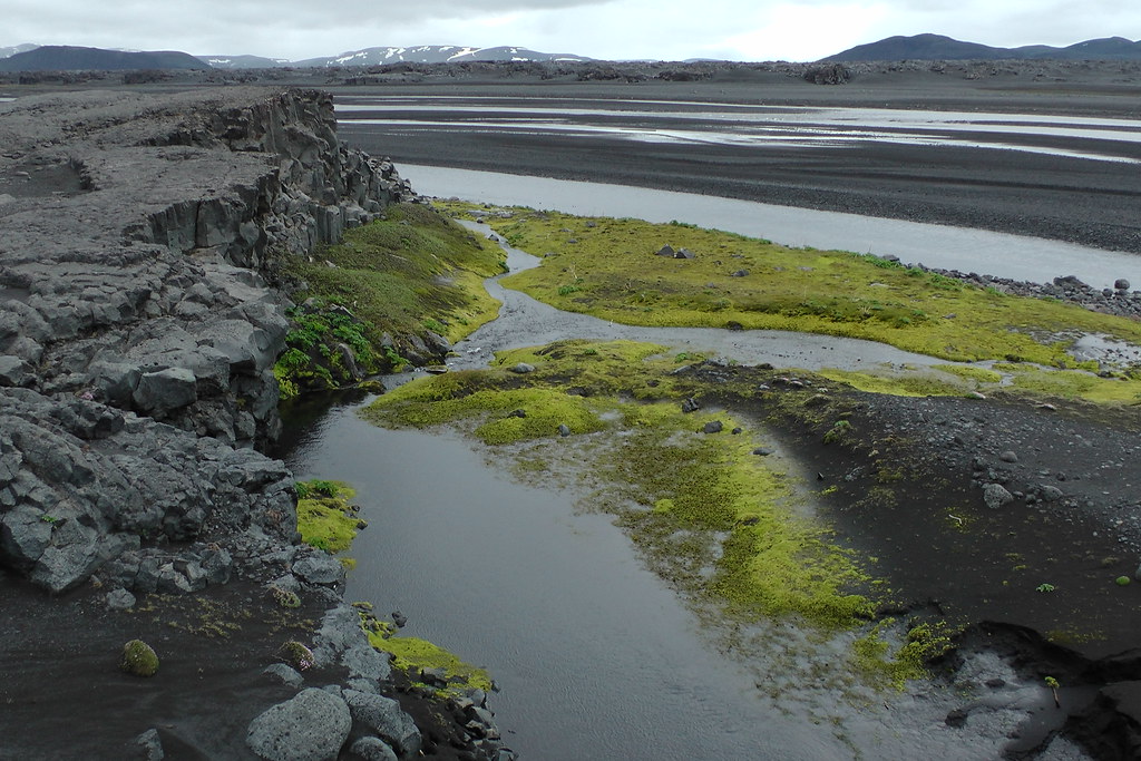
Up close, one quickly sees what caused the diversion in the lava:
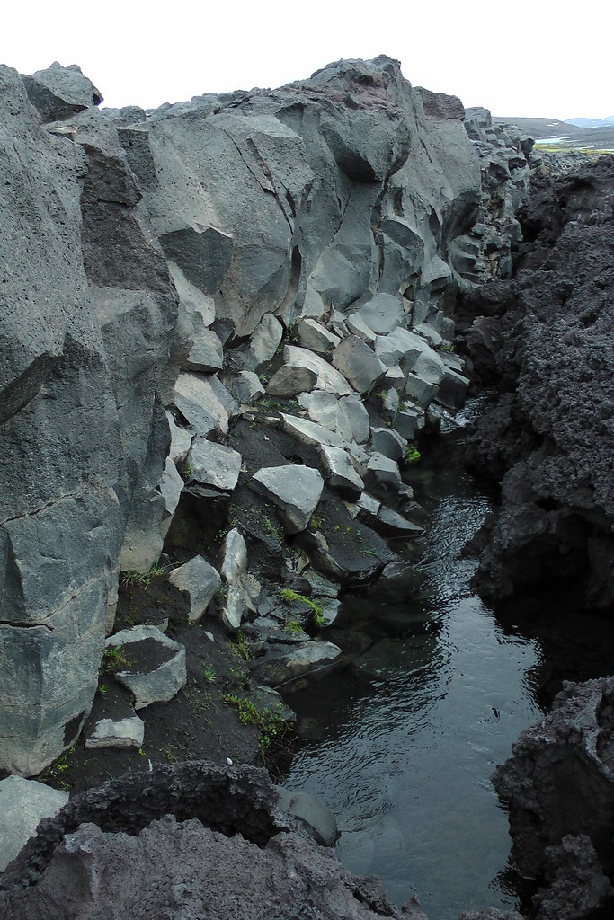
A sheer, straight cliff perpendicular to the river basically acted as a roadblock - the lava had no choice but to spread out further and further into the Jökulsá, which cooled it and resisted flow until the whole tongue of lava stopped being fed. This is where they decided to make a "trail"
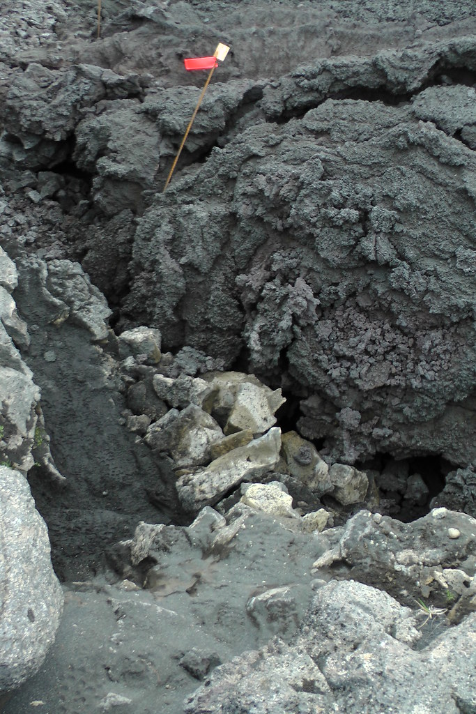
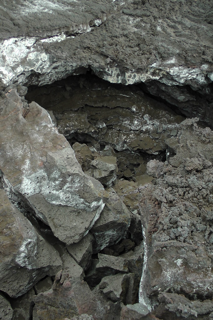
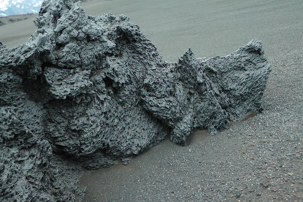
The "trail" here (quotation marks needed) was extremely short, and with good reason: this is the most "unfriendly" lava I've ever tread upon. The best way to describe it would be, imagine trying to walk on a pile of vases that have been coated in broken glass and razor blades. It slides. It collapses. It shatters. And the surface will rip up any part of your body that's not sufficiently well protected. In some spots it's plowed up pastel-colored debris that lies at its angle of repose.
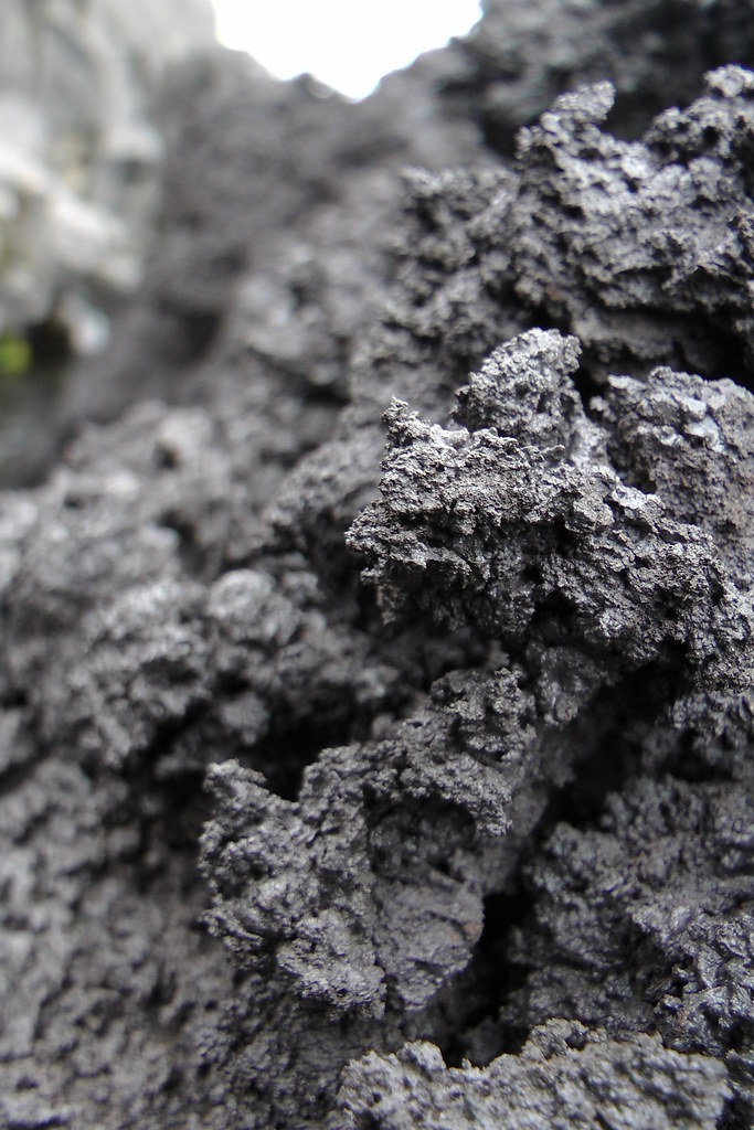
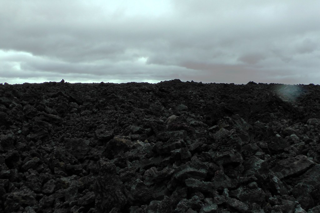
The lava keeps going like this, up and up. Given how slowly you move across it and its seemingly endless nature, it feels like a person could never cross it:
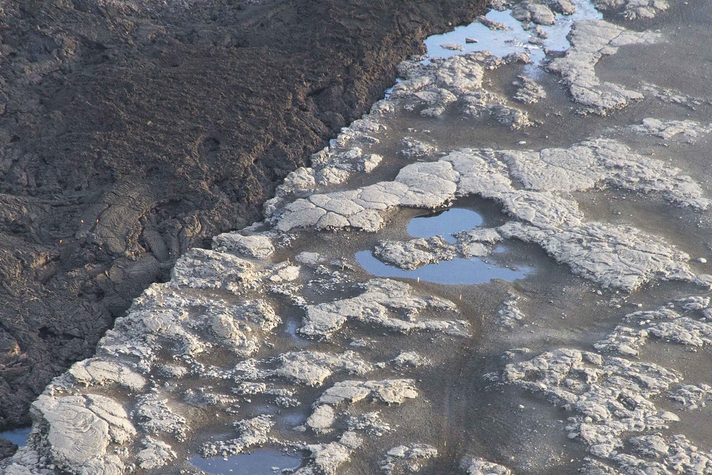
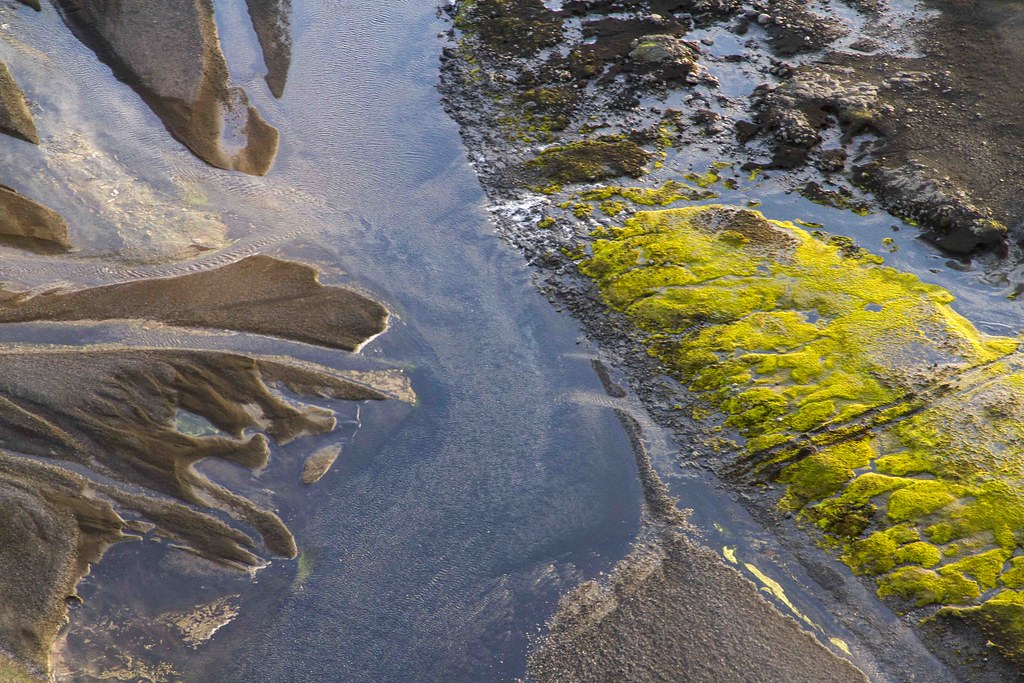
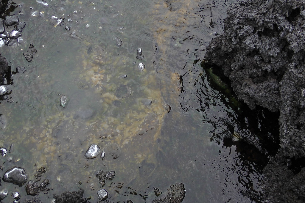
Here I found some of the "almost but not quite" hot enough streams, full of curious bacterial mats. But even if they had been warmer, I wouldn't have dared bathe in them - they were in the lava and would have ripped me to shreds:
I made my way out and back to the car to go to the other "trail", further up the flow in the direction of the glacier:
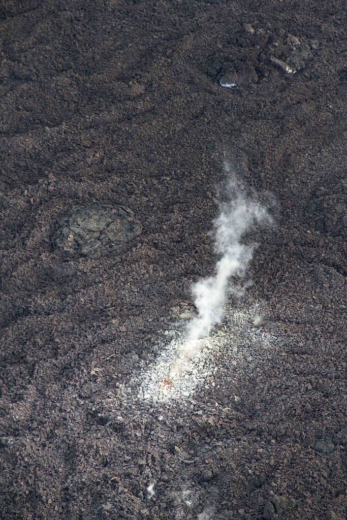
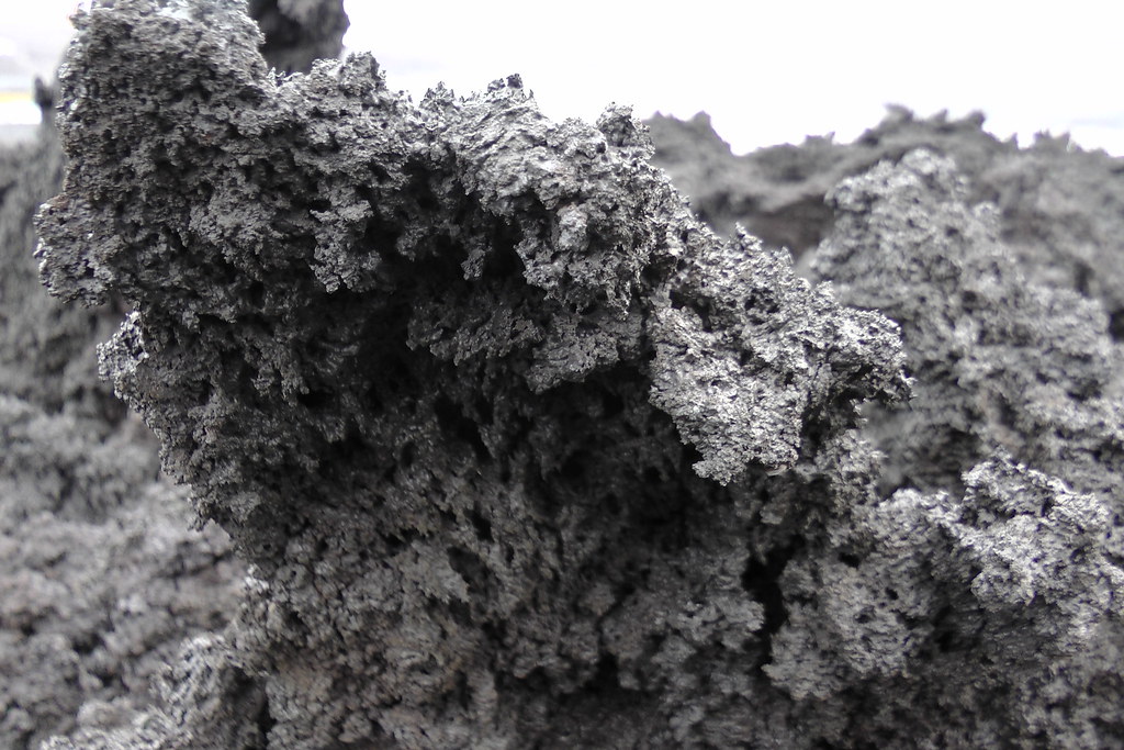
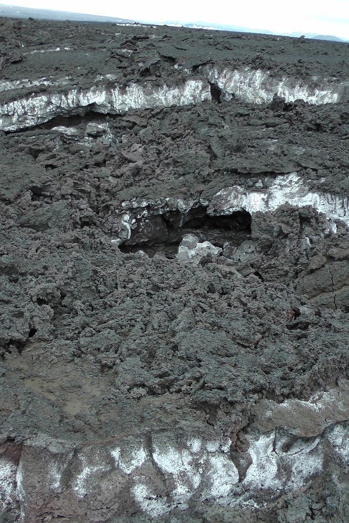
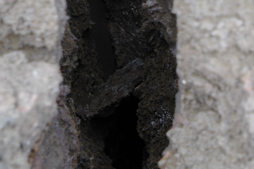
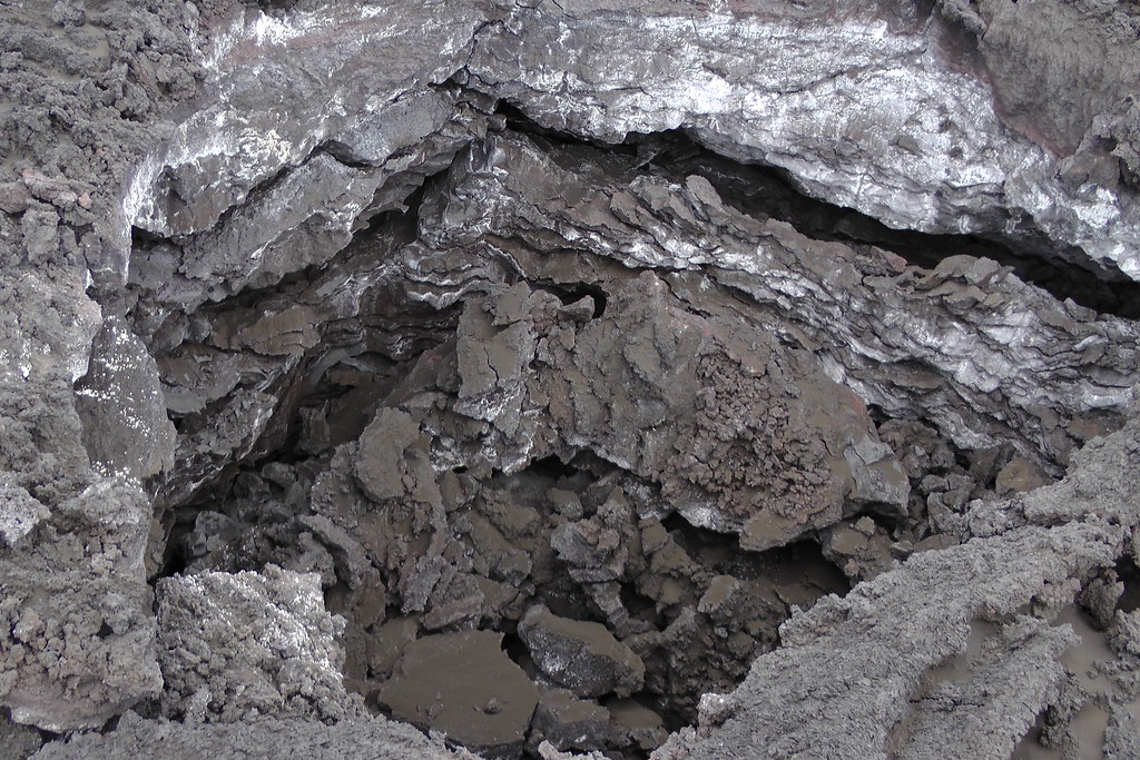
They closed the road at this point, ostensibly due to the lava having overrun the road - more on that later. Going up the lava flow here I found it much easier going. Heat poured out of cracks in the rocks and lava caves littered the landscape:
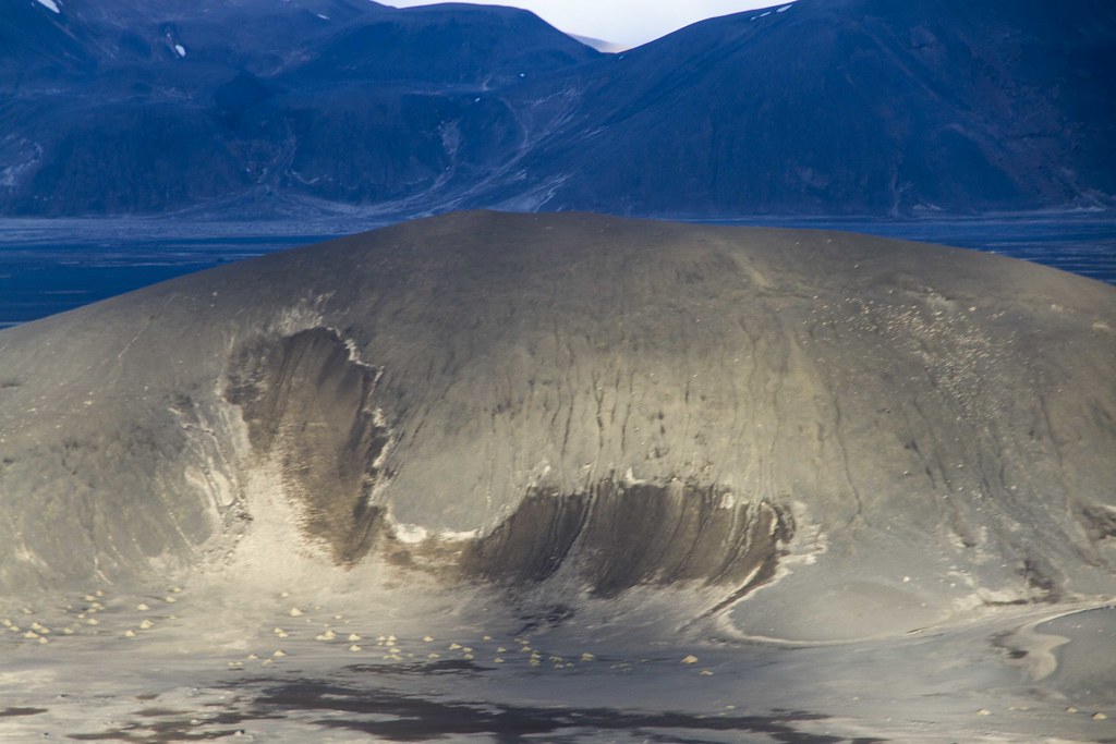
Baugur could be seen in the distance, towering against Dyngjujökull, although I couldn't get to him because of the road closures:

Despite the trail having only existed for a couple days, I already found trash in several places, which I found an amazingly disheartening statement about humanity (I collected what I could, even though it included gross things like tissue paper). Some people also apparently felt the need to draw in the sand:
... ignoring that, with no plant growth here, in wind-sheltered areas things like sand drawings, tire tracks, etc, can last months, years or even decades. I did my best to wipe them out.
I got back to the lava flow and saw some people mingling at the "trailhead":
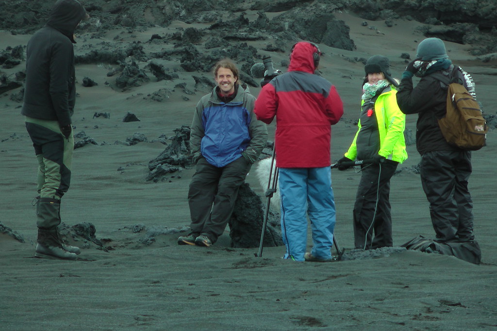
Going up to chat with them, I learned that half of the group was a film crew making a documentary, while the other half were geologists. Asking about their work, it turned out that they were researching the lava flow due to its unusually good correspondance to flows on the moon and Mars, particularly the latter. They were also trying to figure out how life was colonizing it, and why there were huge amounts of steam in some areas but not others.
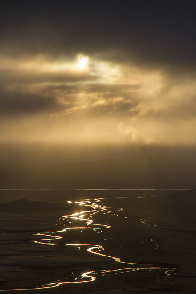
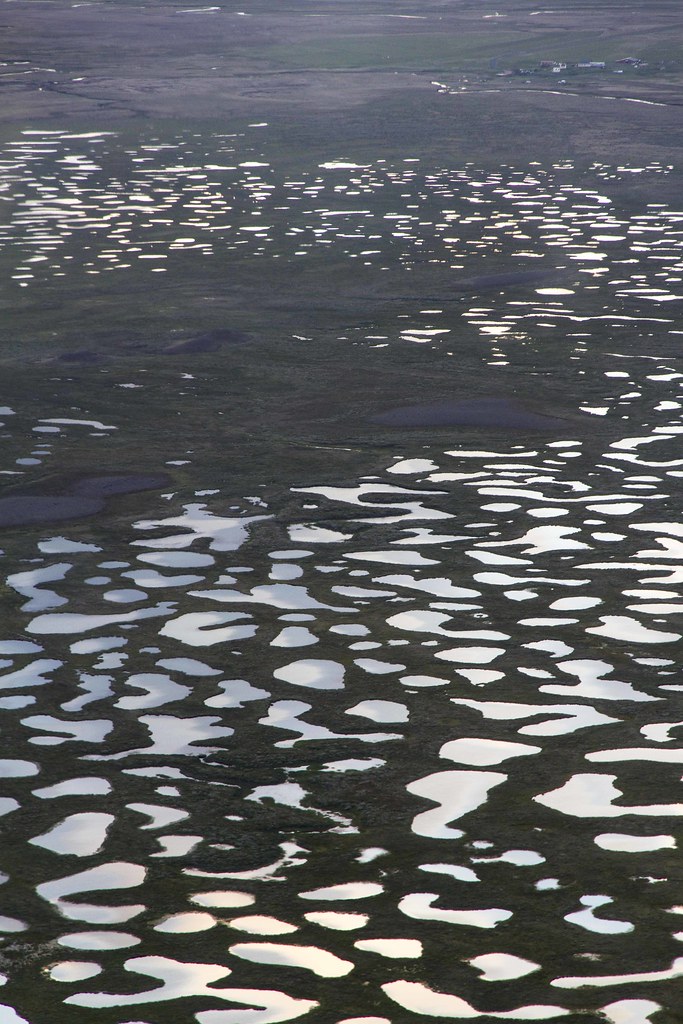
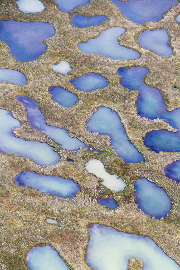
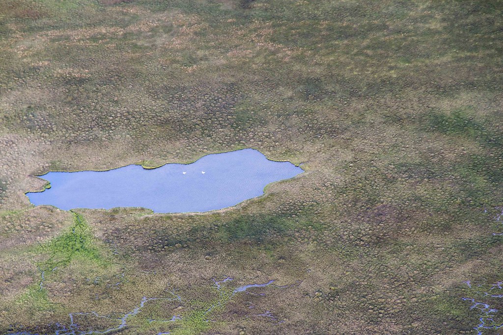
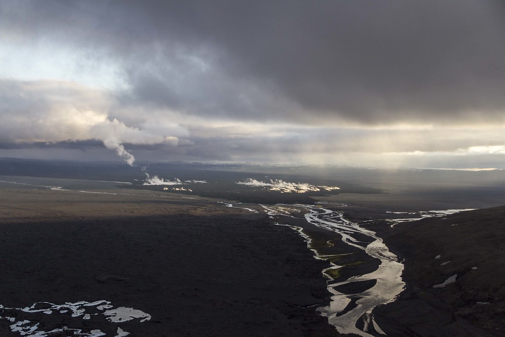
It was a good question, as indeed what happened to the Jökulsá tributaries that used to flow on this side of what is now the lava field... they're simply gone, vanished into the flow. Rather than act like a dam , the lava seems to gulp up water and either boil it off or release it elsewhere. Indeed, the majority of this branch of the Jökulsá seems to get gulped up and then spit out of it:
As for the road: I thought it really weird that they closed it here and built the "trail" where they did. I mean, it would have been much neater to do it where the lava flowed over the old road. While they can certainly ban cars from driving down the road, the area was not a closed zone, so I had the right to walk past the closure, and that I did. It's a wasteland of crazy formations:
Eventually I got to where the road disappeared under the lava:
Which led to an interesting discovery: The new road was actually done. It was missing road markers across maybe 100 meters, but you could easily see where the road was and where the markers resumed; they had a big bin full of the missing markers off to the side:
It was like they had deliberately decided to delay finishing the road to keep people away from Baugur for longer (gas levels are still said to be high near Baugur). I have to admit, I was nearly tempted to pick up a big rock to use as a hammer and finish the markers for them - either that or to jokingly place markers leading the road back into the lava field. ;) But my better angels won the day, and I simply walked back.
I returned to Dreki and decided to see whether I could get to Víti before I needed to leave for Möðrudalur for the flight, my camera nearly dead. The heavy winter snows had left the road to the top half buried in snow, which meant a long, grueling walk up the mountain in the snow. I got high enough to see the interior of Askja's outer ring, but I knew I had to turn back.
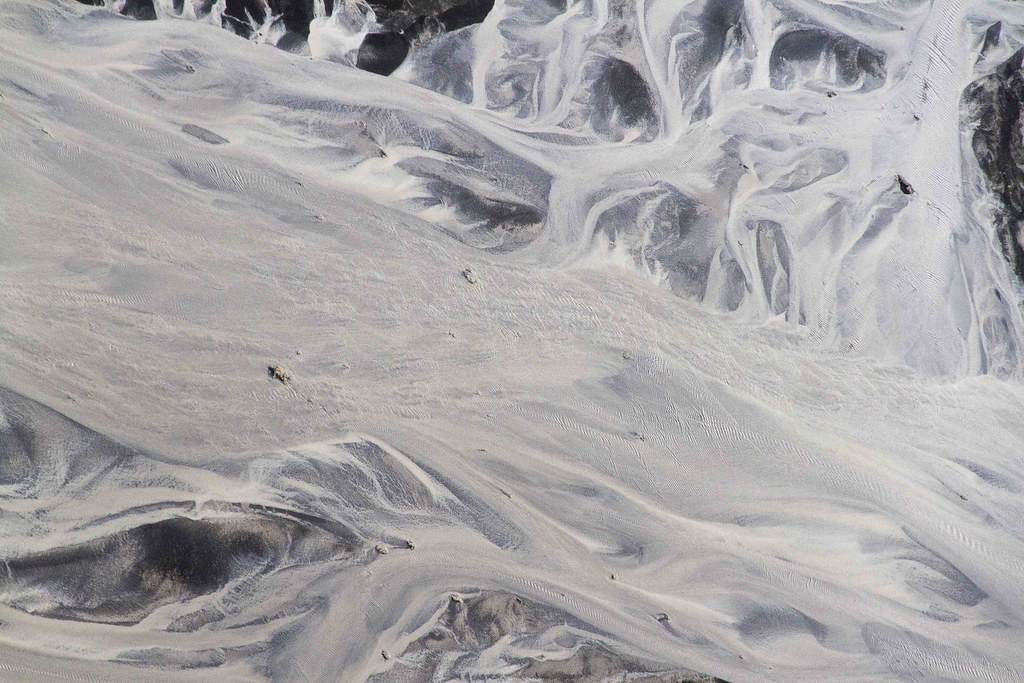
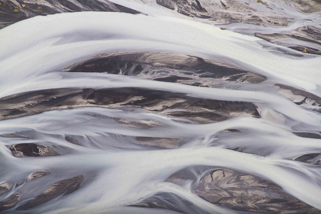
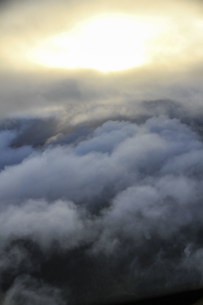
After "racing" across the highlands - which means going between 10 and 60 kilometers per hour (depending on whether you're going over open sands or twisty lava that tries its best to wreck your vehicle) and across a few rivers that left steam coming out of my engine compartment and nearly got me stranded in the middle (note to self: check to make sure your truck hasn't accidentally slipped out of 4wd mode before crossing rivers), I got to Möðrudalur, a tiny hamlet at the edge of the highlands. I found Bernard in a cafe with his pilot, looking uncomfortably at the clouds (no use going out to take pictures on a cloudy day). He had tried to call me to tell me not to come, that they'd try to go up the next day, but I had already left Dreki and couldn't be reached. So we waited and chatted, hoping that the weather would improve. And, hours later... we actually got some sun. Not a lot, but Bernard decided that it would be enough, and we set out. Hearing that my camera battery was head, he let me use one of his (very nice) cameras to take pictures.
If you know any photographers, you know the lengths they'll go for to get a good shot. In Bernard's case, this was "flying with the door to the helicopter removed" ;) Anyway, I'll stop descriptions here and just let the pictures speak for themselves.