The world has just gotten kind of crappy. Time for a break.
Come With Me On A Hike
I've mentioned my latest favorite loop trail. Last time I went I decided to take a camera and plenty of batteries. I took 66 pictures. You can see all of them, with brief comments, here.
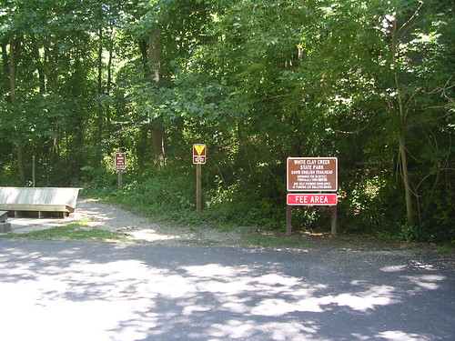
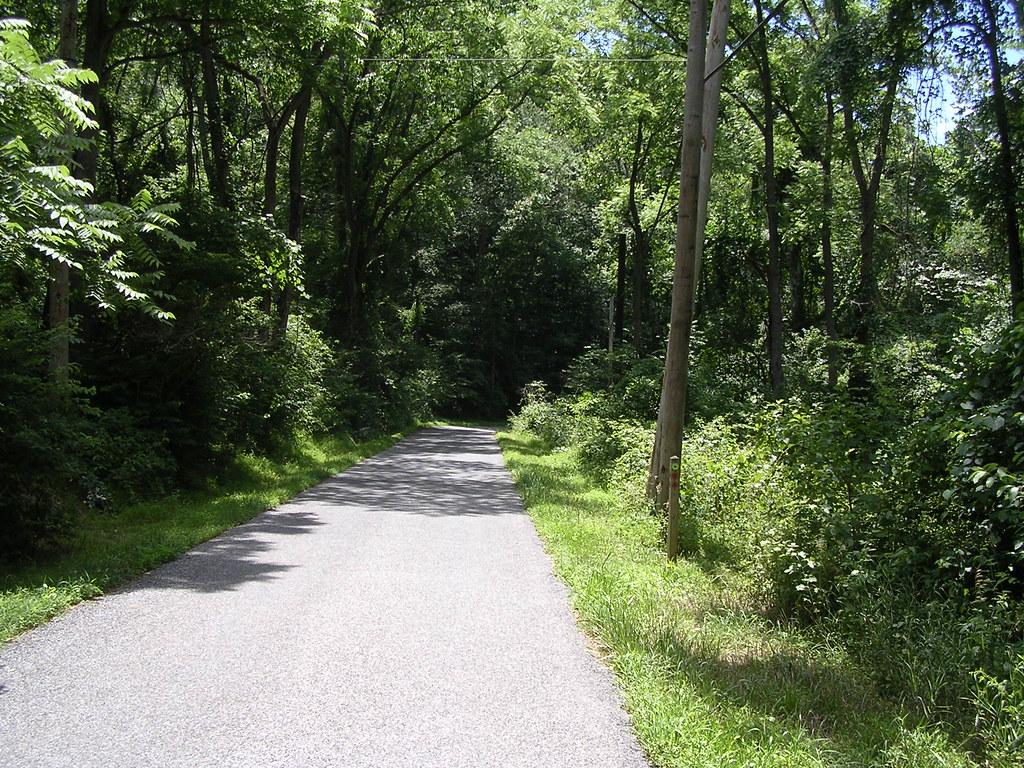
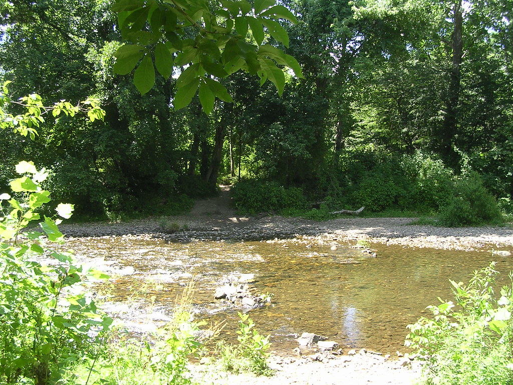
I've only included a few of them here. They're all clickable links to larger versions of the pics. The first one (above) is from the parking lot at the trail head.
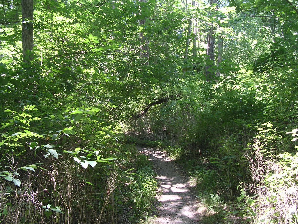
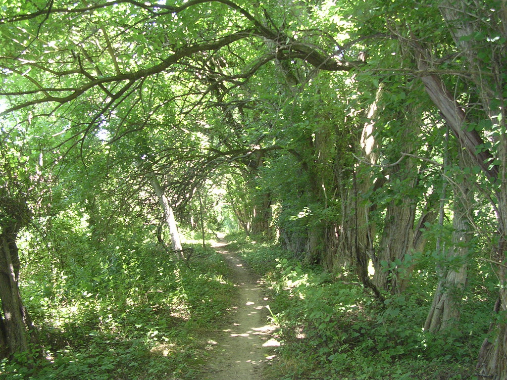
This next picture is on a few feet down the trail from the trail head. One of the things I like best about this loop is the way the scenery changes as you move along it. Here, it's "dense undergrowth" even though the trees are thick and tall. One other thing you'll notice, as we move along, is that this trail is (with one exception, so far) exceptionally well-maintained.
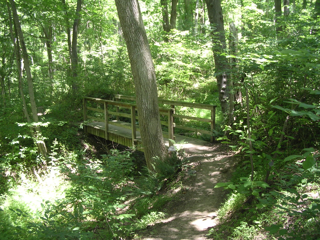
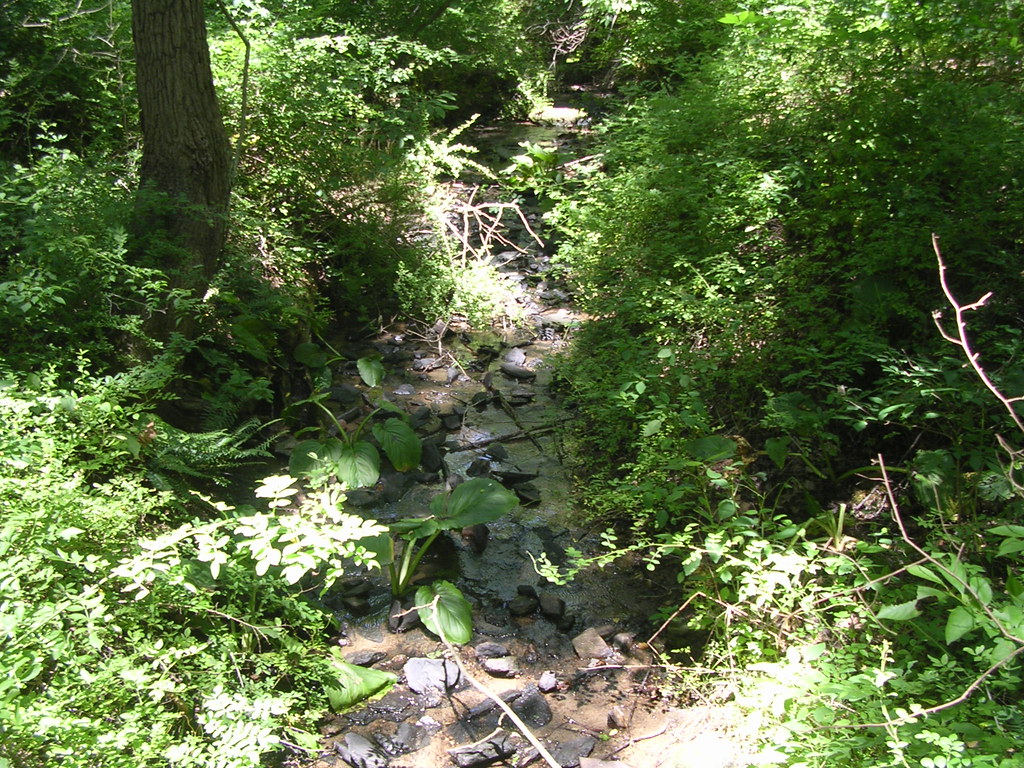
Here's the first of many bridges we'll cross. Not much water in the stream this time of year, but it's still better to go over it than through it.
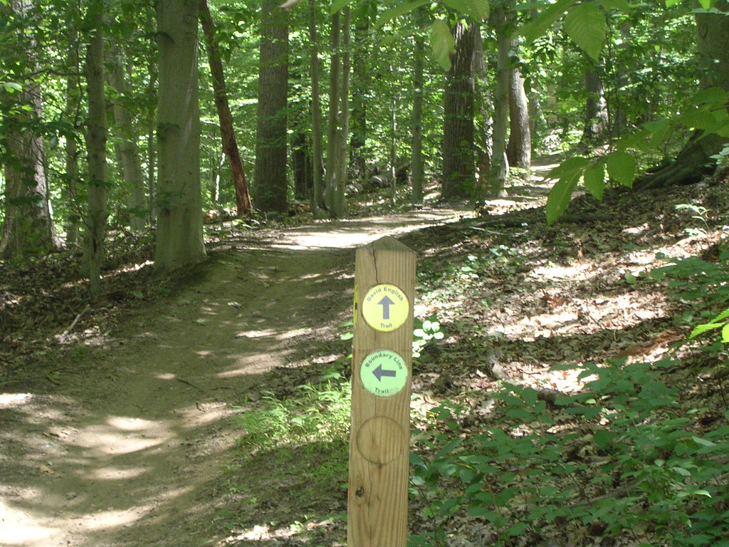
We're now somewhere in the neighborhood of 1/2 mile into a 5 mile hike, now, ready to make a left off the David English trail onto the Boundary Trail. We've ascended, maybe, 100 feet. Notice how there's almost no underbrush beneath the trees. (The 100' change in altitude has nothing to do with this.)
One hundred yards or so down the Boundary Trail you have to cross a road. This road is lightly travelled, and closed on weekends and holidays. I realize the stop sign is for mountain bikers, but I get a kick out of it, nonetheless. Sort of reminds me of some stop signs on gravel roads in SD. You can see for miles that no one is coming, but you have to stop anyway.

Here's a view from another bridge on the boundary trail. Notice the underbrush is thick, again. It's really quiet, here. No road sounds at all, but you'll hear an occasional plane.
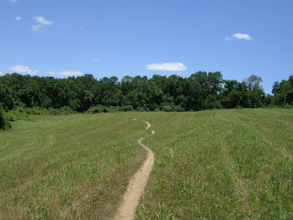
The Boundary Trail has been a steady climb for a mile or so. We come out of the woods into a field. When this field is grown it smells "sickly sweet", but it's been cut, today. It's hot hiking in the sun, but it's not far across.
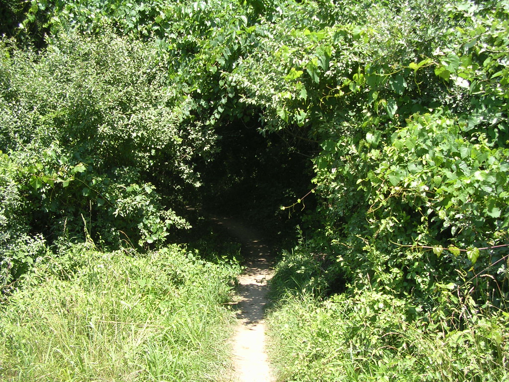
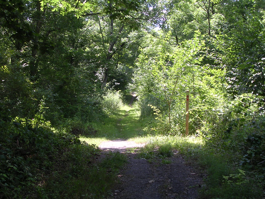
Now we're across the field and about to re-enter the forest. It's not as low as it looks, here. I didn't have to stoop to get in, but it's a LOT cooler in there.
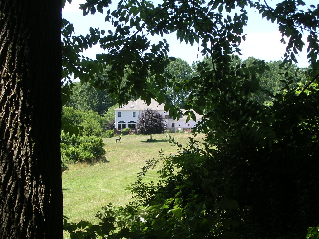
This is one of the two houses you can see from the field and the next part of the trail. The owners must have a sense of humor. If you look closely below the left hand bay window you'll see what looks, from this distance, to be a deer or an elk. It's fake.
Another change in scenery along the boundary trail. The trees on the right were obviously planted, they run straight like a fence down the right side of the trail. When I get here I know I'm close to crossing the second road and near the highest point in the park.
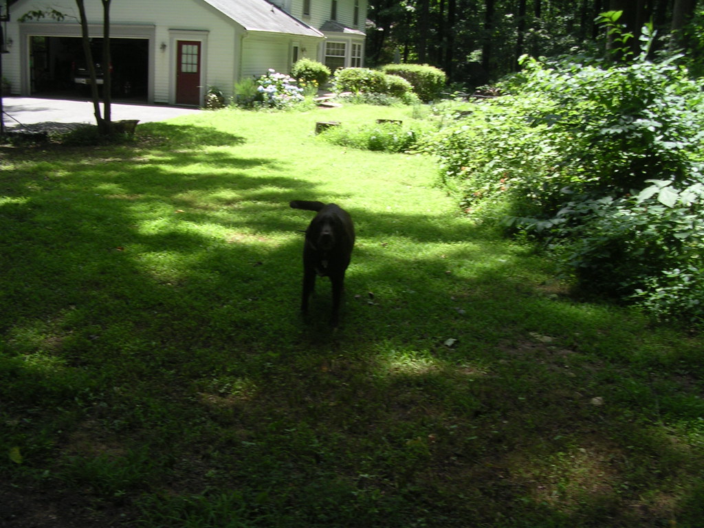
We're across the second road and walking down the short asphalt road. This dog is the official greeter just before we get to the highest point in the park. Notice his tail. He's noisy, but not threatening. Still, I took this picture sort of over my shoulder while continuing to walk. No sense in challenging him on his home turf.
The highest point in the park. Another few yards and it's all downhill from here. This short stretch of road is actually someone's driveway. Today, I walked by a guy getting ready to mow. We exchanged "hello's" and "nice days" and both went about our business. I wonder how many people he's seen walking here?

It may be hard to see, but the second (brown) circle says this is the PA/DE state line. We've been off the driveway for about 1/2 mile, now.
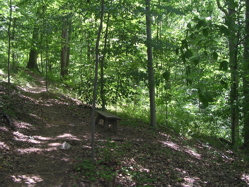
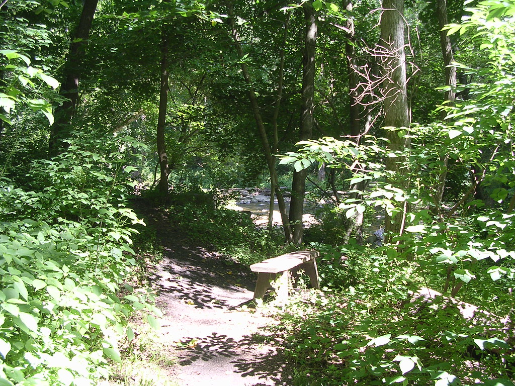
A bench in PA. The hill is steeper than it looks here. It's quiet. Nice place to re-tie your shoes, but the bridge out spot is a much better place to linger. We'll stop for 5 minutes, then move on.
Walking down Yeatman Station Road. This road is open to traffic, but you rarely see any. It dead ends in about 1/2 mile. Then you're back by White Clay Creek.
Continuing on Yeatman Station Road. No car traffic allowed, here, but it's wider than what we've been on, so far.

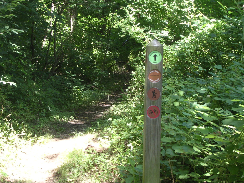
Almost to the bridge out spot. Make a left at the sign and you're on the trail. Go straight and you get a bench with a wonderful view.
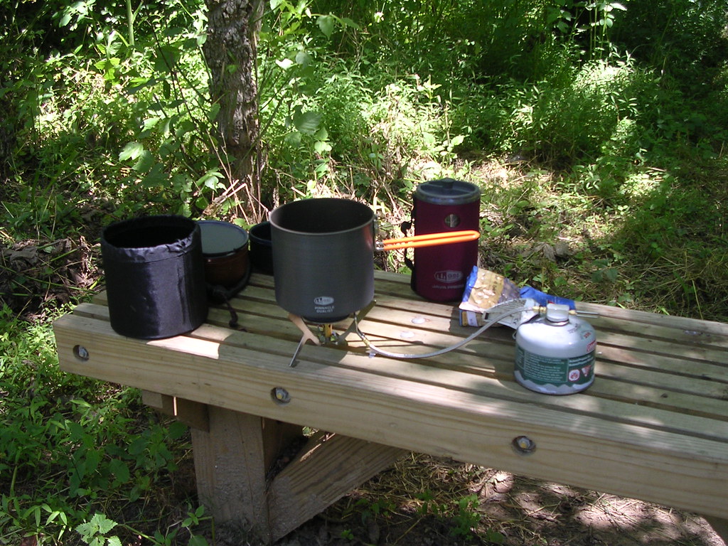
At the bridge out spot. It's time to make coffee. L to R, the sink, the mug, the pot setting on the stove, the coffee press, you can just make out lunch in the bag, and the gas for the stove. Most of this stuff nests inside each other, so it doesn't take up much room in the pack. I stayed here about 1/2 hour, drinking coffee, having lunch, and enjoying the feeling of being a bazillion miles from anyone.
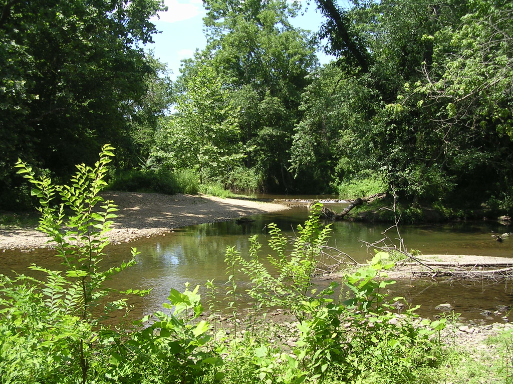
View upstream from the bench at the bridge out spot.
See the trail across from where we're sitting? I hiked that side once, too. Less than 1/4 mile from the creek there's a parking lot in PA. I had hiked from a few miles downstream, so don't know the road. As I sat some kid came across the creek with his bike. He just said "Hi" and kept moving. Makes you wonder where he was going, because on this side we're miles from nowhere.
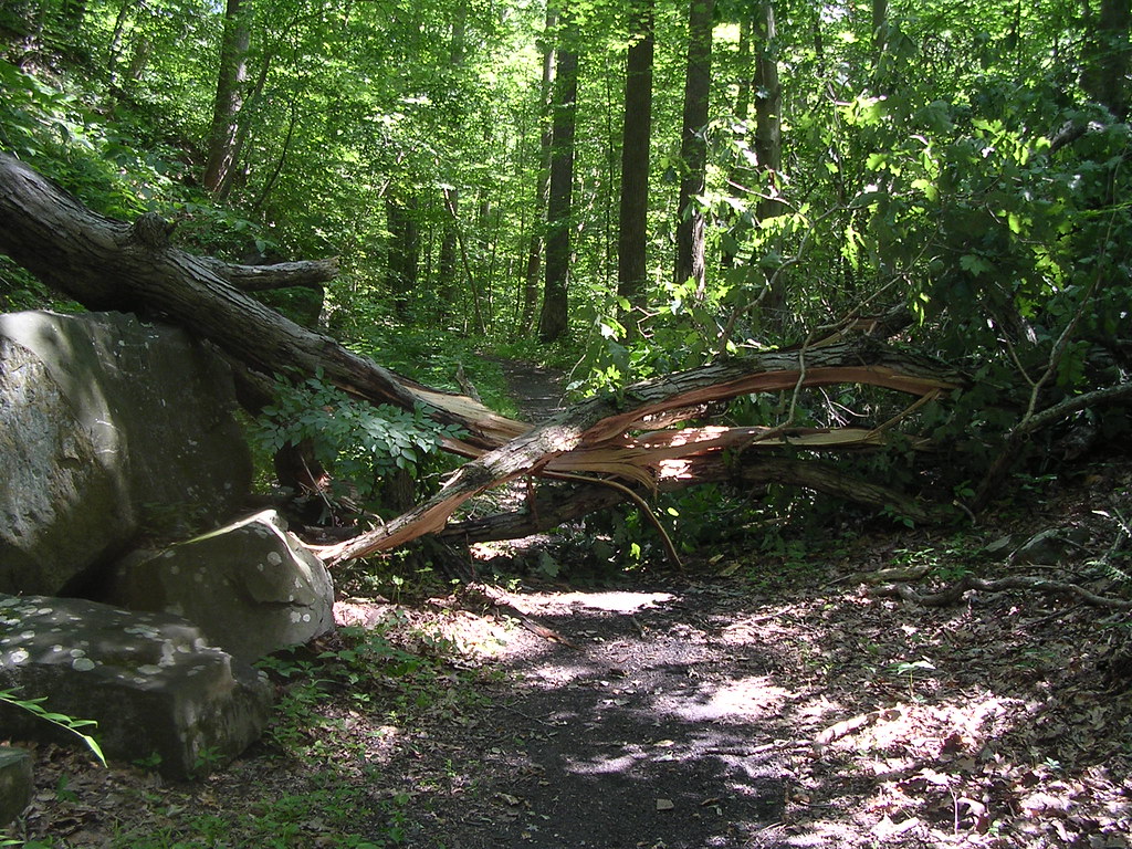
We're now on the Charles Bailey Trail. I'm not real sure where the Boundary Tail ends and this trail begins. This is unusual. These trails are extremely well-maintained, so I was a little surprised to see this tree across the trail. No way around it, and it was either 4 1/2 miles back or go over it, so I climbed over. Not too bad, it was only waist high, but it took some maneuvering with the pack on my back.
The second bridge out spot. The DE/PA state line is a few hundred feet (yards?) to the left. This might be a good spot to stop if I'm ever in the mood for a short (mile or so) hike, but it's too close to the end, today. I'm glad I'm full of coffee and chile mac. ;->
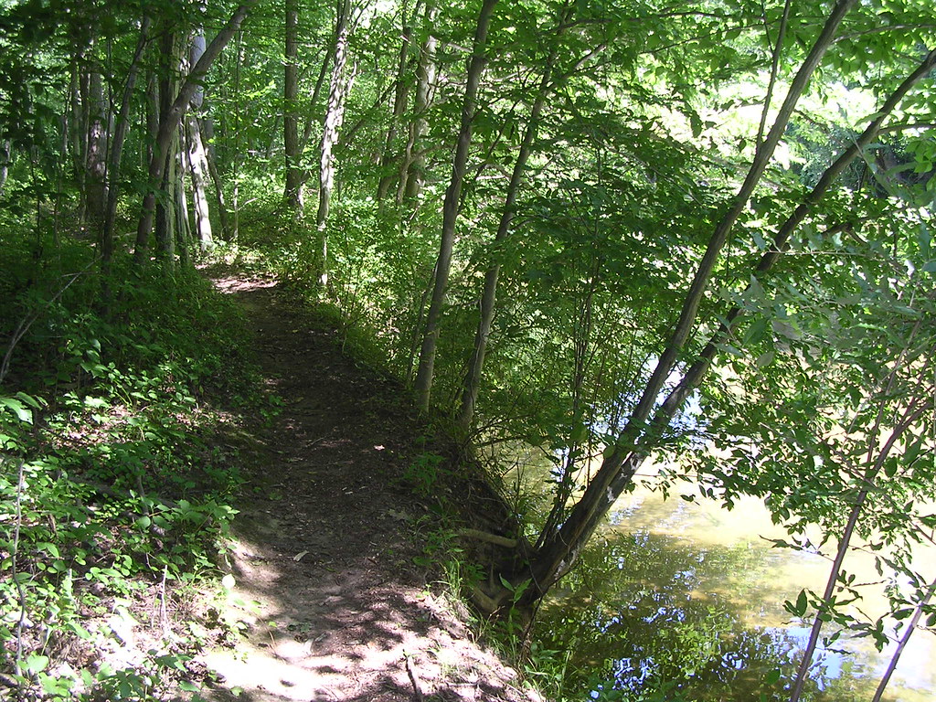
Getting close to the end. This is the last pic in this post. If you want to see the rest, go here. I just wanted to show how close to the creek the trail gets in the last mile.
 width="400"
I hope you enjoyed it. I did.
