Throughout the Fukushima nuclear disaster, an odd thing could be noted. The US seems to be taking a much more concerned approach toward evacuation than Japan has. The Japanese government only just recently upgraded their evacuation zone to 30km from the original 20km, and even that is not mandatory. This whole time, the US has recommended a 50-mile (~80km) evacuation radius for its citizens.
Since Japan has so much more to lose by being wrong, why wouldn't they use the US evacuation radius?
Simple; they basically can't.
For my business, I have a working copy of the GeoNames geographic features database that I can issue arbitrary queries to. This contains, among many other things, a list of cities worldwide. All of the cities of reasonable population in Japan (~20k or over) have population figures over. To fill in the gaps for smaller cities and to account for rural populations/unincorporated municipalities, we will add an extra 4k to each city. This is imprecise, but it does not affect the overall picture too greatly.
We then set up a query to look at how many people there are inside each evacuation radius. The below is the code to do it; I will summarize what it's doing and what the results are immediately after it:
-----
geonames=> select sum(4000) + sum(population) from geonames where feature_class = 'P' and geoblock1_longitude in (27, 28, 29) and geoblock1_latitude in (7, 8, 9) and earth_distance(ll_to_earth(latitude, longitude), ll_to_earth(37.421112, 141.033179)) < 20000;

 ?column?

----------

    89866

(1 row)
geonames=> select sum(4000) + sum(population) from geonames where feature_class = 'P' and geoblock1_longitude in (27, 28, 29) and geoblock1_latitude in (7, 8, 9) and earth_distance(ll_to_earth(latitude, longitude), ll_to_earth(37.421112, 141.033179)) < 30000;

 ?column?

----------

   145866

(1 row)
geonames=> select sum(4000) + sum(population) from geonames where feature_class = 'P' and geoblock1_longitude in (27, 28, 29) and geoblock1_latitude in (7, 8, 9) and earth_distance(ll_to_earth(latitude, longitude), ll_to_earth(37.421112, 141.033179)) < 50000;

 ?column?

----------

   726407

(1 row)
geonames=> select sum(4000) + sum(population) from geonames where feature_class = 'P' and geoblock1_longitude in (27, 28, 29) and geoblock1_latitude in (7, 8, 9) and earth_distance(ll_to_earth(latitude, longitude), ll_to_earth(37.421112, 141.033179)) < 80000;

 ?column?

----------

  2367494

(1 row)
----
What each of these doing is summing up for each city within a certain distance -- 20,000 meters, 30,000 meters, 50,000 meters, and 80,000 meters from the reactors, respectively -- the sum of the known and estimated populations within that range. We limit our search to the area around the plant for speed reasons. What we find out is the following:
20km (the original evacuation zone): ~90k people. Most of them are probably already evacuated due to tsunami damage.
30km (the new evacuation zone): ~145k people. Again, most are probably already evacuated.
50km (an arbitrary intermediary measurement: ~726k people. Most are not evacuated.
80km (the US's evacuation zone): ~2.4 million people.
Notice how dramatically the evacuated population rises once you step outside that 30km evacuation zone. Why?
geonames=> select earth_distance(ll_to_earth(latitude, longitude), ll_to_earth(37.421112, 141.033179)), asciiname, population, latitude, longitude from geonames where feature_class='P' AND geoblock1_longitude in (27, 28, 29) and geoblock1_latitude in (7, 8, 9) and earth_distance(ll_to_earth(latitude, longitude), ll_to_earth(37.421112, 141.033179)) < 80000 and population > 100000 order by earth_distance(ll_to_earth(latitude, longitude), ll_to_earth(37.421112, 141.033179));

  earth_distance  | asciiname | population |  latitude   |  longitude

------------------+-----------+------------+-------------+--------------

 43394.3344668441 | Iwaki     |     357309 | 37.05000000 | 140.88333330

 57508.4560359889 | Koriyama  |     340560 | 37.40000000 | 140.38333330

  61950.610151041 | Fukushima |     294237 | 37.75000000 | 140.46666670

(3 rows)

(Above: Iwaki)
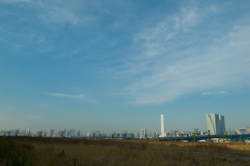
(Above: Koriyama)
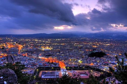
(Above: Fukushima)
That is, there are three major cities, with populations similar to Arlington, New Orleans, and Cincinatti, respectively, that would have to be evacuated (along with many smaller ones).
What would 2.4 million IDPs -- let's face it, refugees -- mean to Japan?

(Above: Putting 2.4 million people in perspective: this shot shows a fraction of the people inside a building that, when full holds 10,000)
Japan is a country with 40% of the US's population and 4% of its land area. Of that land area, 75% is extremely mountainous; Japan has little arable land to expand into. Scaling the displaced peoples to US-scale from a purely population perspective, is equivalent to if the US had to evacuate both Los Angeles and Chicago, or perhaps 3/4ths of New York City. From a perspective of where to settle them, the problem becomes extremely difficult. Factor in that these people need to be supported instead of contributing approximately $70B annually to the Japanese economy and you have a devastating picture.
Basically, Japan essentially can't afford to evacuate people within the 50-mile exclusion recommended by US nuclear scientists. It doesn't matter that the furthest of those major cities (Fukushima-shi) was, as of yesterday, at nearly 100 times their normal background radiation. And that unlike most background radiation, the source of this radiation is inhaleable/ingestable particulate matter (internal exposure is orders of magnitude worse than external exposure in terms of health consequnces).
They're just not going to do it.
