The water contamination crisis in Charleston, WV, has generated some well deserved attention here. It has created a disruption in the personal and economic lives of those affected that is hard to wrap your head around in some ways. I thought I would post some photos for those of you who are unfamiliar with Charleston and its environs, in order to show what the area looks like, and depict the degree to which both the coal and chemical industries are entwined in both the landscape and the economy of the place.
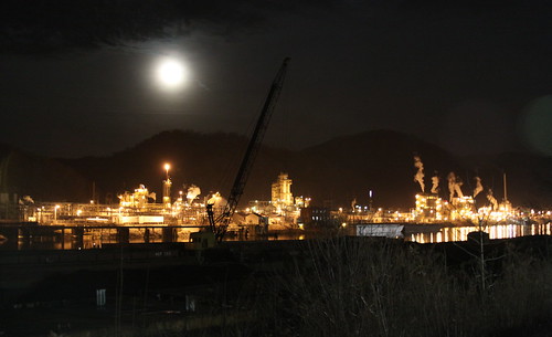
Here, for example, is the DuPont Chemical plant, located in Charleston. The night setting makes it look nicer, perhaps, than is deserved.
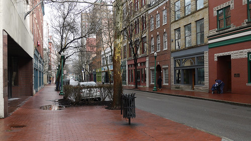
This photo was shot in the heart of downtown Charleston last Friday, at 12:30 in the afternoon. The street would ordinarily be crowded with people on their luchbreaks and doing other business. Due to the widespread business and government office closures, however, it is almost deserted.

Another chemical plant, Charleston

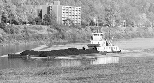
Coal barge on the Kanawha River, Charleston
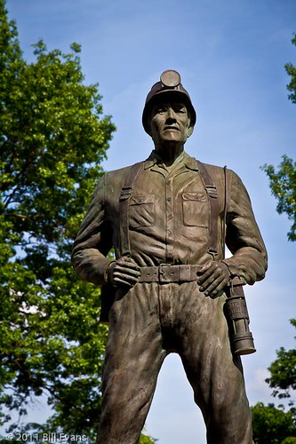
The West Virginia Coal Miner Memorial Statue, Charleston
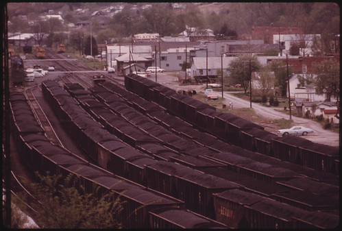
Train yard near Charleston, feeding coal to a hungry nation
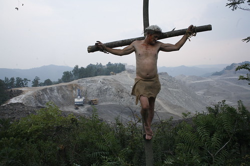
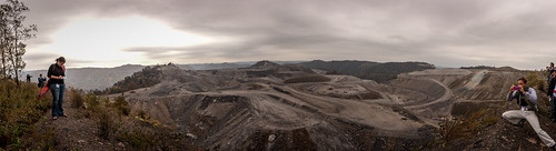
Mountaintop removal, Kayford Coal Mine, near Charleston
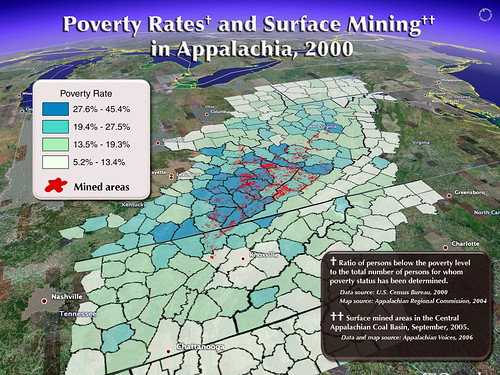
Here is a map that I wish all West Virginians would both see and study. It shows the correlation between poverty and areas that have been mined for coal. Take a look. It exposes the lie that Coal is the economic force that provides West Virginians with a chance at making a living.