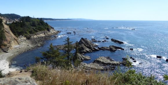
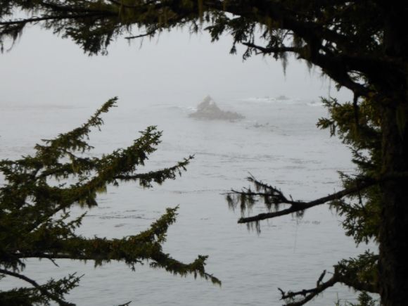
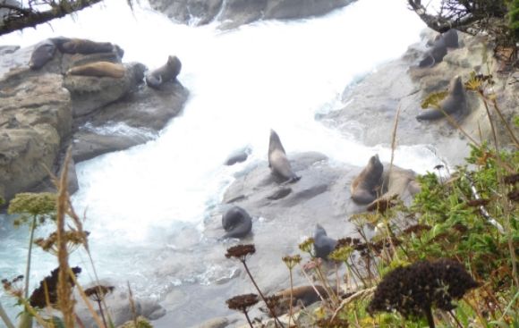
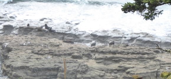
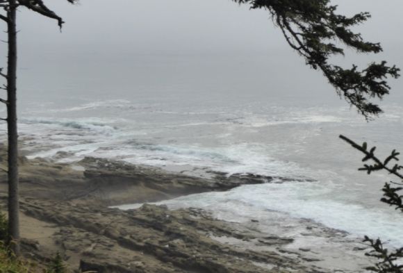
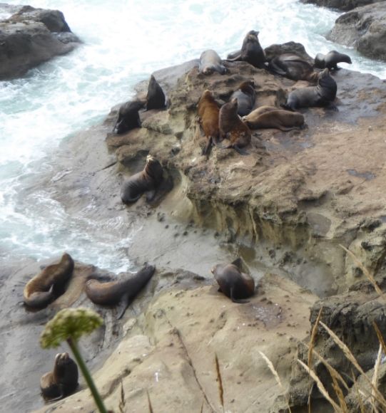
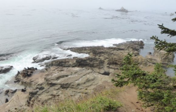
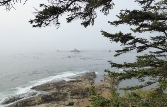
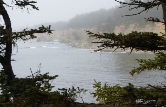
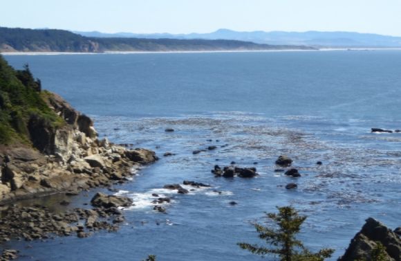
In 1778, Captain James Cook sighted a promontory which just out about half a mile into the Pacific Ocean and named it St. Gregory. There is also some speculation that Sir Francis Drake landed here in 1578. In 1850, the U.S. Coast Survey gave the promontory the name Cape Arago in honor of French physicist and geographer Dominique F.J. Arago. Today this is the 146-acre Cape Arago State Park. It is located 15 miles southwest of Coos Bay, Oregon.
According to the Park’s website:
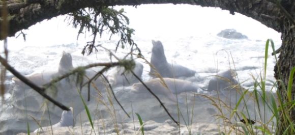
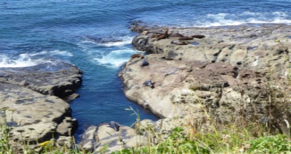
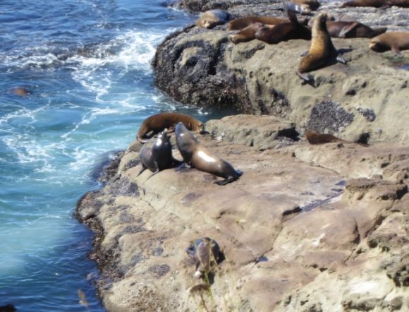
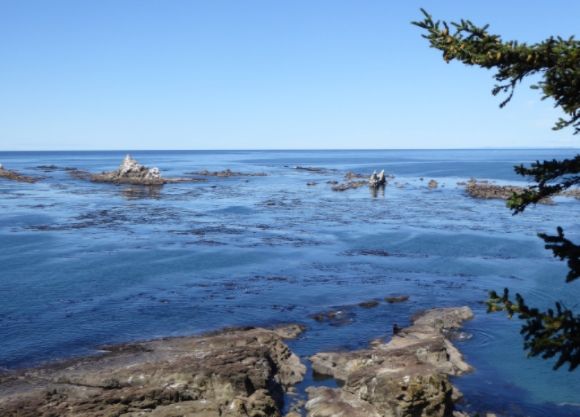
“Long used by Native Americans, Cape Arago was first sighted by Europeans during one of Sir Francis Drake's expeditions in the late 1500s. Modern visitors can scan the horizon for migrating whales and other marine mammals, as well as fishing boats and ships entering and leaving nearby Coos Bay.”
In the early twentieth century, Cape Arago was a part of the estate of Louis J. Simpson. The area was given to the State of Oregon as a park in 1932.
With regard to the idea that Sir Francis Drake landed at Cape Arago, the Park’s website says:
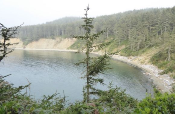
“In the 1970s, a theory was posed that English privateer and explorer Sir Francis Drake anchored in the south cove of Cape Arago in June 1579. Followers of this theory believe Drake mistook the dune area between the Coos and Siuslaw Rivers for low, snow-covered hills and sailed down the coast to California, having abandoned hope of discovering a northwest passage back to England. A monument to Drake was placed in the park in 1977.”
Cape Arago State Park is a day use area.
More Public Lands
Public Lands: Kite Surfing at South Beach State Park (Photo Diary)
Public Lands: The Views from Norton Gulch (Photo Diary)
Public Lands: Devils Lake State Park (Photo Diary)
Public Lands: Lincoln City Beach (Photo Diary)
Public Lands: Nye Beach, Oregon (Photo Diary)
Public Lands: Regatta Grounds Park (Photo Diary)
Public Lands: The Columbia Riverfront Trail (Photo Diary)
Glacier Park's Logan Pass (Photo Diary)
Yellowstone Park: West Thumb Geyser Basin (Photo Diary)


