This is a crosspost mix from this on La Vida Locavore.
(crossposted from Right of Assembly)
First, the Photos!
Some images from my place, taken between last winter and this July.
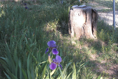
April iris at dawn

Jumping spider on porch
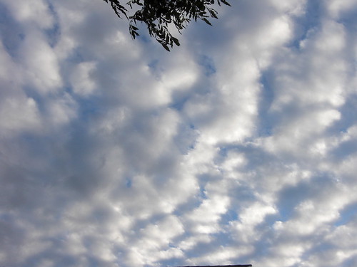
Summer sky

Volunteers
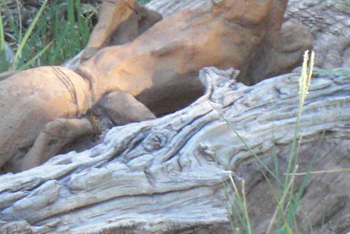
Concrete grasshopper and mesquite
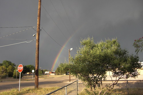
Rainbow in the 'hood.

Neighbor
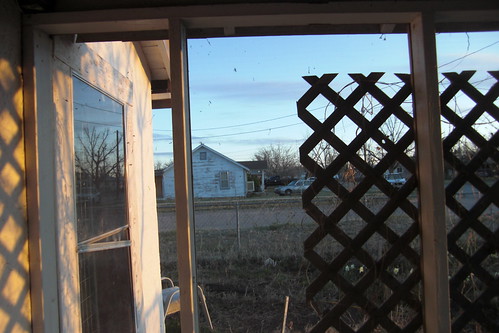
Porch at dawn
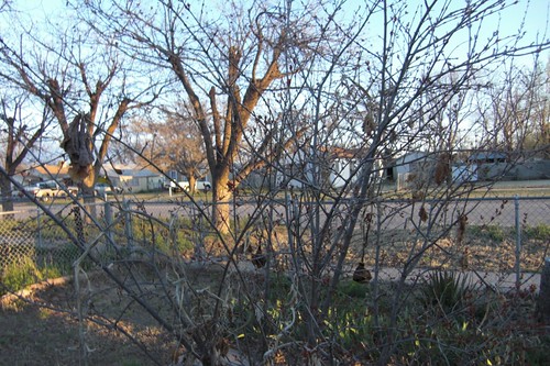
Winter
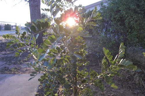
Sunrise through Sophora
~~~~~~~~~~~~~~~~~~~~~~~~~~~~~~~~~~~~~~~~~~~~~~~~
Carlsbad, New Mexico; has a lot of potential for being a really nice place, peeling paint, rampant random vegetative growth and all.
Our biggest risk for demolition is not urban sprawl, though. More like the oil and gas corporations coming around with their mineral rights to the land our homes are on, and mining us out of them.
They can do that. I've read my deed. (Of course I've read my deed; I read everything that's in front of me.)
Very few people around here own the mineral rights to the land their homes are on.
Several years back, they were mining a few miles south of where I live, where I took these photos - I think it was just into the unincorporated area. They lost control of the well and about 700 people were evacuated for three days. They did not, we will note, get to take their livestock.
Fortunately, the oil and gas corporation people got control of the well before it caught fire, or otherwise exploded.
Just to put things into perspective, the incorporated area (Carlsbad proper) is about 16 square miles; i.e. I can bicycle across it in about half an hour.
I could go on and on about the craziness down here. Like the old I&W brine well that's right at the forks of Interstates 180 and 285; that is quite possibly going to suddenly collapse one of these days, taking down the 18 wheeler straw that broke the camel's back, the feed store in the adjacent lot, possibly the nearby elementary school, and various and sundry residences. And maybe even the Wal-mart.
Lest that sound overly catastrophic-minded of me, let's not forget that this is a high-karst region, and that this particular locale is not too far from the tail end of an especially high-karst arc (the Guadalupe Ridge) that includes some of the most extensive cave formations in the country (including Carlsbad Cavern). Dark Canyon Draw is what you get next, and if one extrapolates geographically; it's in the mode.
And no, I'm not a geologist, but I know geologists, and cavers too; and Dark Canyon Draw is considered of great interest to such. And it runs right into 285; in fact 285 bridges over it.
Back at the Y, about a mile south of the Draw on 285; sensors have been installed to keep the travelers safe from any potential brine well collapse. Oh, good.
They are hoping people will forget about this.
It was a BIG story down here for awhile, and then everybody forgot about it.
Microcosm of America.
