This diary is about my third trip to Tiputini Biodiversity Station(another link) in the rainforest of Amazonian Ecuador. In future diaries I'll talk about my time at Tiputini and show you pictures of the amazing things we saw there. This diary is about the process of getting in and getting back out again. It is an interesting if long trip through an exceptional part of the world that is suffering under the weight of a changing world.
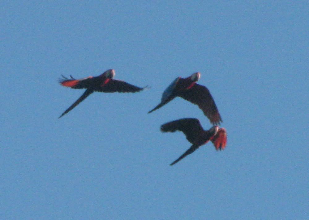
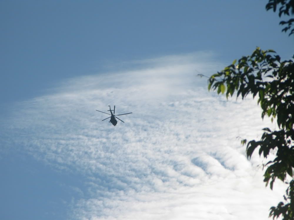
Different kinds of flight over the Rio Tiputini
The station is located on the Rio Tiputini in Orellana, a province in eastern Ecuador. Yasuni National Park is located immediately across the river. Lands belonging to the Huaoroni indigenous people are also located near the station.
This region is famous for its extremely high biodiversity and, unfortunately, even more famous for its environmental and social problems caused by oil exploration.
Previous diaries on issues related to oil exploration in Amazonian Ecuador written by other kossacks can be found here, here, here, and here. In a nutshell, Amazonian Ecuador is unfortunate to have oil reserves lying beneath the rainforest. Oil is Ecuador's major export (although its share of the global oil market is miniscule). Drilling further north in Ecuador resulted in conflicts and kidnappings, associated mainly with the Colombian border region.
Oil exploration has gradually moved further south and east. The oil exploration results in habitat degradation and contamination. It also seriously disrupts the lives and communities of the indigenous peoples of the area, many of whom had very limited contact with the outside world until fairly recently.
Yasuni National Park is the premier protected area in the Ecuadorian Amazon. It doesn't really fit the North American idea of a National Park in that it has virtually no infrastructure and the only way to visit it is with local guides. Currently there is strong pressure to drill for oil in the Yasuni. The Ecuadorian government has proposed the Yasuni ITT initiative (official government site in Spanish). The ITT is named for three rivers that drain the area under consideration (one of the Ts is for Tiputini). The proposal is that wealthier nations and other interested parties essentially buy the oil (half market price) for the purposes of keeping it in the ground.
This proposal was made by the president in 2007 and was widely hailed as a potential model for future conservation and climate change endeavors. Unfortunately the initiative has not been able to attract the necessary funds and Germany's withdrawal puts its future in grave doubt.
That's enough background. Let's go ahead and travel (vicariously) to Tiputini.
The journey has four stages. The first stage is to travel from Quito to the city of Puerto Francisco de Orellana, known by everyone as Coca. This can be done on a short commercial flight or a day long bus ride. No photos of that part.
Coca is largely an oil town but it also serves as the entry point for most tourism in northeastern Ecuador. Coca is located on the Rio Napo, the largest tributary of the Amazon in Ecuador. Tourists get off flights from Quito and are whisked off to the riverfront and put on canoes* to travel downstream to tourist lodges. I haven't visited any of these places but have been told by those who have that the larger birds and mammals are all gone from the forests along the Napo.
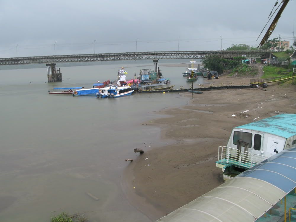
The Coca waterfront with some canoes. Note the bridge spanning the river (a tributary not the Napo itself).
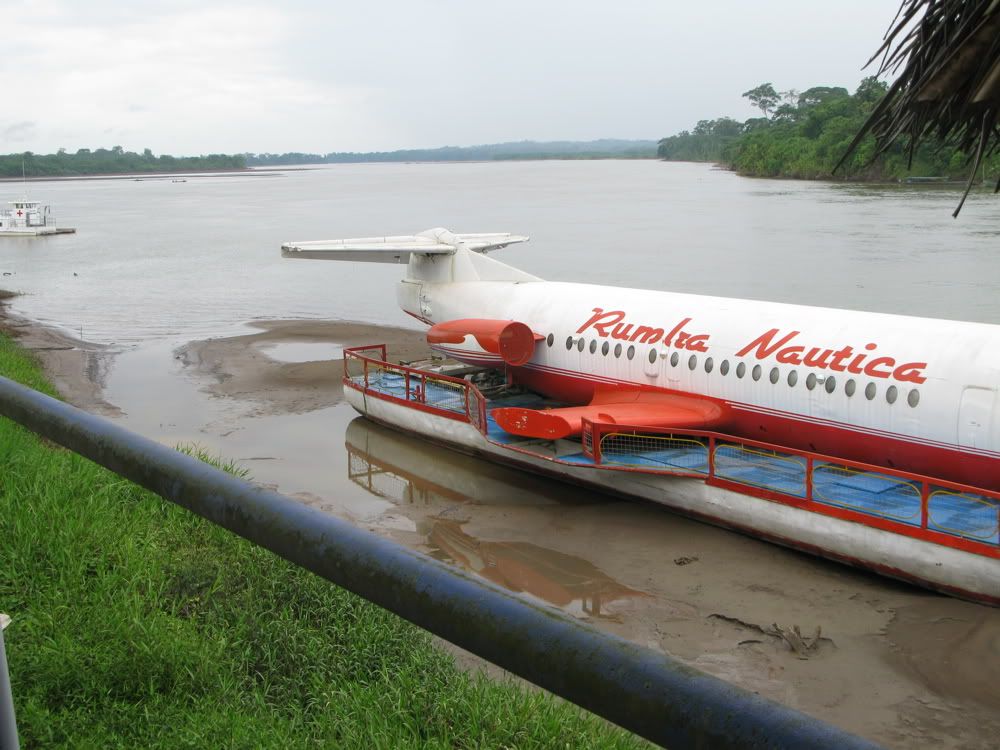
Some interesting transport. The Napo river is in the background.
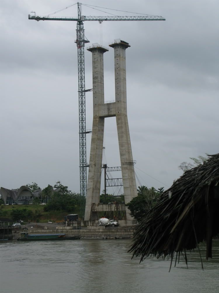
A major new bridge is under construction. I'm guessing it will allow for transport of heavier equipment than is currently possible but I don't really know.
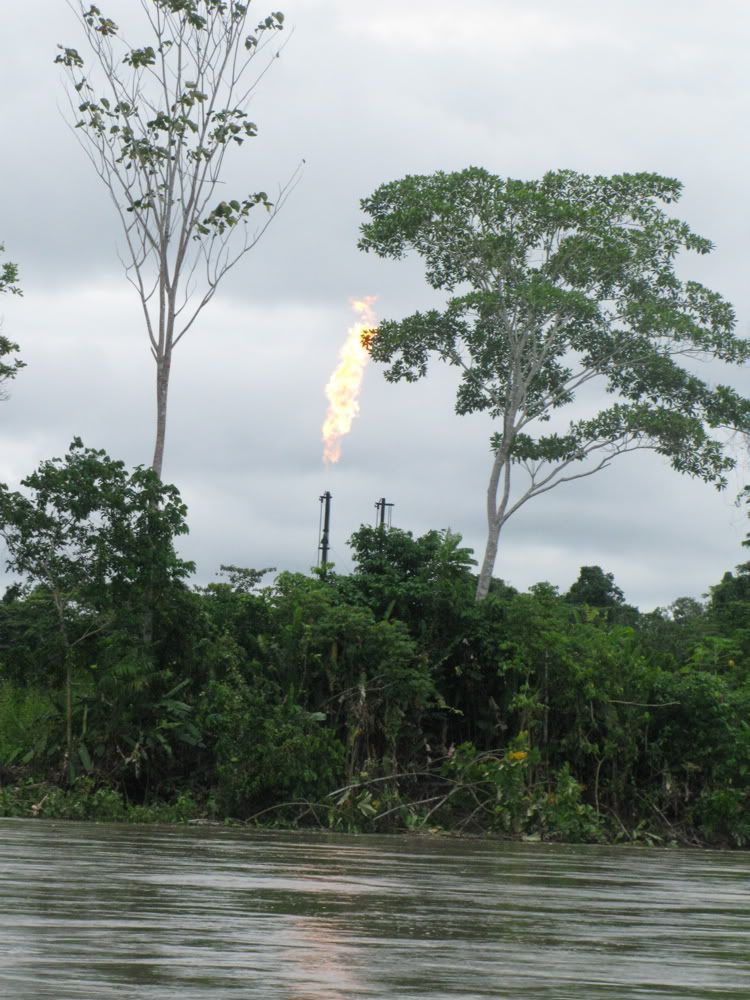
The second leg of our trip is to travel down the Napo as far as the village of Pompeya. The Napo is a broad, shallow river and we are usually not that close to shore so there isn't a lot to see on this leg either. Most human activity is screened by trees along the river and the boat is seldom close to short in any event. It is much more relaxing than the plane trip and lunch is provided.
The one striking sight on this part of the trip is this natural gas flare which is visible from a mile away. I don't know anything about it.
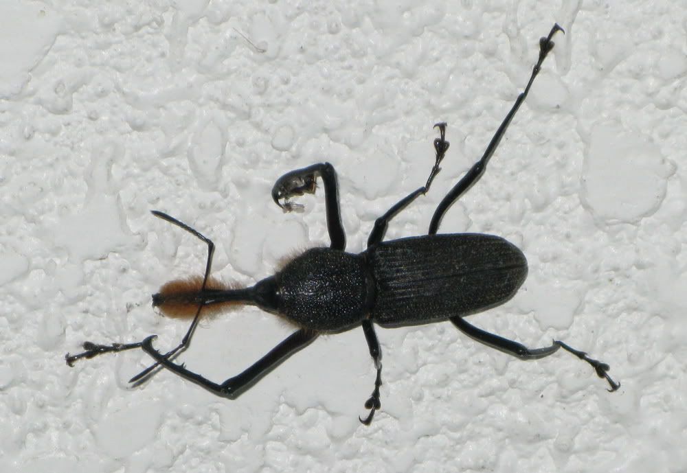
At Pompeya we disembarked and go through a oil company security checkpoint. It's much like going through airport security (pre 9/11) except that they've been provided with a list in advance and they check us off as passing through, both going in and coming out. A couple of soldiers are usually standing around looking very bored.
From here until you reach the Rio Tiputini you aren't supposed to take any photographs. However no one tells you this at the time, which seems a bit odd. In fact no one tells you this at all - it is just on the printed list of station rules.
I violated this rule but not in spirit. I didn't take any pictures of anything that could be remotely considered sensitive. There don't appear any major facilities along the main road in any event. But I certainly don't want to jeopardize the continued station use of the road.
Here's my only picture at the check point - a really cool weevil that was on the ceiling next to the rest room.
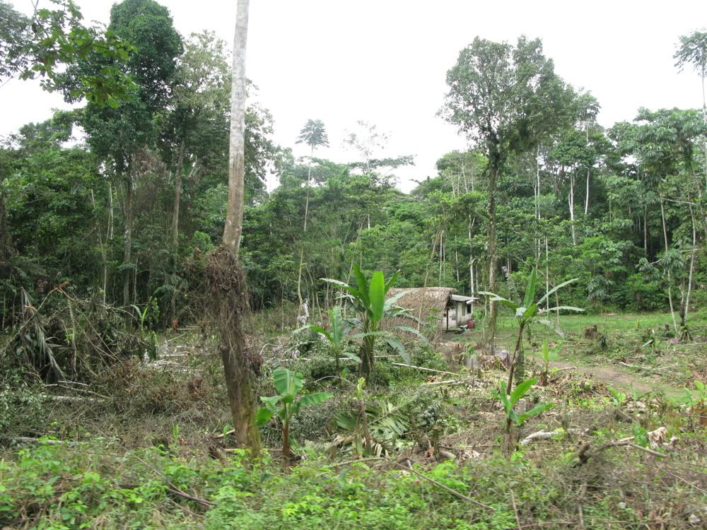
The third leg is on a gravel road built through the forest for the purposes of oil exploration. It is well maintained. The drive takes about 90 minutes in flat bed truck which has been modified into a sort of bus. Visibility is limited and the seats aren't very comfortable.
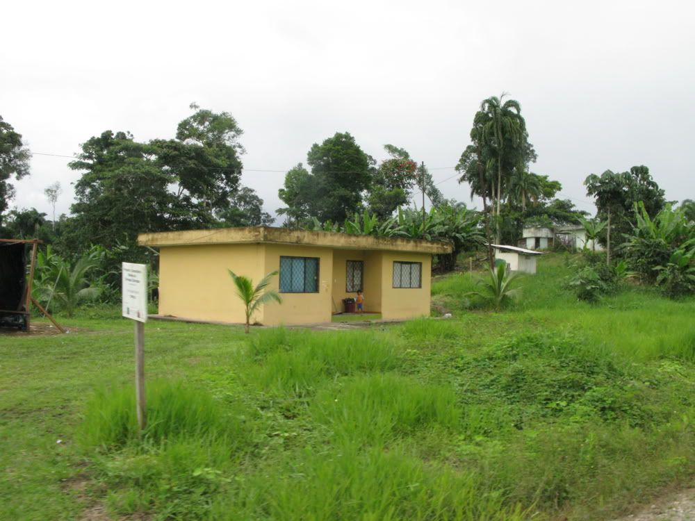
As the road gets further south signs of settlement (not oil facilities) begin to appear. According to what I've read the more northerly of these are Kichwa
The road crosses the Rio Tiputini (for the first time) the settlements are now those of the Huaoroni people.
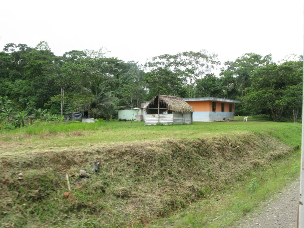
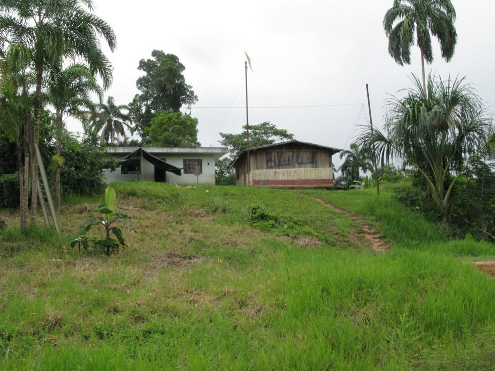
A common phenomenon associated with road building in the tropics is the movement of people into the forest. In the case of the Huaoroni the people were already there but the road has allowed buildings that would not otherwise be possible.
During these drives some of the Huaoroni can be seen carrying supplies down the road or working to keep the roadsides from being overgrown. It is amazing and sad to think how completely their world has been overthrown in such a short period.
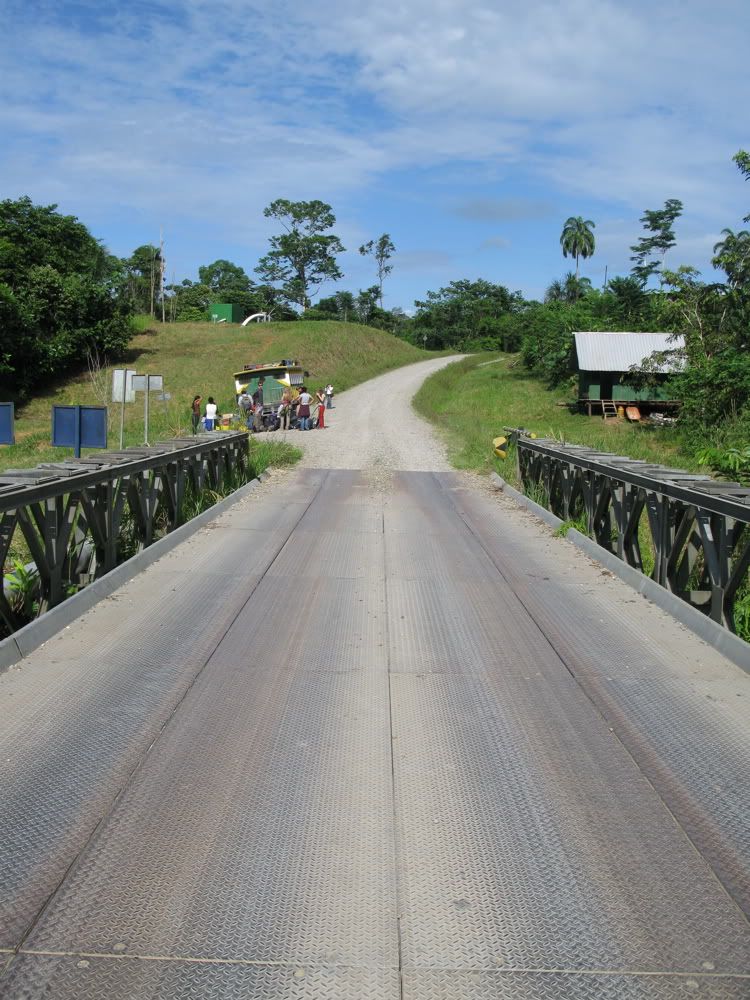
Eventually we reach the second bridge over the Tiputini and this leg of the journey ends.

Looking back at the road
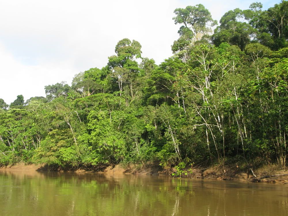
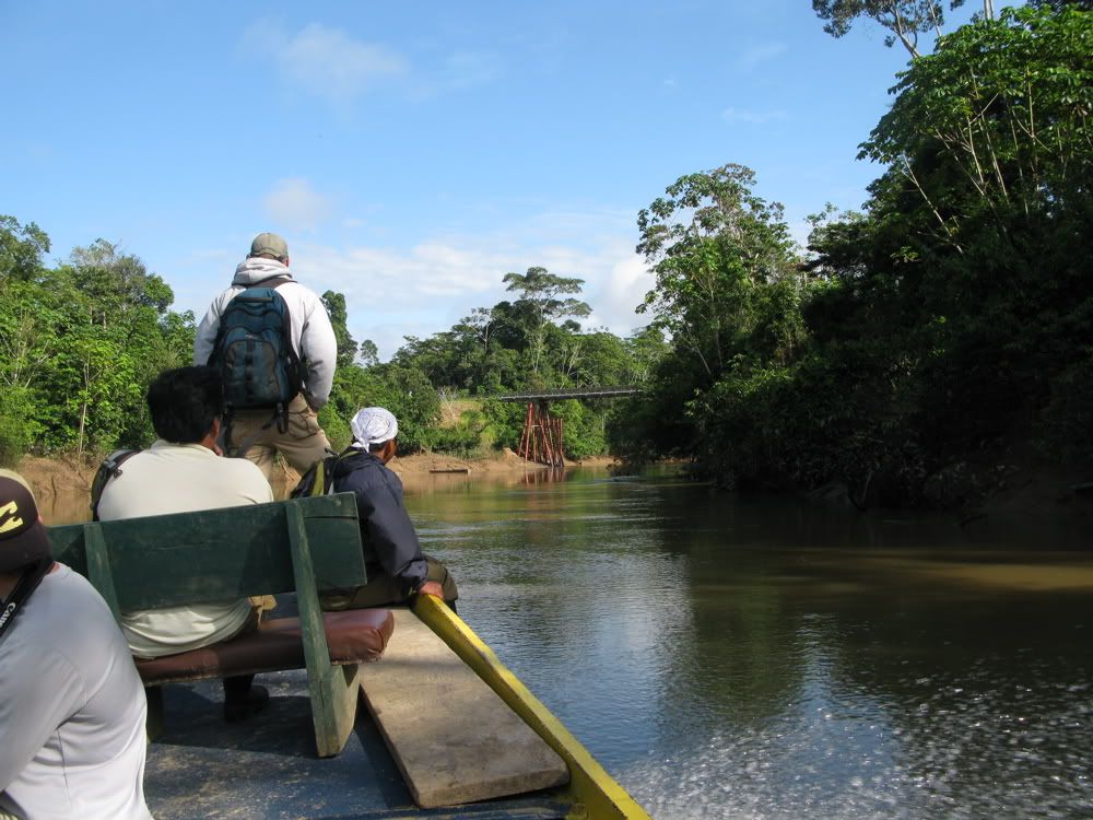
The last leg is a two plus hour boat trip downstream on the Rio Tiputini. Unlike the Napo, the Tiputini is a narrow river and the forest is always close at hand.
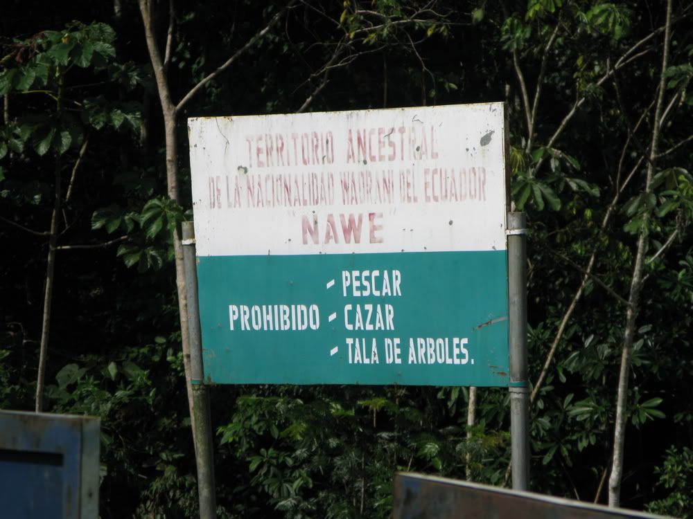
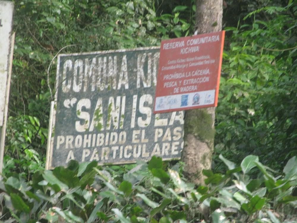
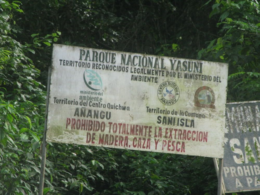
Until the station is reached the only sign of human activity are these signs.
When we left the station the endless series of bends in the river makes the appearance of the bridge particularly striking.
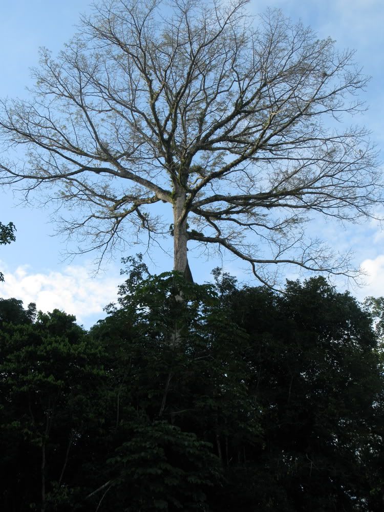
Instead of bridges and gas flares this leg is marked by giants rising out of the forest.
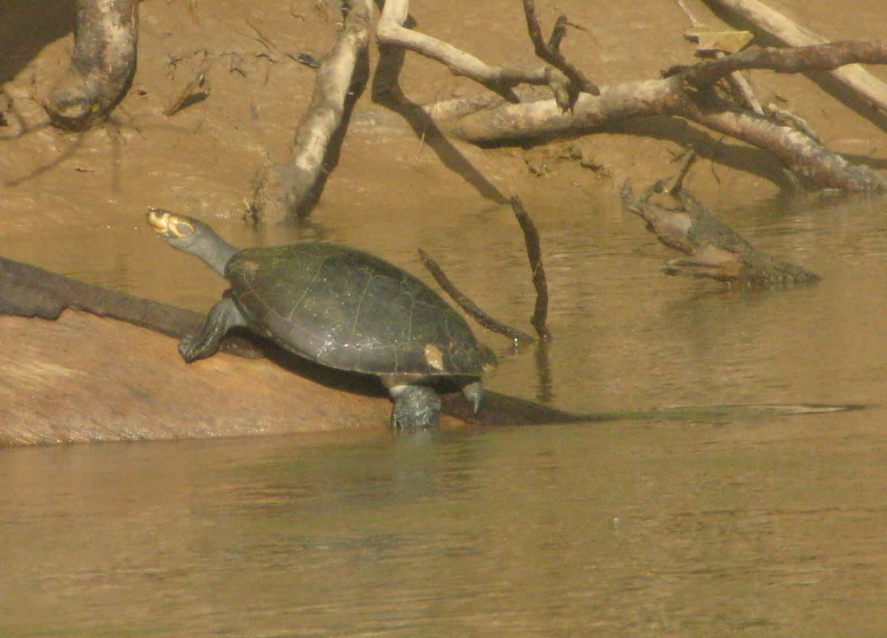
And turtles on logs.
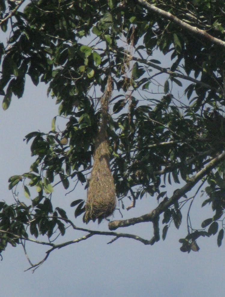
And the nest of Oropendulas (sort of like giant Orioles) hanging from the trees
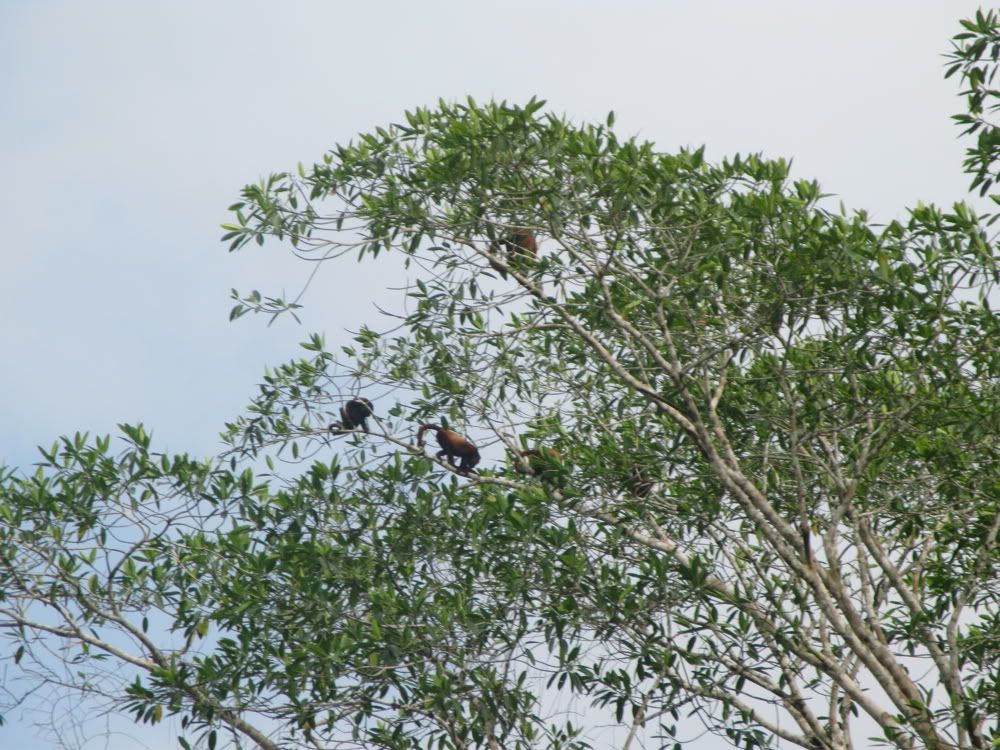
And from time to time monkeys like these Red Howlers.
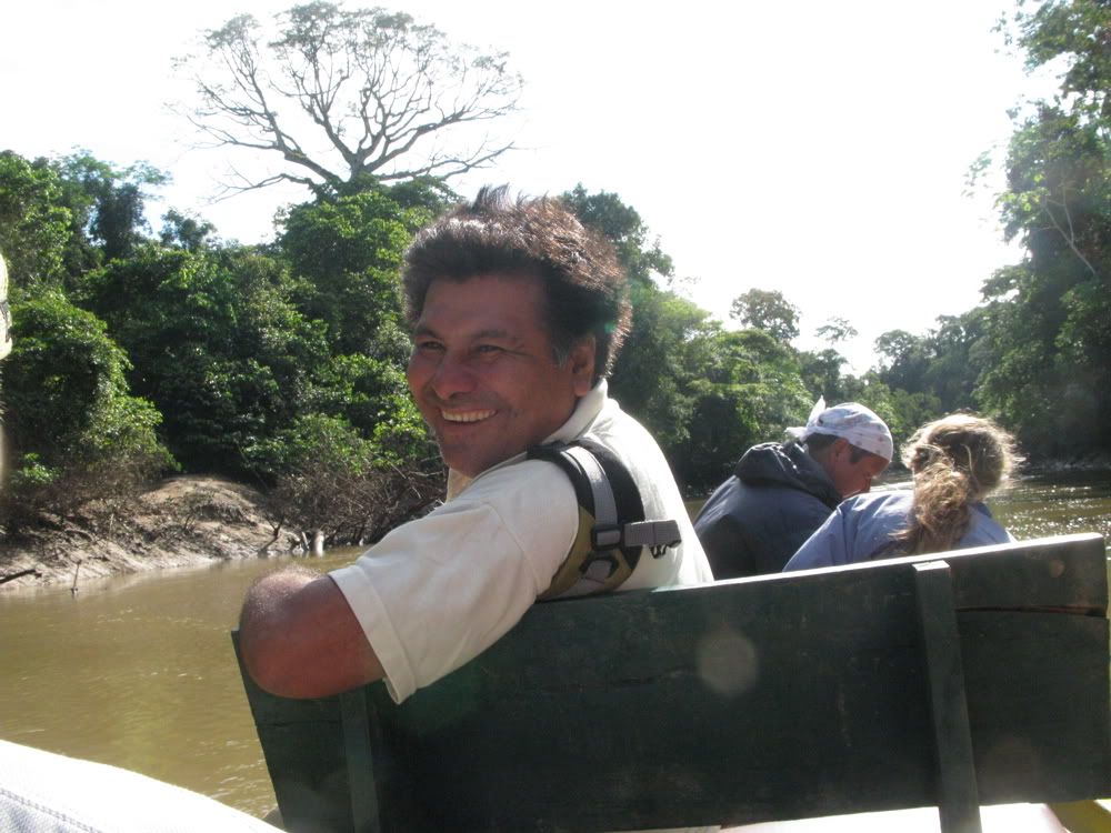
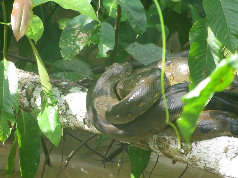
One of the guides sits at the front during this leg, scanning the forest. This is Ramiro, described with extraordinary accuracy by a volunteer at the station as 'the dude for spotting things'. He does possess an astonishing combination of noticing small details and great visual acuity.
This year he spotted this small anaconda tucked back in flooded vegetation.
Somewhere between 8 and 12 hours from your departure you reach the other end. At one end is Quito/Coca, at the other almost untouched forest. In between there is oil exploration. And the upended world of the Huaoroni. It is a journey bridging several worlds.
After two weeks at Tiputini the forest is the real world. It is a world much older than ours which is almost vanishingly new. Yet the ancient world is vanishing under a triple threat. Climate change brings drought to much of the Amazon. The Yasuni and surrounding area may once again be a moist refugium like it was during the last ice age. However the environmental damage of oil exploration may negate the advantages of a relatively benign climate. And even if the ITT is successful the road and the expanding populations indigenous peoples place strong pressures on the forest. Subsistence hunting is reaching unsustainable levels in many places. Fortunately some communities are attempting to develop management plans that will allow them to continue hunting without driving populations to extinction.
On a personal note I saw more trash in the river and more planes and helicopters flying overhead than before. By the standards of most people's experience these were rare events (3 aircraft in two weeks, maybe five pieces of human debris in the river in the same time period) but Tiputini doesn't seem quite as pristine as it did when I first visited in 2004. During our stay this July various people staying at the station saw nine primate species, river dolphins, tapir, peccaries, a paca, a kinkajou, an ocelot, and a black jaguar (I saw seven of the primates, a dolphin, the paca, and the kinkajou). So Tiputini is a long way from a parking lot. But how long it will remain a 'paradise' it remains to be seen.
