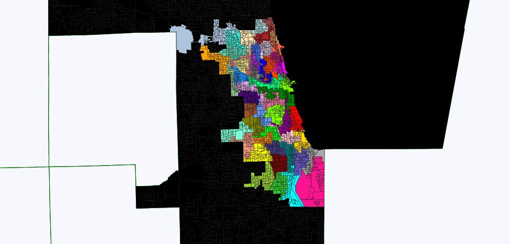
Sorry for the short diary, but I think this is pretty important. Props to jeffmd for the map of the current wards. There were a few things that needed fixing, however, so I figured I could make it better. I made it a county council map, as all but 230 citizens of Chicago live in Cook Co. I put all of the non-Chicago territory into one solid black colored district. There are also 96 districts, which I did to make it easier to track the population variance. So just use the first 50, and the target will be -199, much easier to visualize than hundreds of thousands. This is all in the Google Doc below. Happy mapping!
Link to DRF file
Also, here's a template without the current wards filled in, just the black filled in outside the city:
Link to DRF file
Here's what it looks like:
And a link to the Chicago redistricting contest: DK Elections Chicago Ward remapping contest
