The most common archaeological field monument in Ireland is the ringfort: there are about 45,000 ringforts scattered across Ireland. While ringforts are basically enclosed homesteads which are associated with farming during the Early Medieval Period (5th to 10th centuries CE), there are some which date earlier than this. Ringforts are found in areas with good-quality soils.
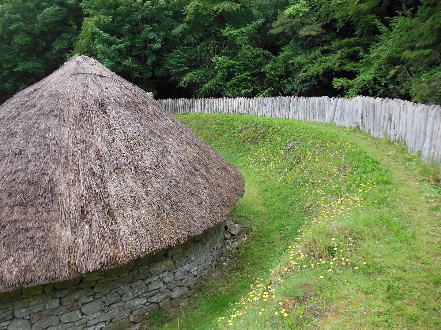
The enclosure is the defining feature of the ringfort. Many ringforts have an earthen enclosure which consists of an area enclosed by a circular, oval, or pear-shaped bank with an outer ditch. The diameter of the enclosure ranges from as small as 15 meters (50 feet) to as large as 35 meters (115 feet).
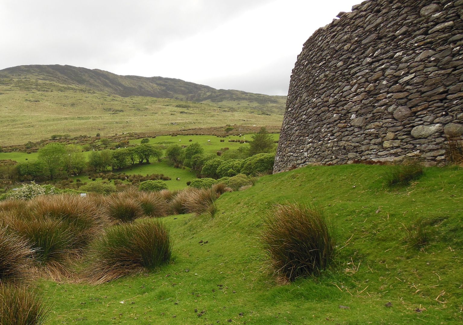
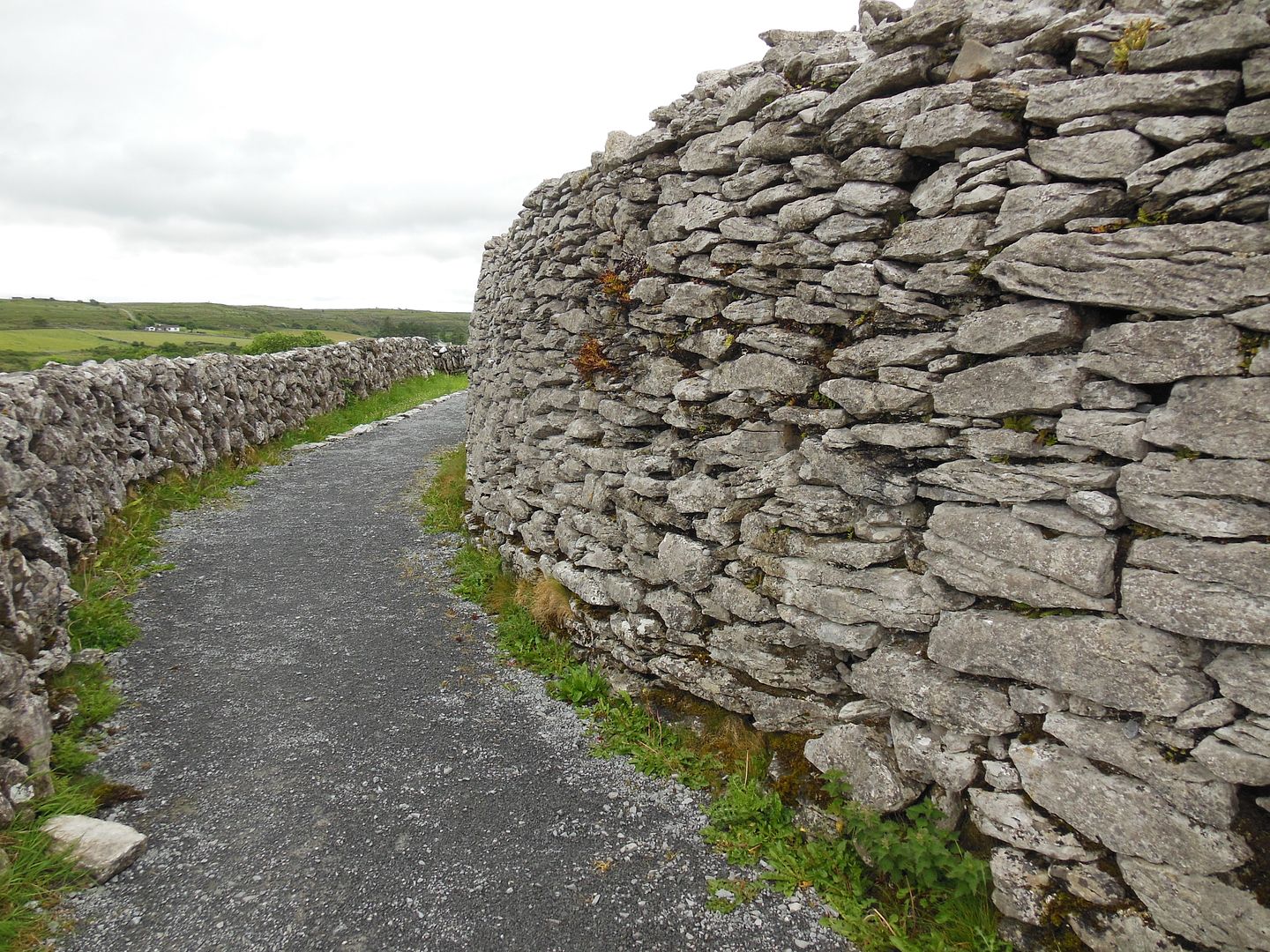
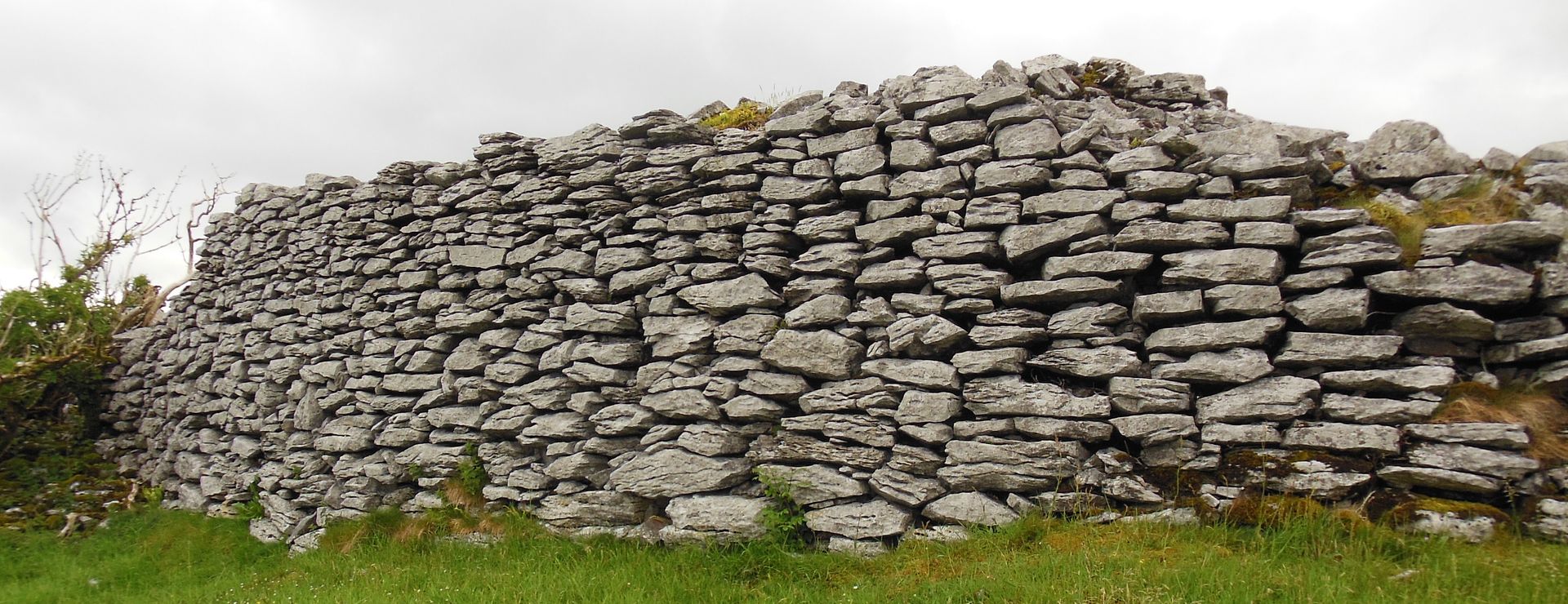
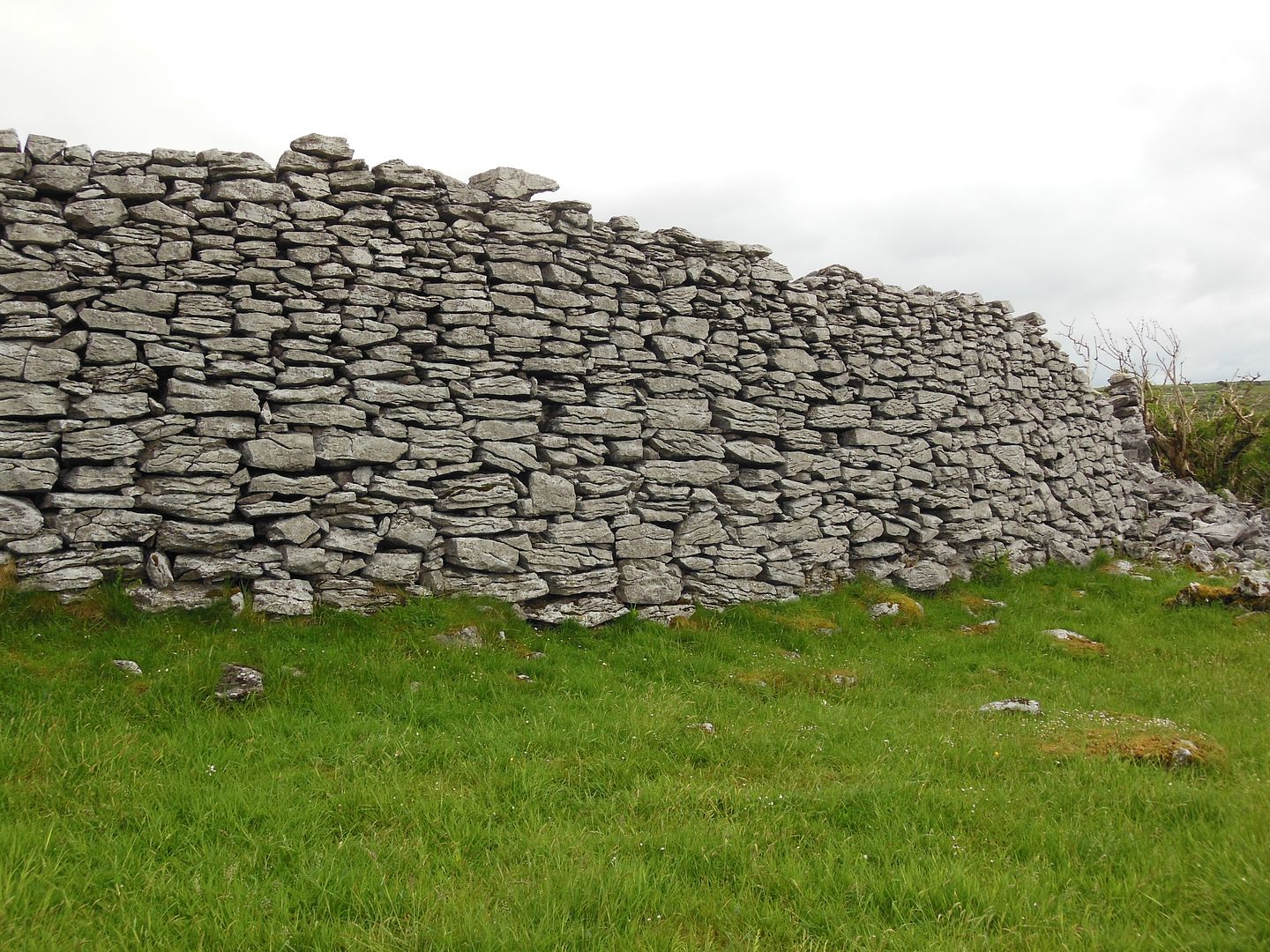
The stone-walled ringforts or cashels are similar to the earthen raths except that they are enclosed by drystone walls instead of earthen banks. The cashels seldom have ditches.
While these structures are called ringforts, they are not forts in the military sense. While the ringforts did provide some protection for its inhabitants and for their cattle and crops in the surrounding countryside, the primary purpose of the structures was to impress other people. This was an outward expression of status in keeping with the hierarchical structure of the early medieval Irish society.
The ringfort was essentially a working farm. Within the enclosure were houses as well as livestock enclosures. The larger ringforts probably contained more than one family and were most likely the residences of wealthy people who might be considered nobles or kings.
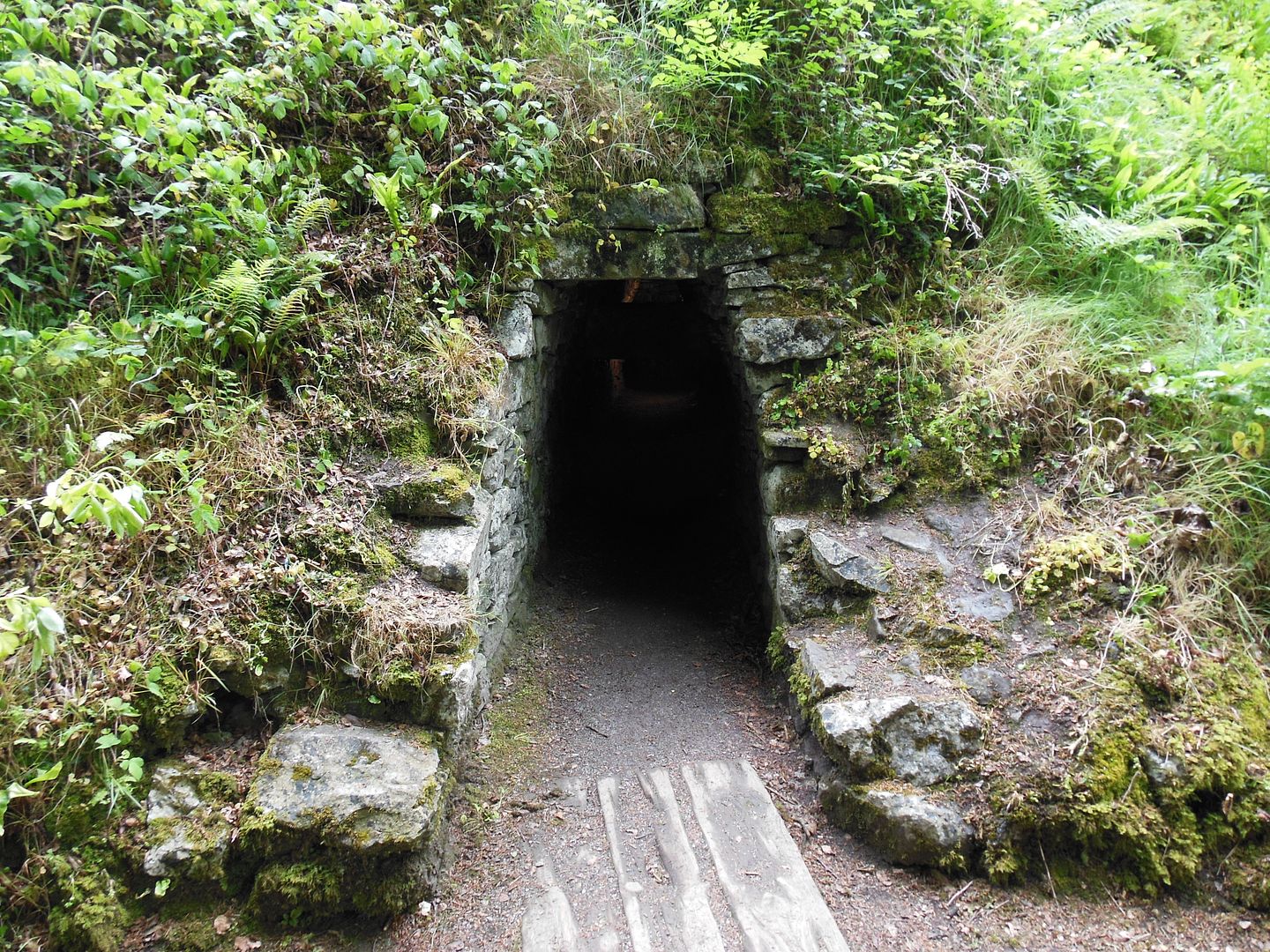
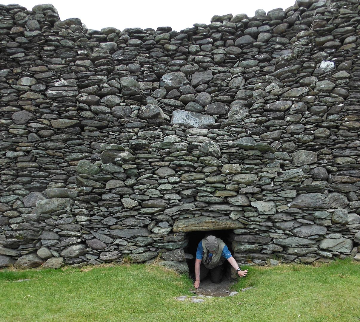
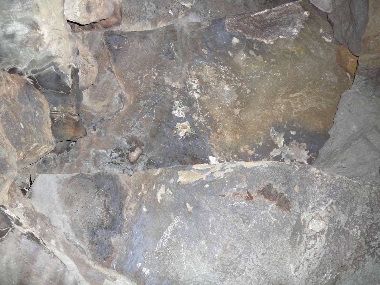
One of the features found in some of the ringforts is the souterrain—an underground or semi-subterranean passage or chamber. In some instances there are several interlocking passages which would have required considerable engineering skill to construct. The primary function of the souterrain was to provide a temporary hiding place which could be used if the settlement was attacked. Some souterrains have sally-ports beyond the ring enclosure which provided both a means of escape and of counter-attack. The souterrains were also used for storage and they were a good place to hide valuables.
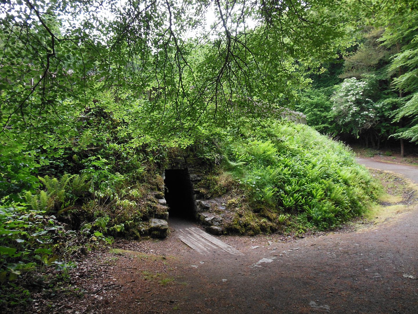
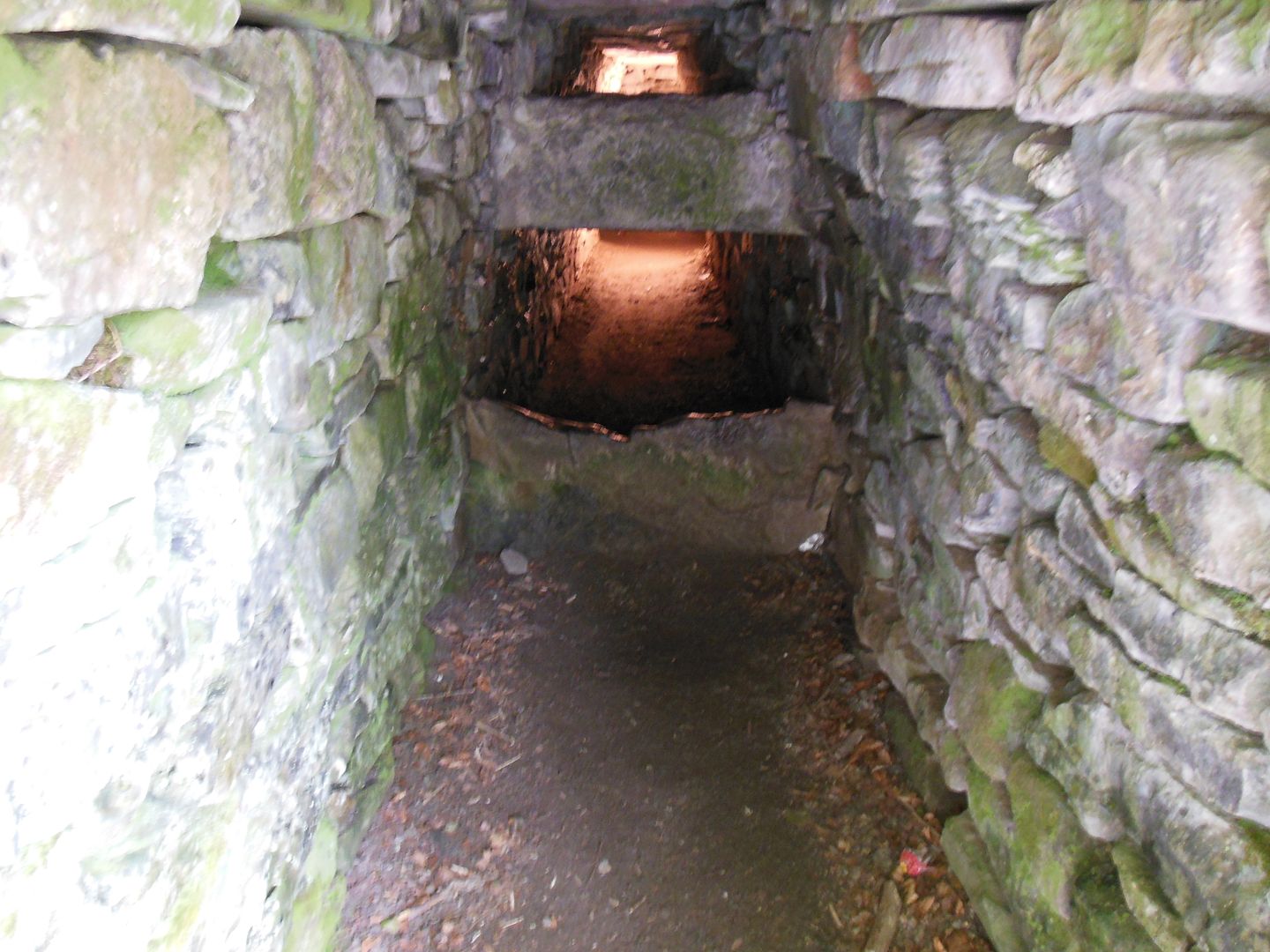
Shown above is the souterrain sally-port at the re-created ringfort at Craggaunowen. The strategically placed stone barriers make entry difficult.
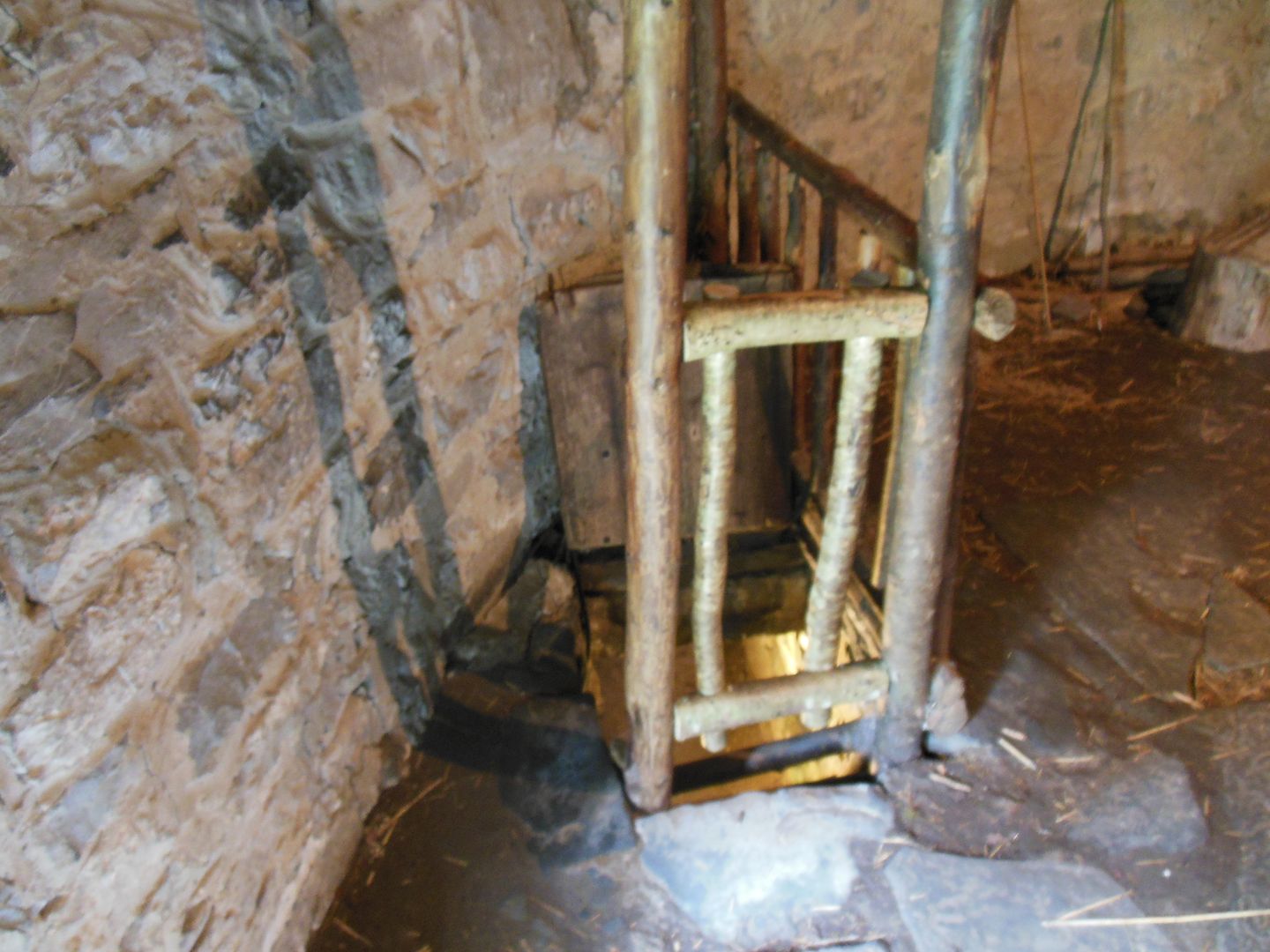
Shown above is the entrance to the souterrain in one of the circular houses at Craggaunowen. The entrance can be easily concealed by dropping the trap door.
Steague Fort:
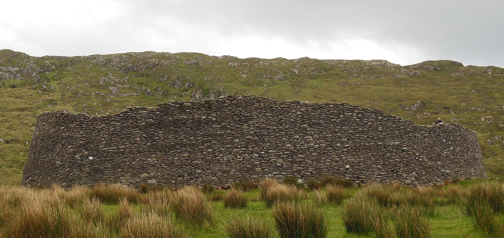
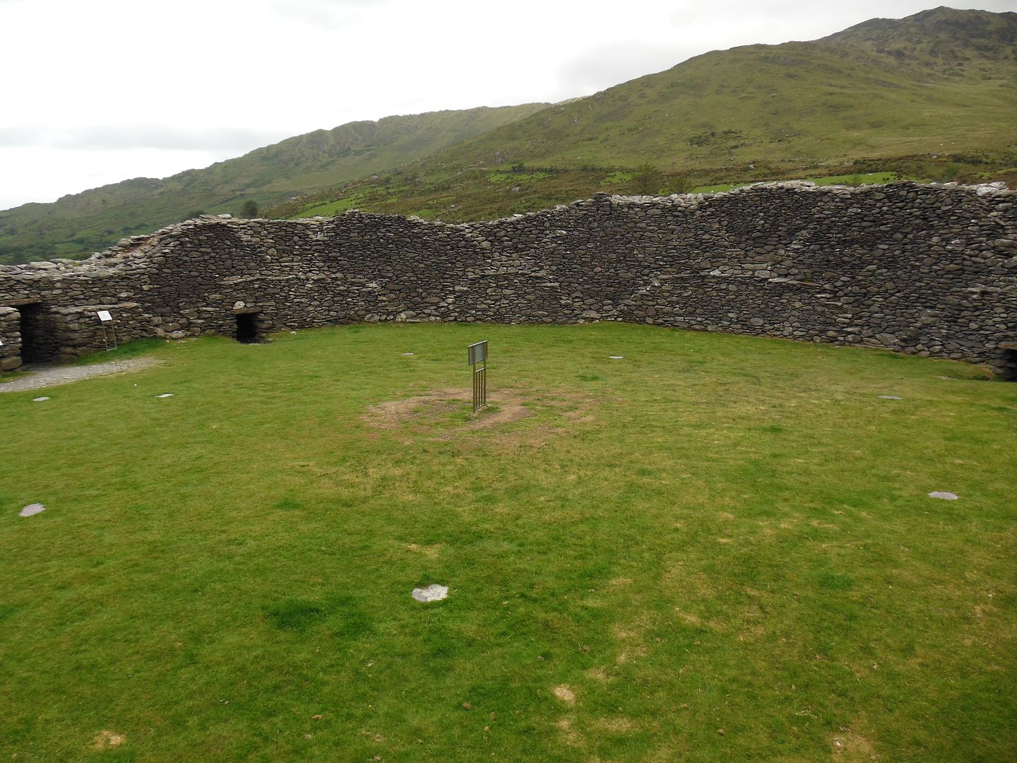
Steague Fort is one of the largest stone forts in Ireland and dates to several centuries prior to Christianity. It was the home of a very wealthy landowner or chieftain who felt a great need for security. The fort would have been full of houses, out-buildings, and possibly tents and temporary structures.
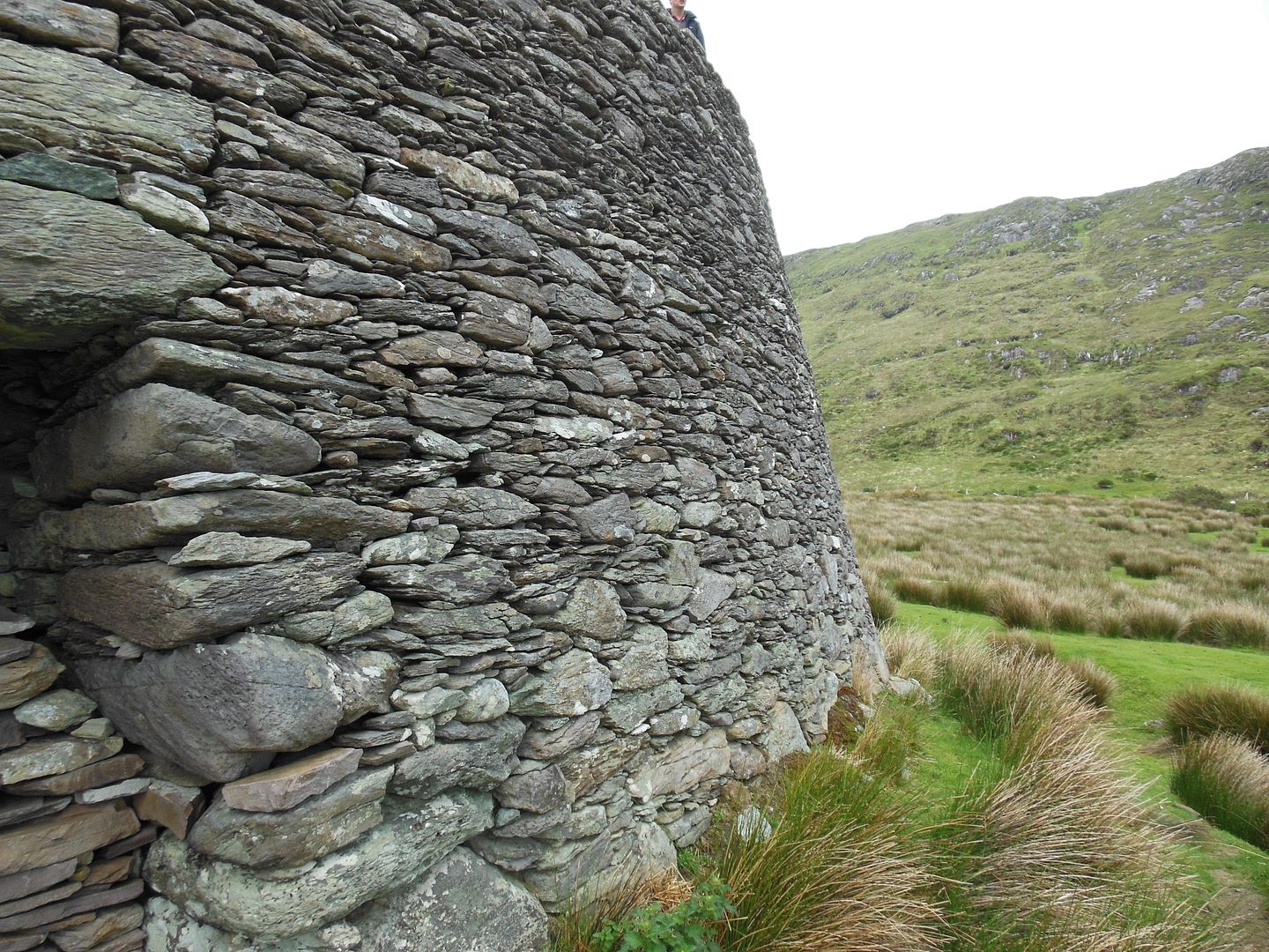
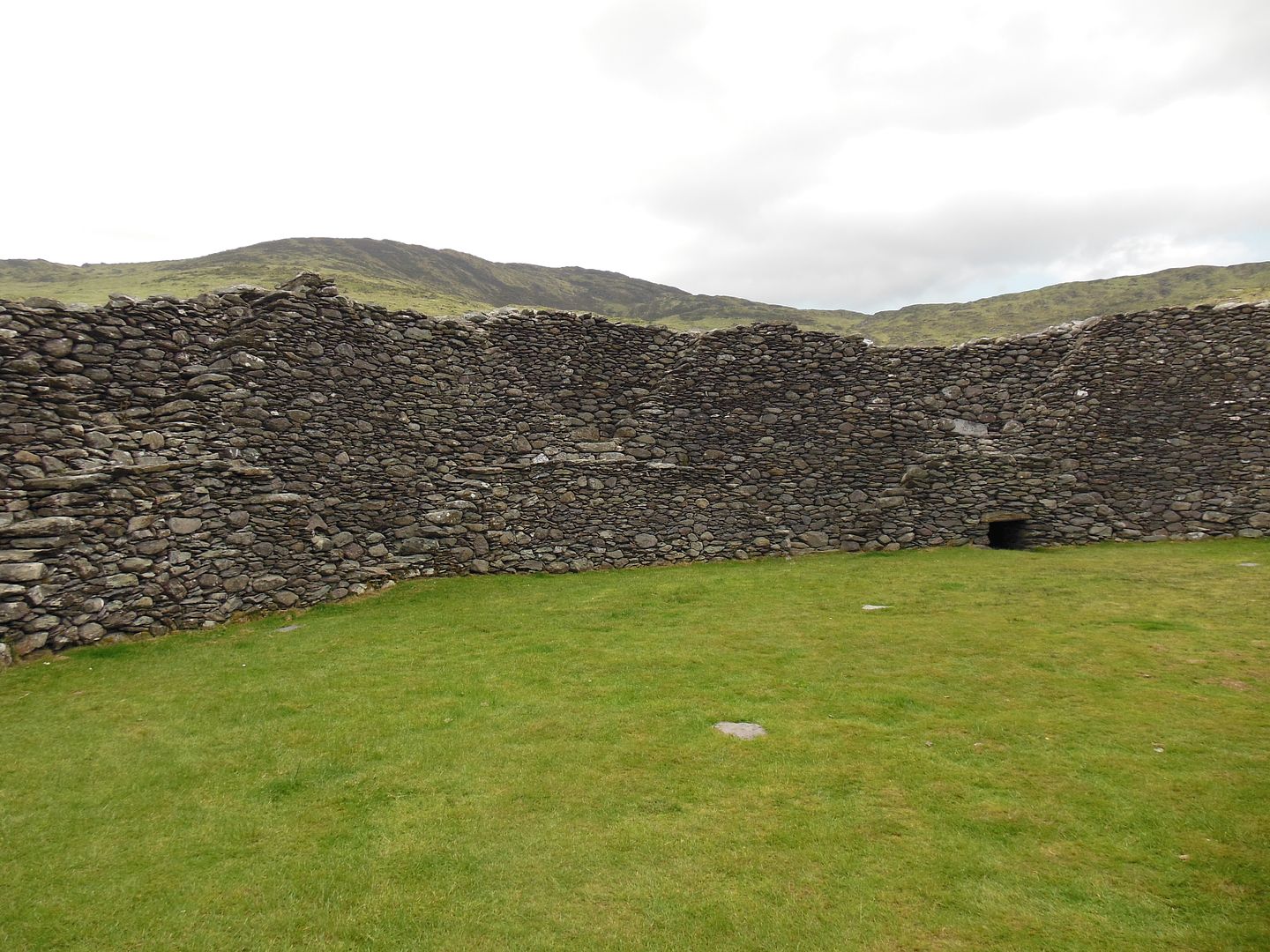
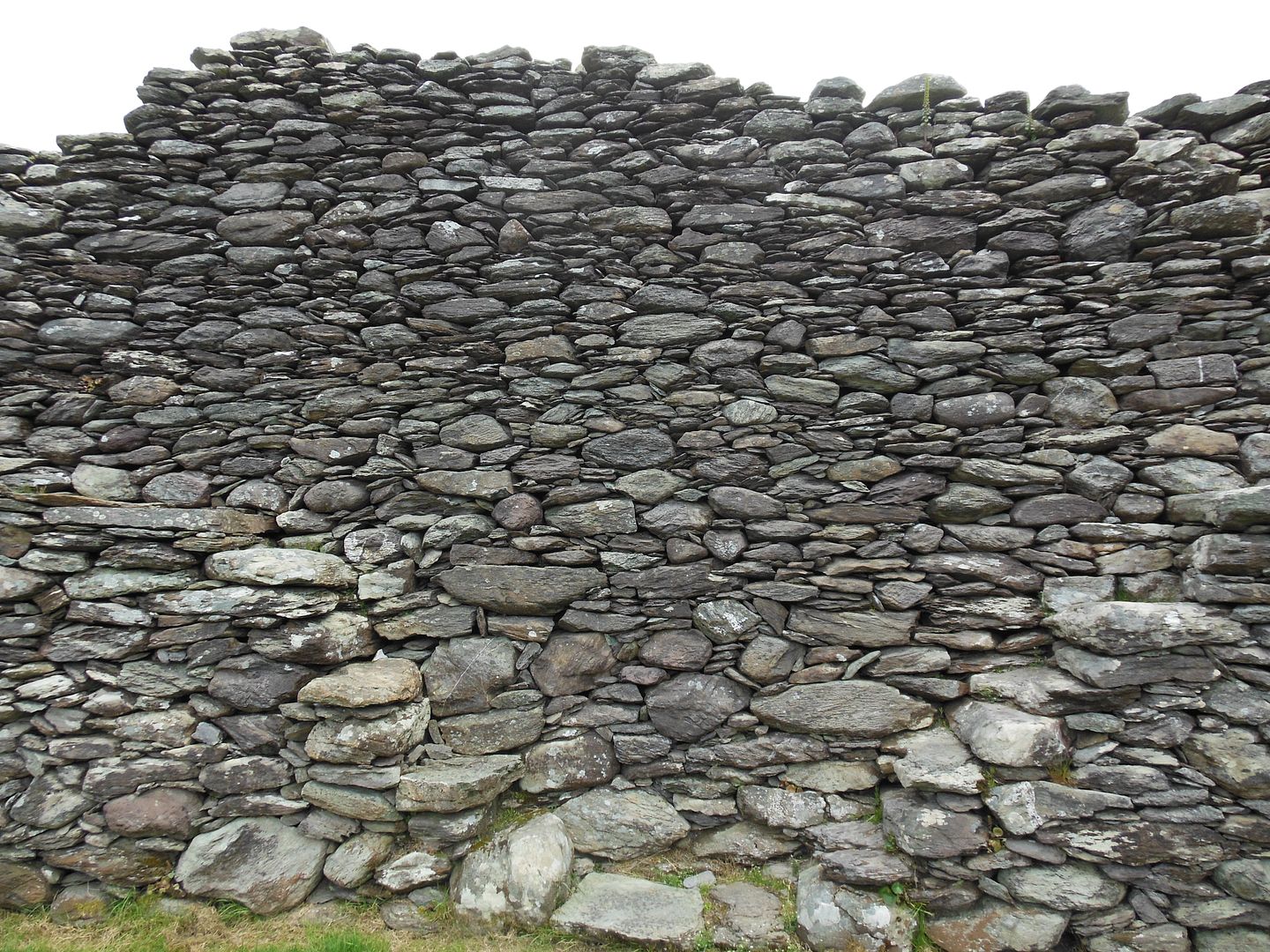
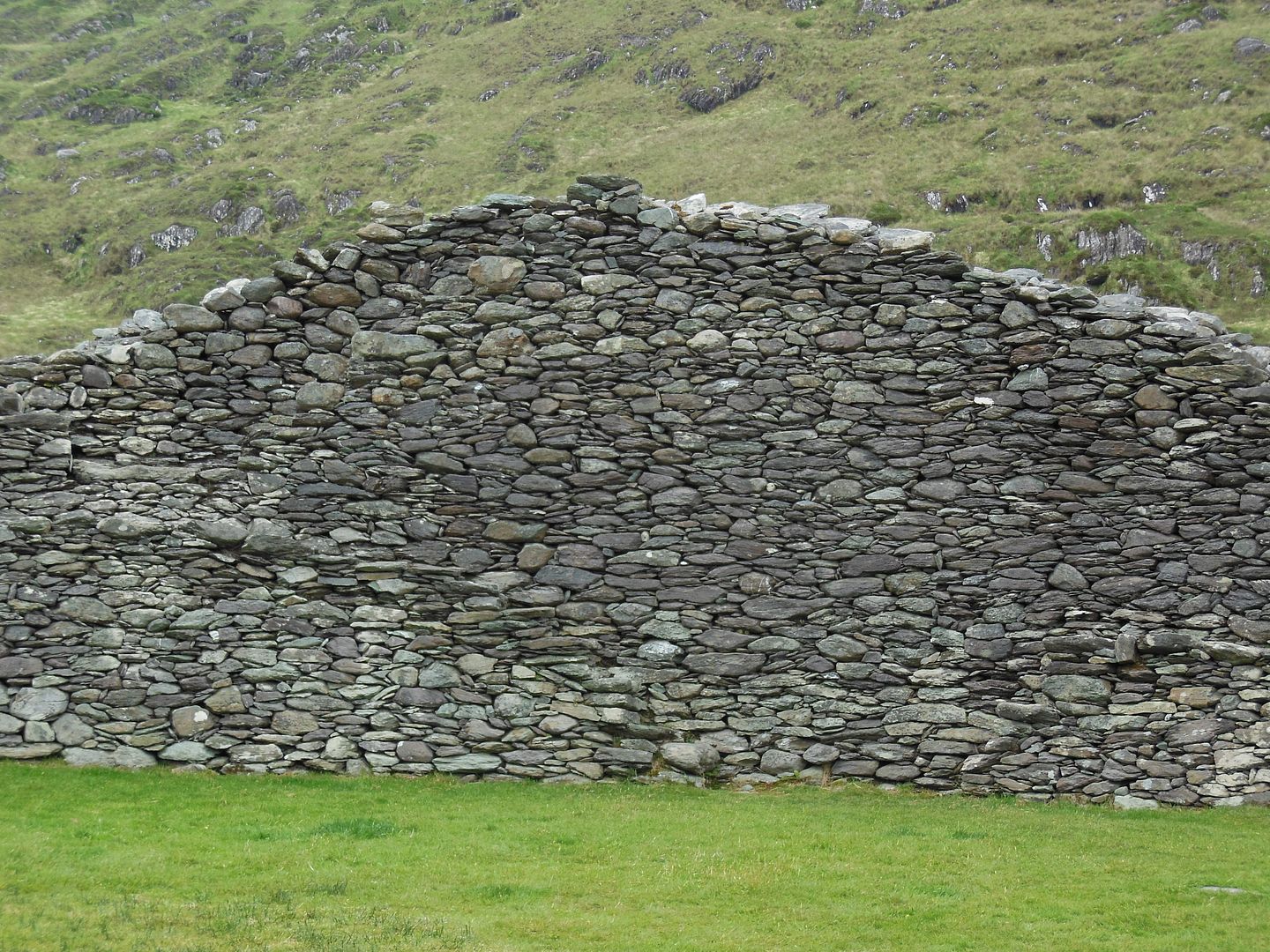
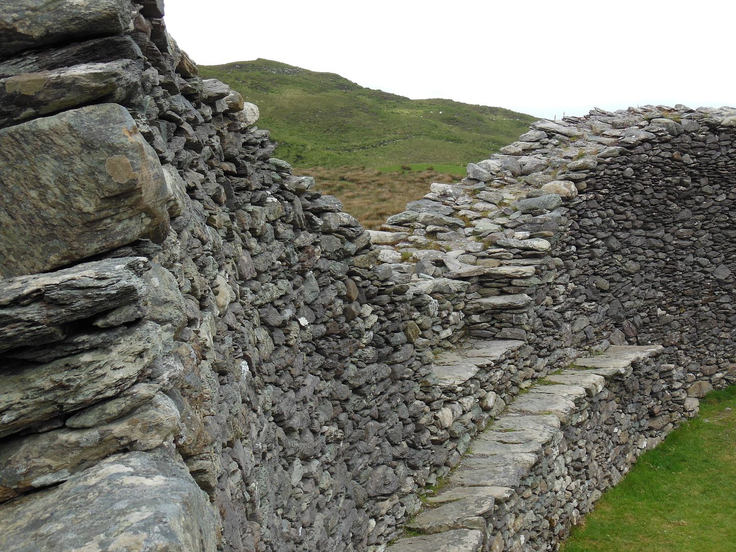
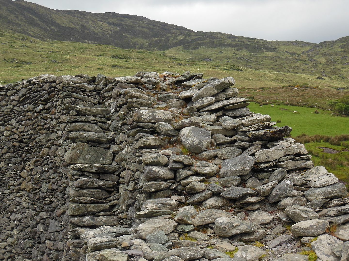
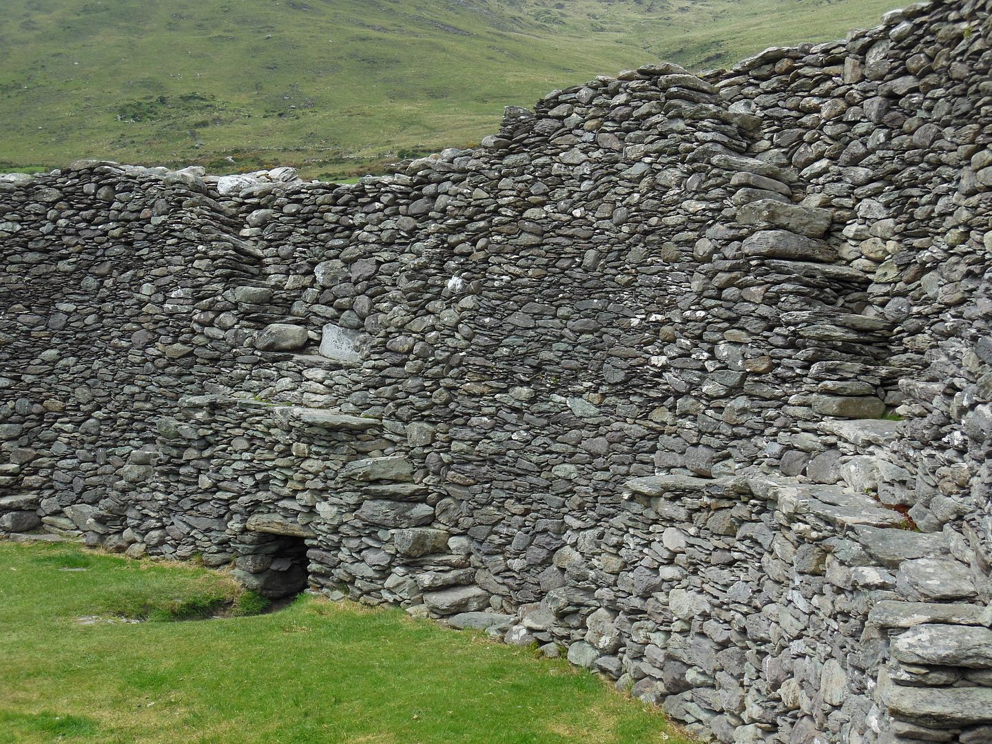
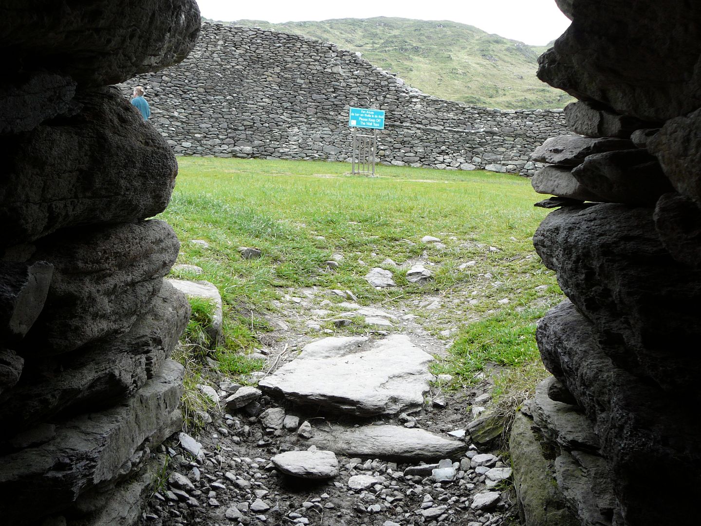
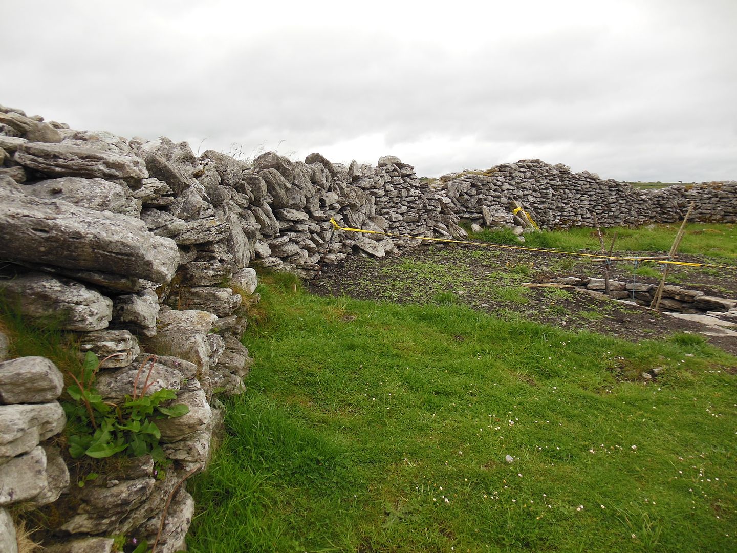
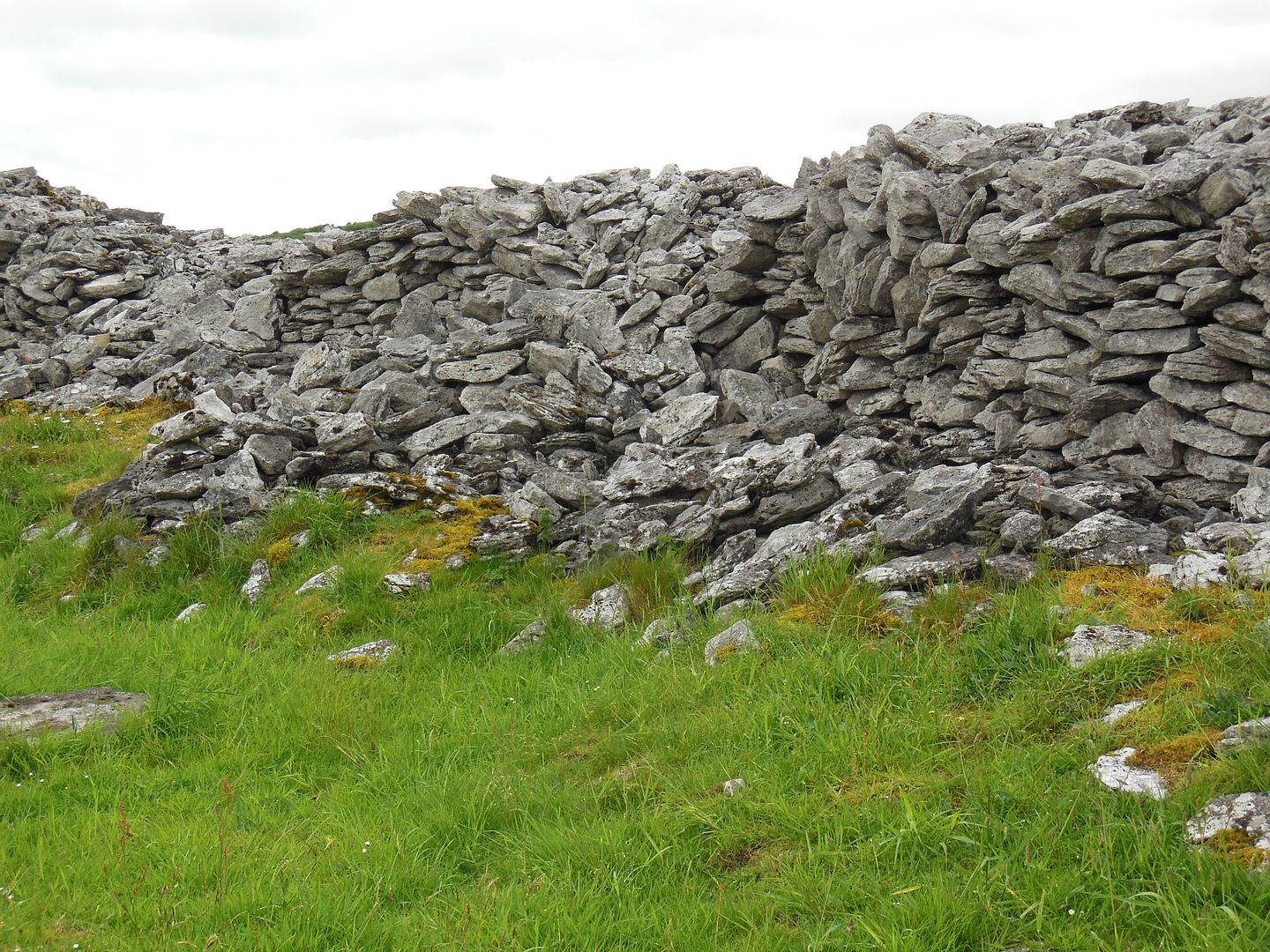
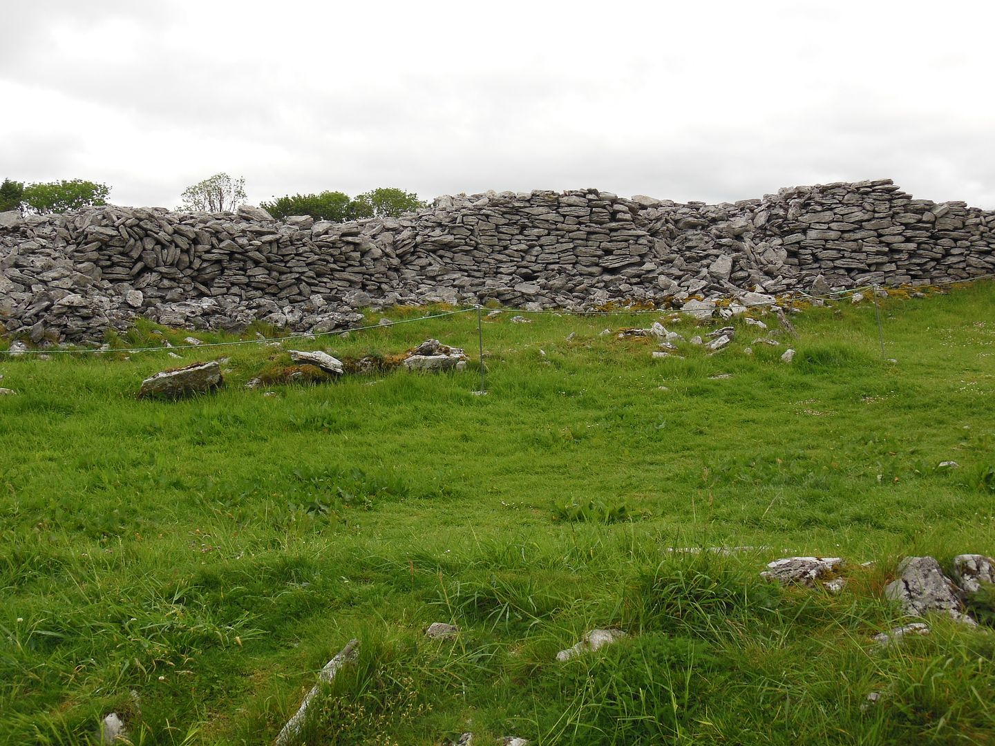
The stone wall is up to six meters high and four meters thick. It was built without mortar. The fort appears to have been built in several stages rather than in a single continuous building event.
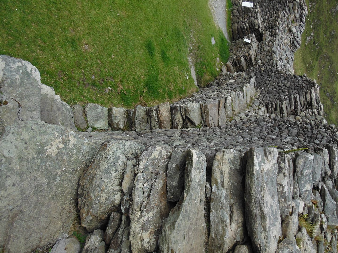
The top of the wall was reached by a series of steps which criss-cross against the inside of the wall.
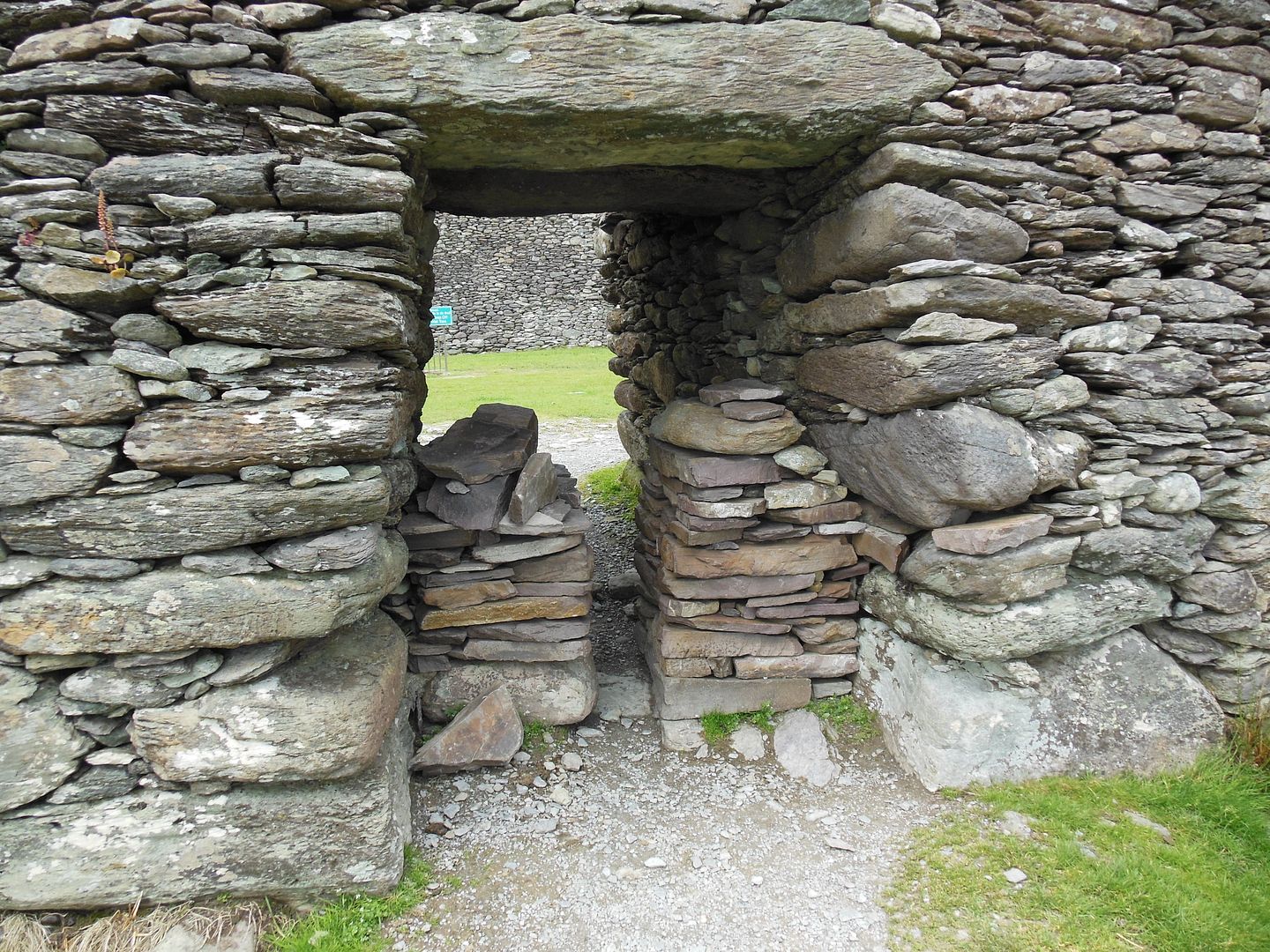
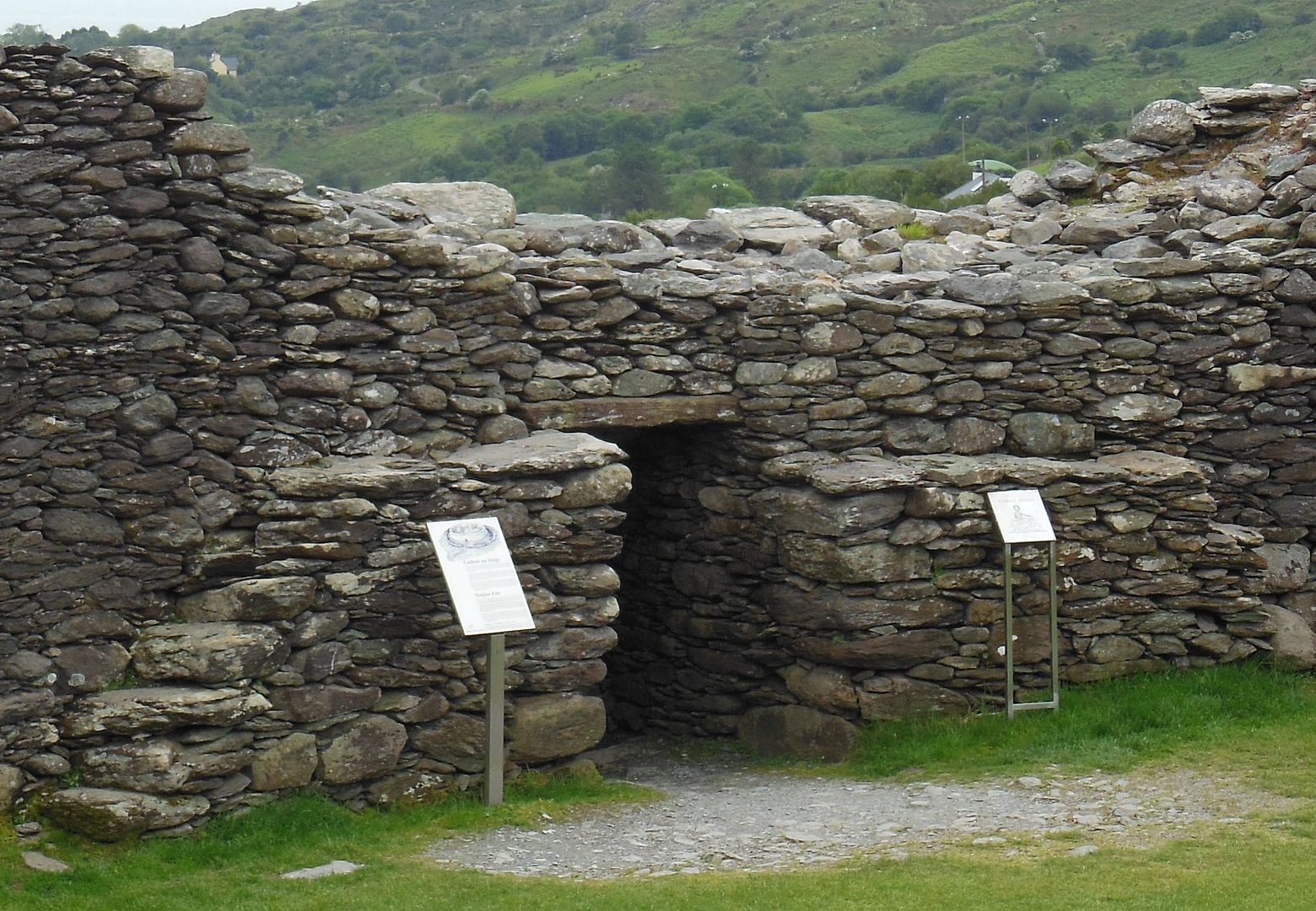
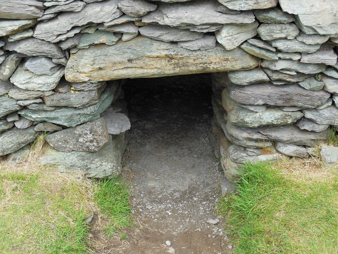
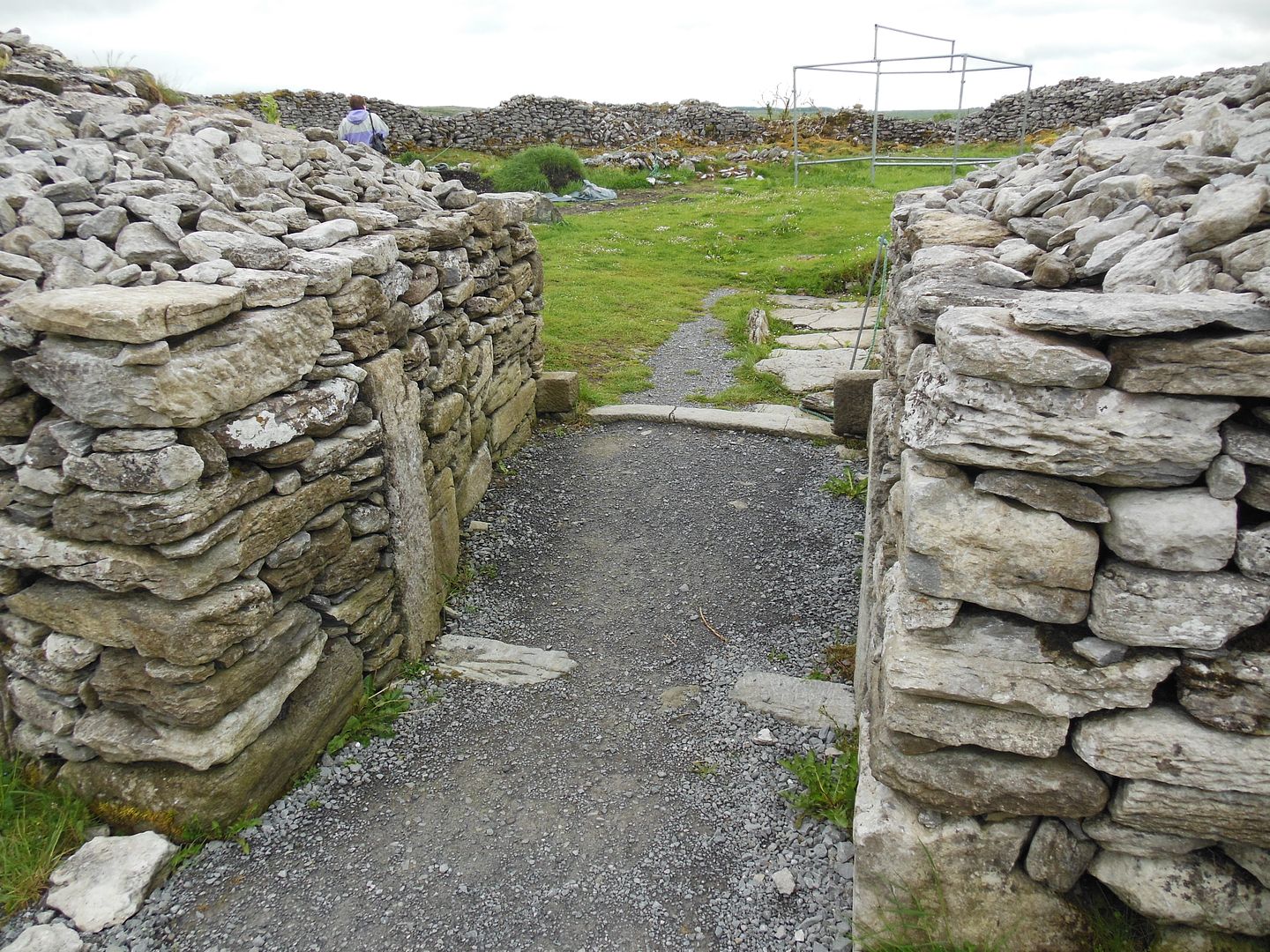
A narrow passage through the wall provides entry to the fort.
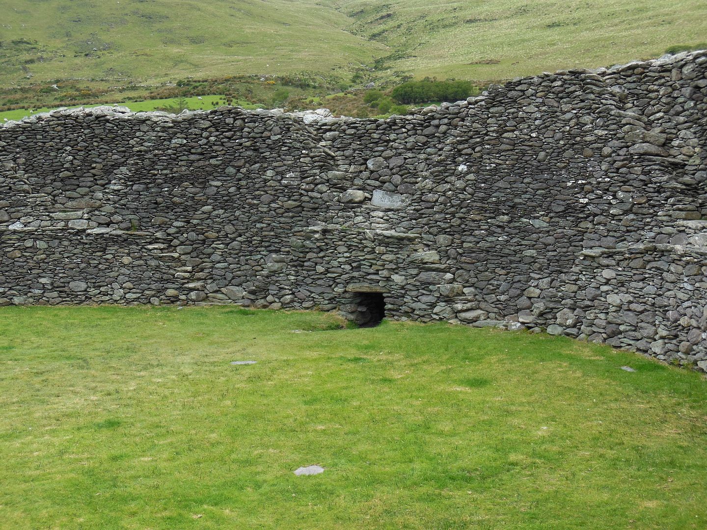
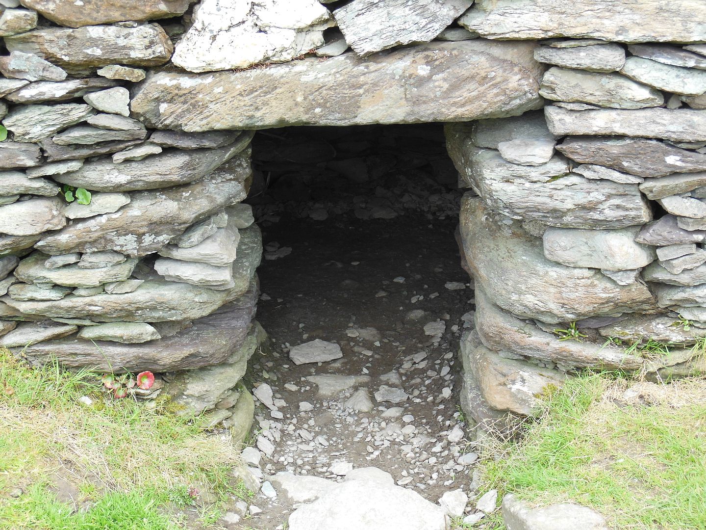
Two small chambers are contained within the wall. Shown above are the entrances to the small chambers which are contained within the wall.
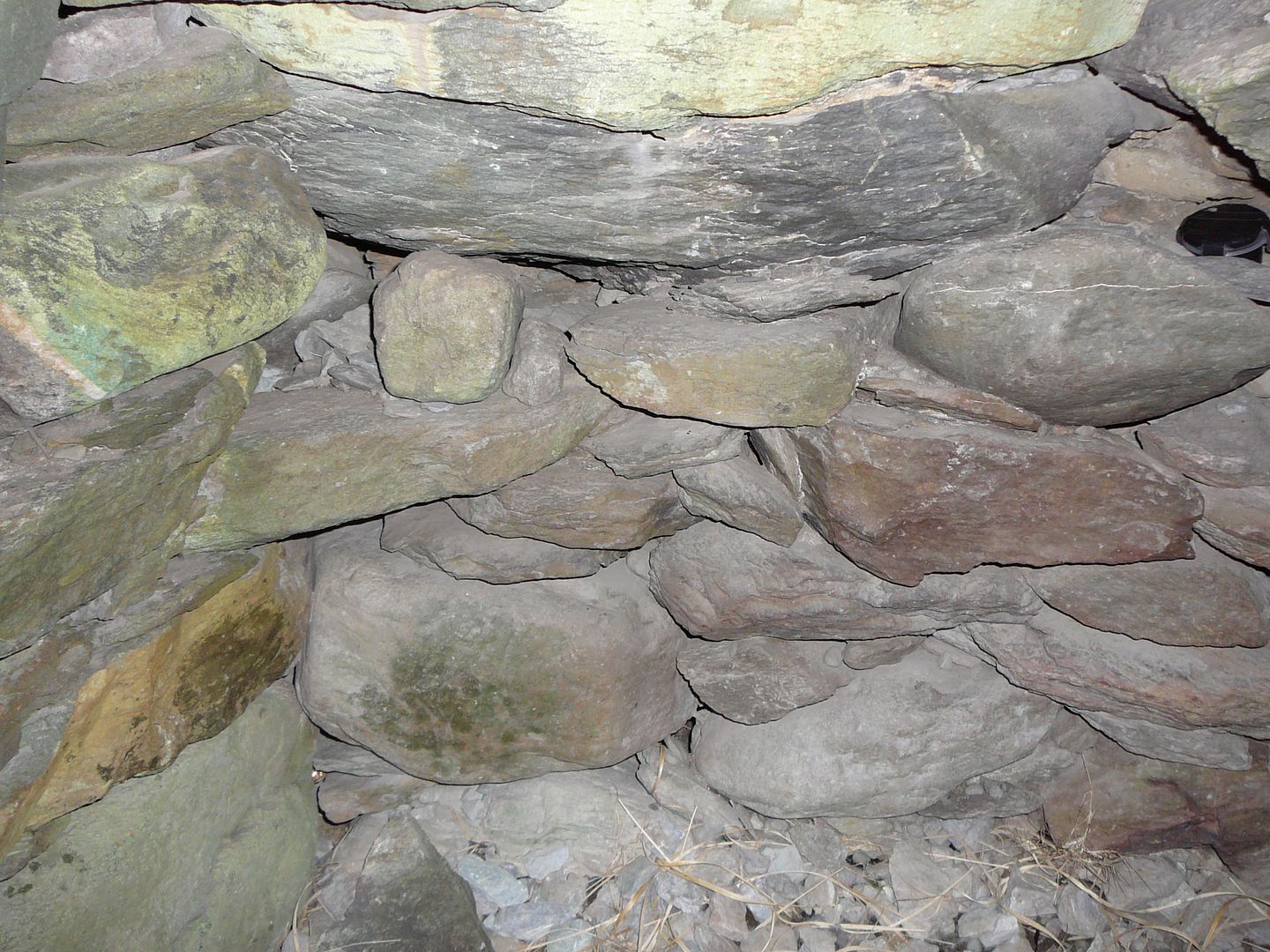
The photographs above were taken from inside the small chambers.
An earthen bank and ditch around the fort provided additional protection from attack.
Caherconnel (Cahercommaun) Ring Fort:
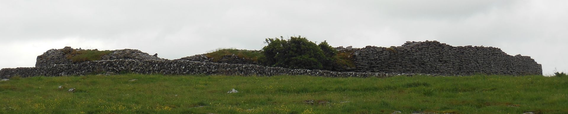
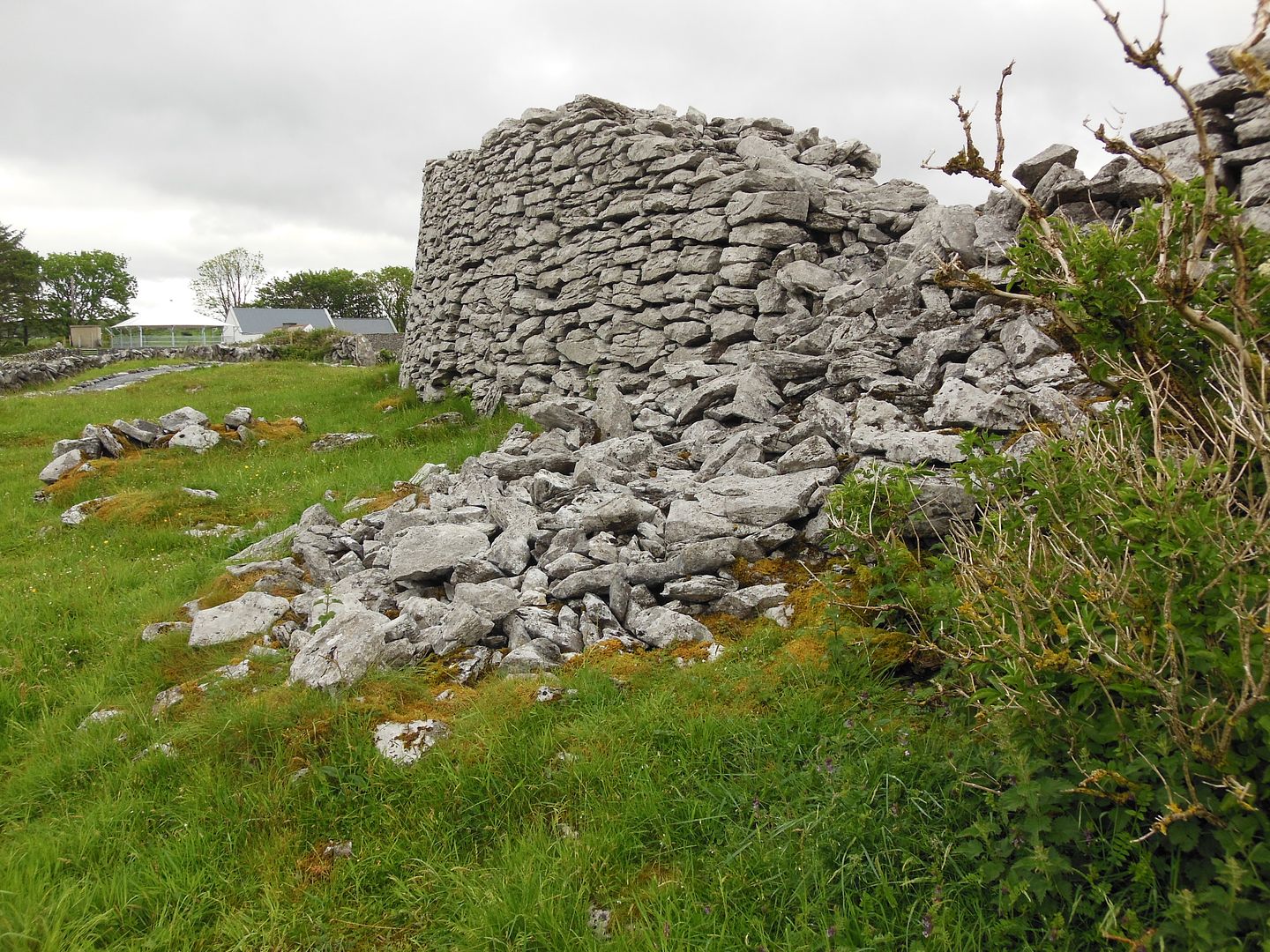
The Caherconnel Ring Fort is one of about 500 ringforts in The Burren. It is on private land today and is run as both an archaeological centre and a tourist attraction. In 2010 the Caherconnel Archaeological Field School was established to carry out excavations at the cashel and its environs.
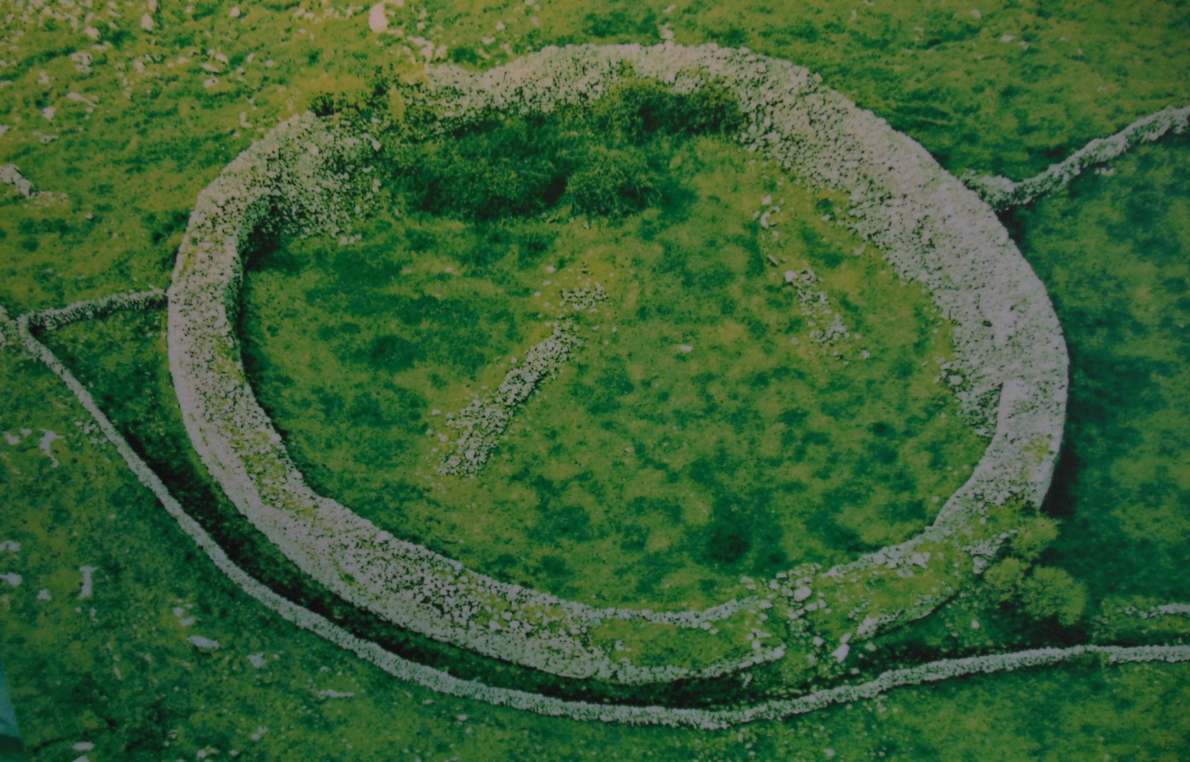
Shown above is an aerial photograph of the site prior to excavation.
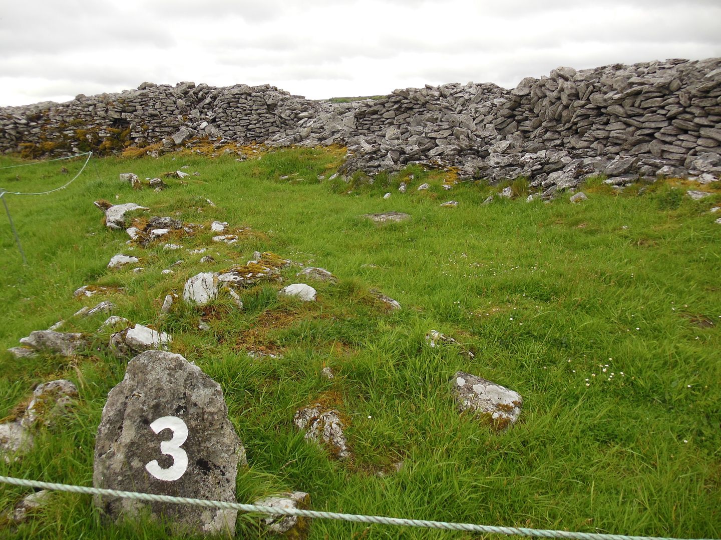
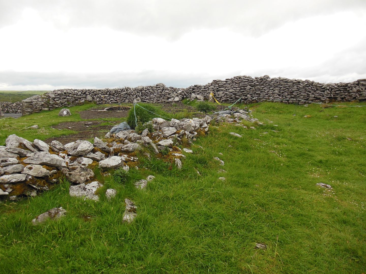
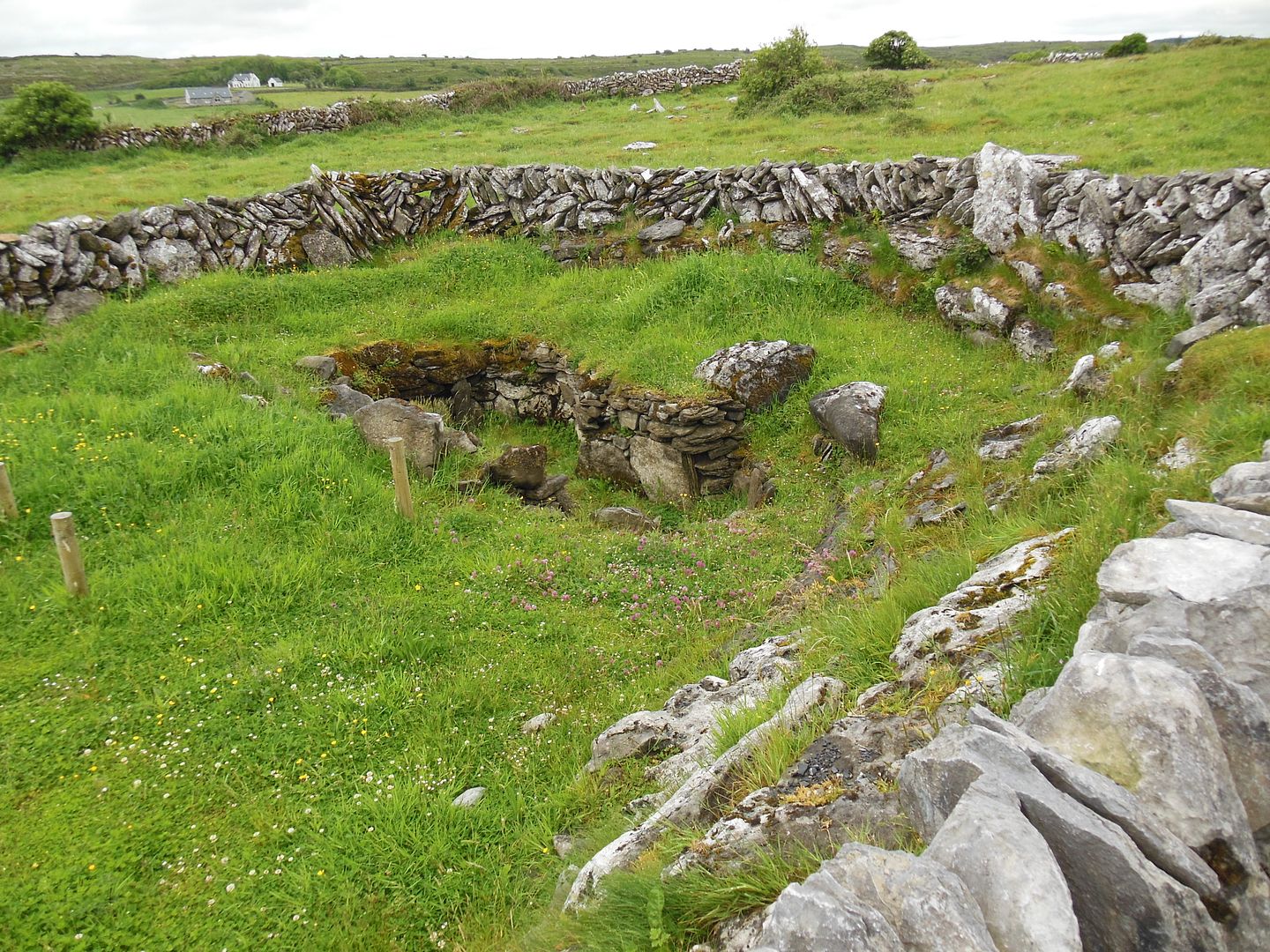
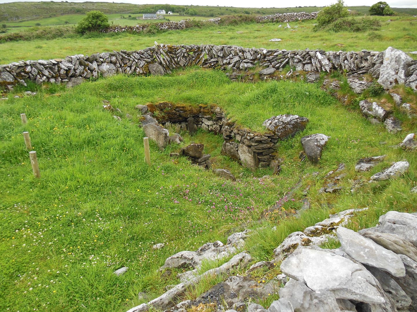
Shown above is the site of a fairly large rectangular house. This was probably the principle house in the fort during the 14th and 15th centuries.
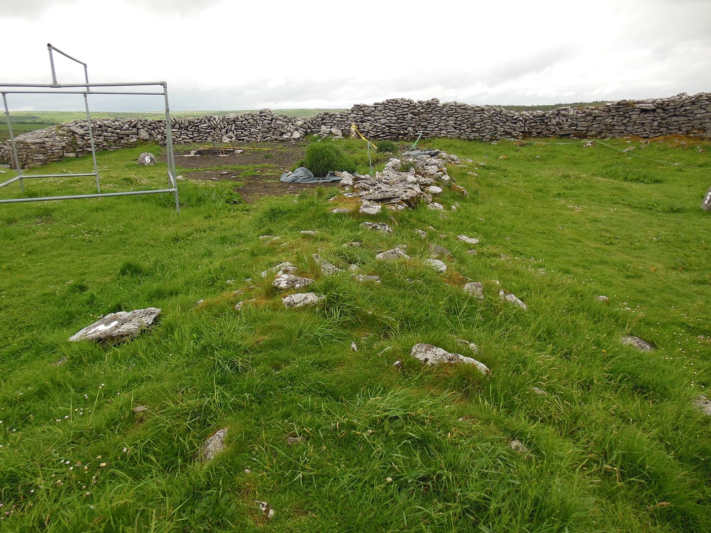
Shown above is the foundation for a small structure, perhaps a house or shed.
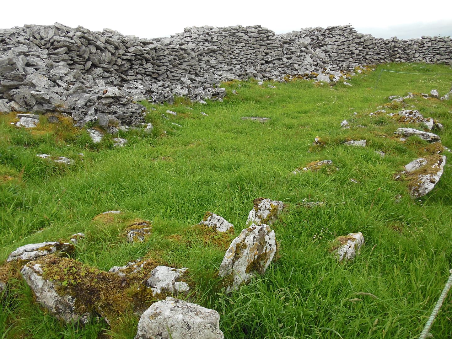
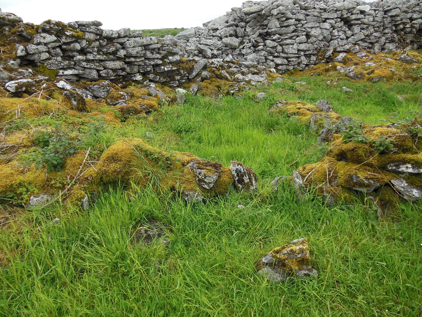
Shown above is what remains of the center dividing wall in the fort.
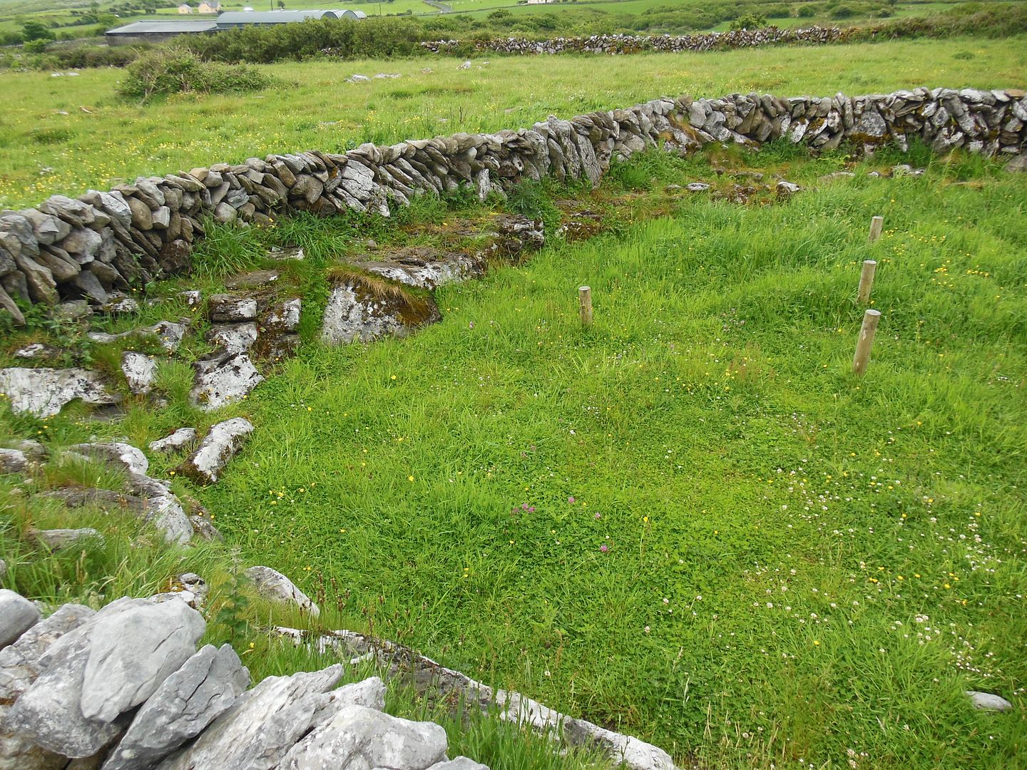
Shown above is one of the structures outside of the wall.
Archaeological surveys have identified several small settlement clusters in the area, as well as two boulder burials, a drystone chamber, and a number of small hut-sites and ancient field walls.
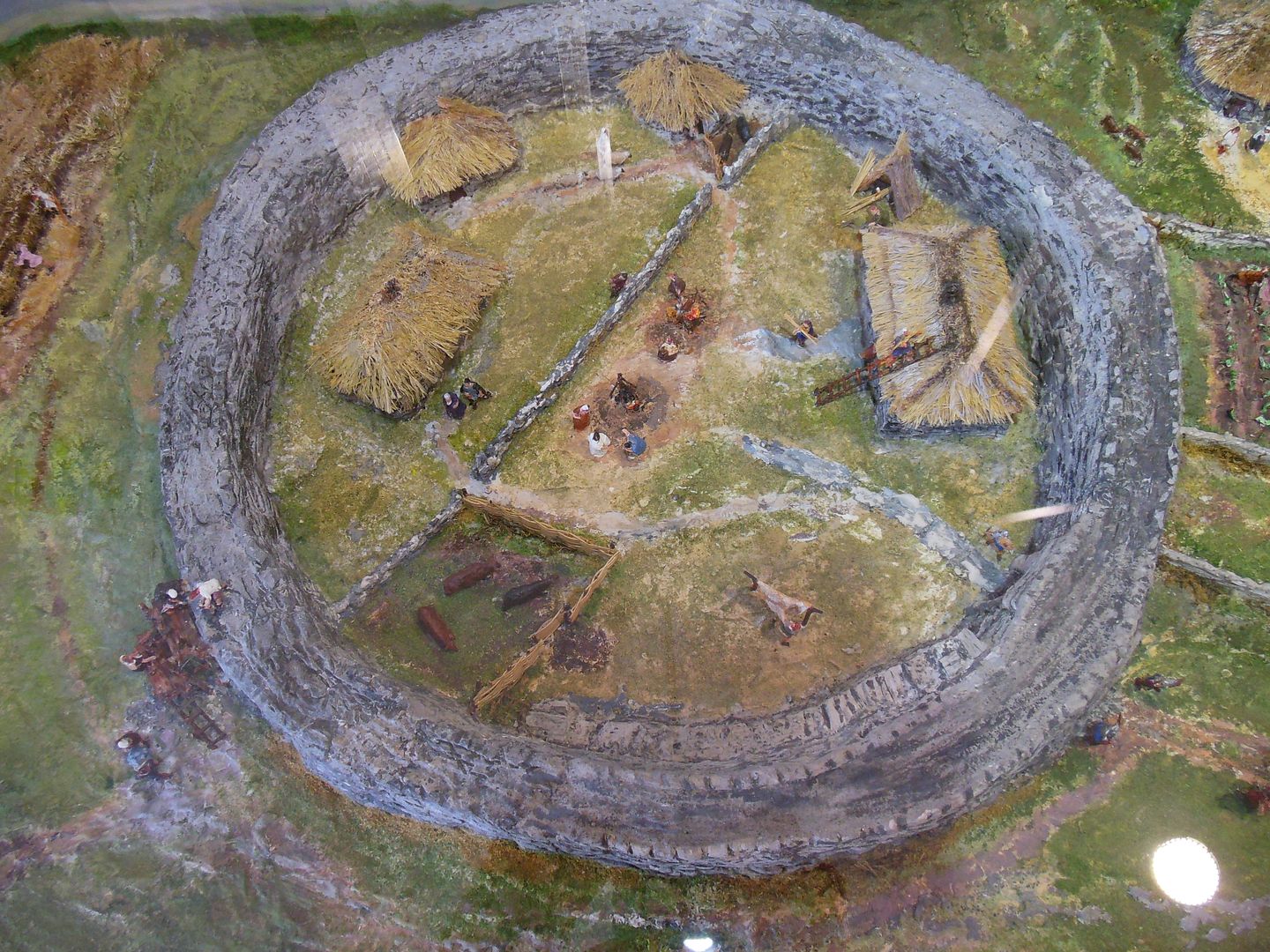
Shown above is an artist’s conception of what the site would have looked like.
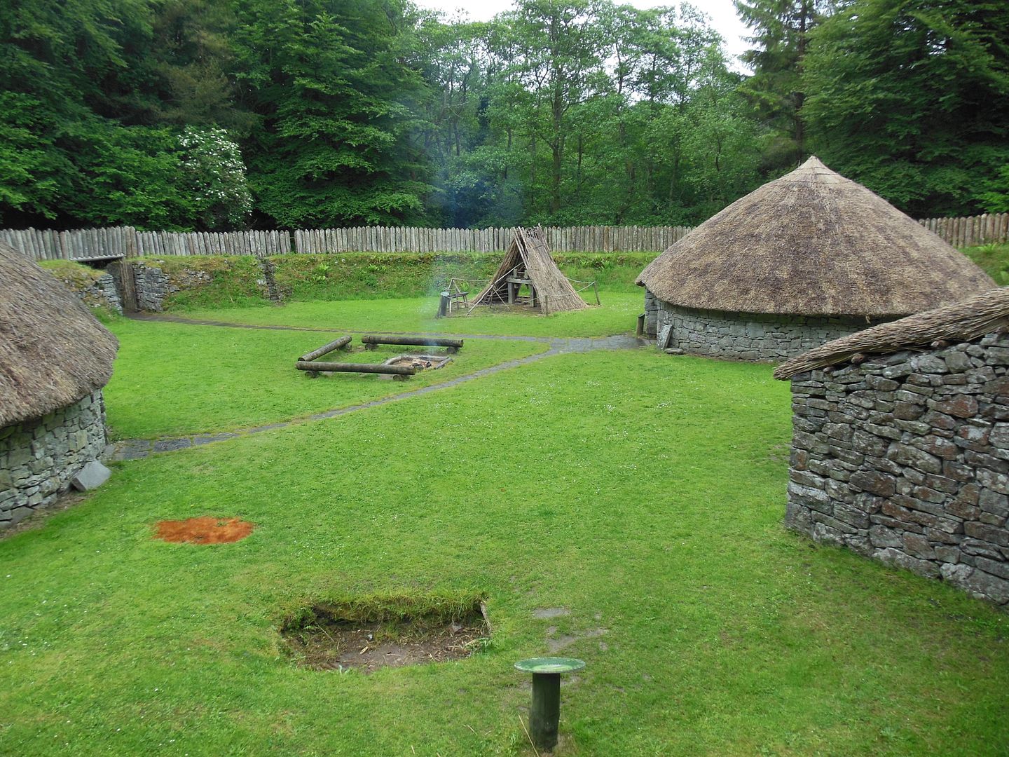
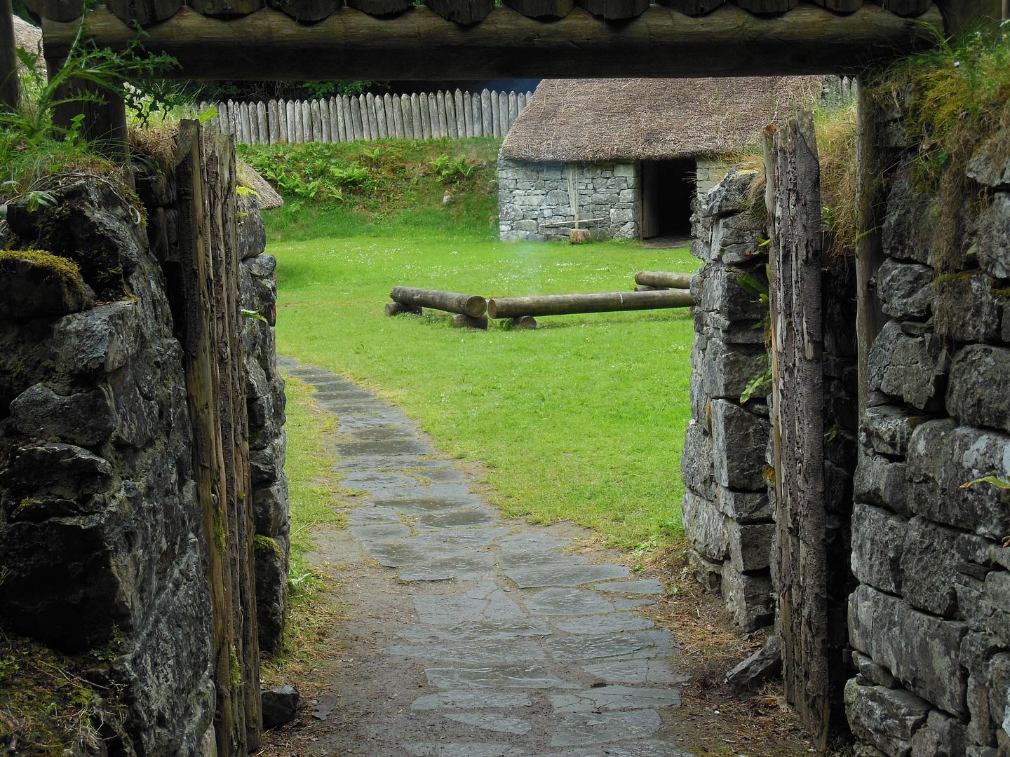
Craggaunowen:
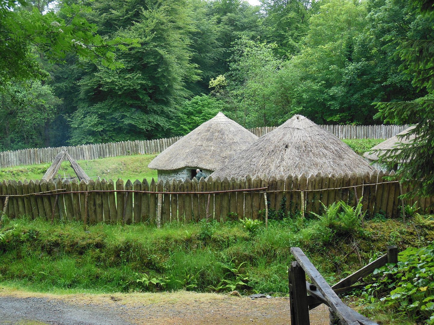
At Craggaunowen there is a re-created ringfort that provides a fairly accurate picture of what a ringfort would have been like when it was occupied.
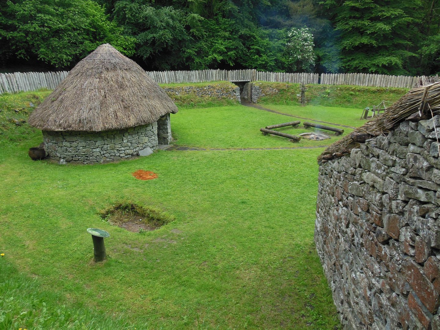
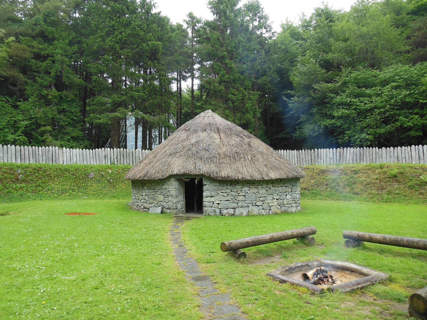
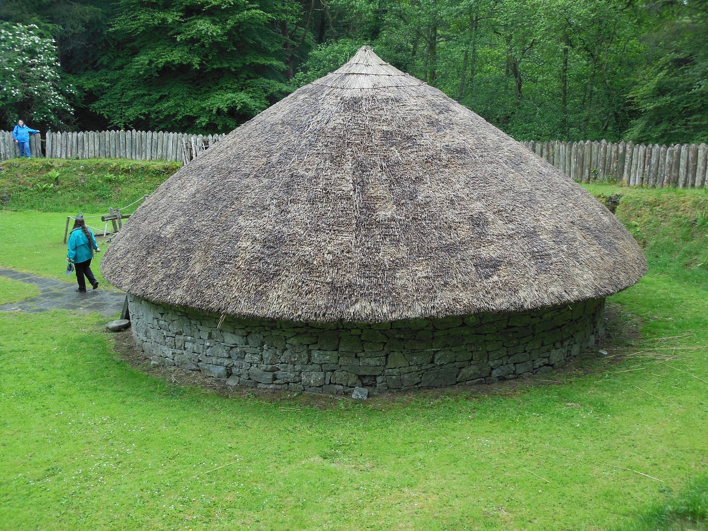
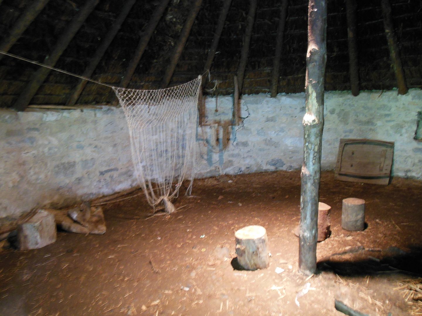
The circular houses shown above have load-bearing walls so that only a single central pole is needed to support the roof. The thatch on the roof is made from Common Reed (Phragmites australis).
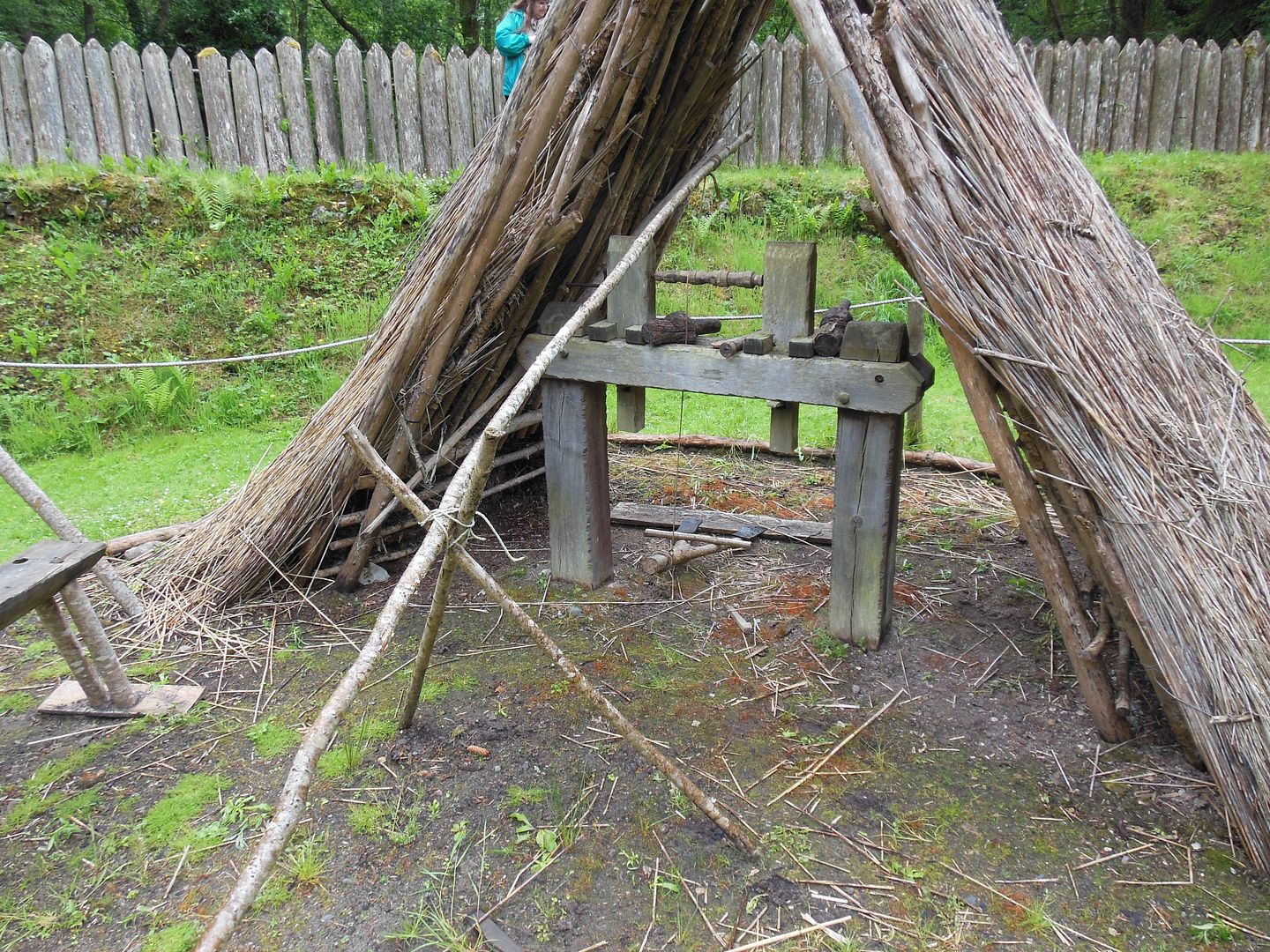
Shown above is a pole lathe which was used for making bowls, goblets, candlesticks, and other wooden items. The treadle providing the power to turn the wood against the gouges is worked by foot, and the sampling or pole provides a counter spring action to return the piece to the starting point to begin again.
