One of the most spectacular sights, in a county of spectacular sights, is Mam Tor (which roughly translates as ‘the mother’s peak’) near Castleton, Derbyshire, in the heart of the Peak District National Park. I was once moved to describe it as 'a giant mound of pistachio icecream with a scoop taken out' - my geology teacher gave me a 'C'.
The Peak District is complex in geological terms, with areas of predominately sedimetary rocks including limestone, shale, sandstone and gritstone. Many of these were laid down during the Carboniferous period of the late Paleozoic era (540 - 250 million years BCE). The collections of the county-owned Buxton Museum & Art Gallery are full of examples of local minerals, and make a good job of explaining the processes of deposition, compression, folding of the strata, the retreating of the seas, and growth and retreat of the ice sheets, which gave rise to the glaciated features you can now see (the Hope Valley, which Mam Tor sits at the head of, is a classic example of this).
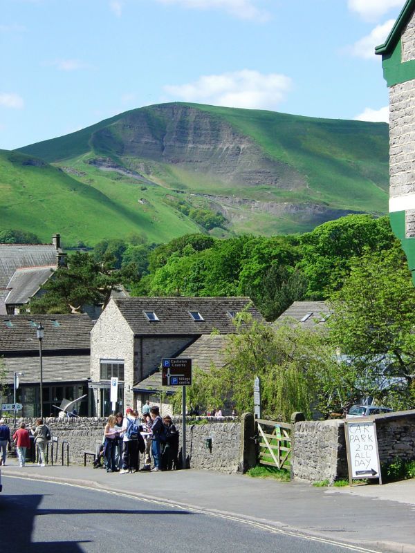
Although not high (only a shade under 1,700ft) it is wildly unstable, in geological terms, and Mam Tor's layers of shale and sandstone are constantly on the move, giving rise to another local name, 'the Shivering Montain'; in the 1970s, the A625 Sheffield to Manchester road which used to run around the southern edge was finally closed, and subsequently destroyed, by a landslip. The huge ‘bite’ you can see on the south summit happened much earlier. The name of the feature could either be attributed to the fact that it is always 'giving birth' to small landslips, or to its female shape. Mam Tor offers wonderful views; you can see the cities of Manchester, Salford and Stockport and even into Wales if the day is a clear one. One word of warning – if you do visit, watch out for the very strong ‘venturi effect’ wind on the summit; you can literally be blown off your feet (I have seen a Yorkshire Terrier airborne)!
Human occupation and use of this commanding site has been extensive throughout the ages. Neolithic flint shards have been found, along with a beautifully polished axe head. Bronze Age artefacts have come to light, and there are two round barrows from that period on the summit. Major occupation came with the Late Bronze Age and Iron Age. Construction of a univallate hill fort was commenced, with an outer bank, ditch (approximately 6 feet deep) and berm - initially, this would have possibly been topped by a wooden pallisade, later by a stone wall up to 9 feet high. This enclosure measured close to 15 acres in extent, and evidence has been found suggesting there were around 70 hut platforms to support stone and turf dwellings, all containing hearths and refuse pits. The archeological finds on site include carved stone beads, crockery shards and broken whetstones. As well as providing a home for the local tribe, the hill fort would have served as an enclosure for stock animals in troubled times, and a food storage and distribution point.
Mam Tor - where you can feel the winds of time blowing!
http://www.derbyshire.gov.uk/...
http://peoplesmosquito.org.uk
http://shortfinals.wordpress.com

