Quite a few years ago the Bureau of Land Management (BLM) published a preliminary assessment of projected Wilderness Study Sites for southern New Mexico, including a number in Doña Ana County. As with many other like-minded conservationists in the county I commented on these proposals, went to meetings, and wrote letters. Not much happened until Pete Domenici and Jeff Bingamin proposed a solution. In 2007 about 55% of the residence supported this Organ Mountains Wilderness Park, of over 200,000 acres. By the time President Obama signed the Organ Mountains-Desert Peaks National Monument in to law the area had grown to nearly 500,000 acres and a part (about 5000 acres) of the Robledo Mountains had already been protected as Prehistoric Trackways National Monument. The new sponsors of the bill were Senators Tom Udall and Martin Heinrich and a poll showed 70% support in the county.
I have visited most of the land involved, but unfortunately only photographed the Organs (I had no good cameras when I visited the Aden Lava Flow and the Rebledo Mountains, and I have not been to the Sierra de las Uvas, although I always passed by them on my way up to Albuquerque.)
Below the fold is an album of landscape and biota of the Organ Mountains, now part of our newest National Monument.
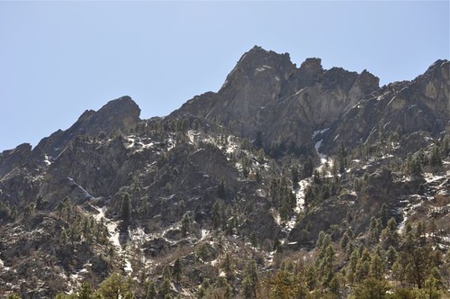
The sparse ponderosa pine forest of the upper Pine Tree Loop Trail is visible below the peaks.
The east side of the Organ Mountains is wetter and has more snow, or at least it did before our current drought.
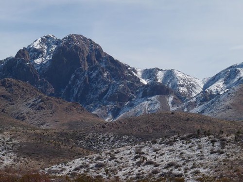
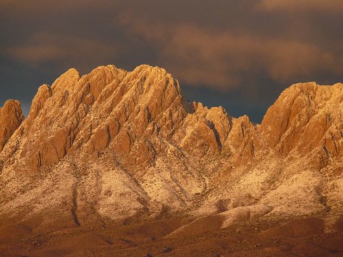
When we do have snow the Organ Mountains can be spectacular, even from the west side, as in this photo of the Soledad Canyon area.
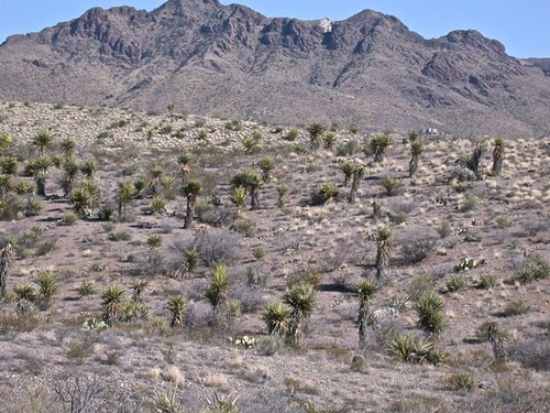
On the same side is a "forest" of Yucca torreyi.
Another winter shot of the Organ Mountains.

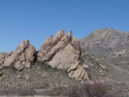
Soledad Canyon is one of the gems of the Organ Mountains.
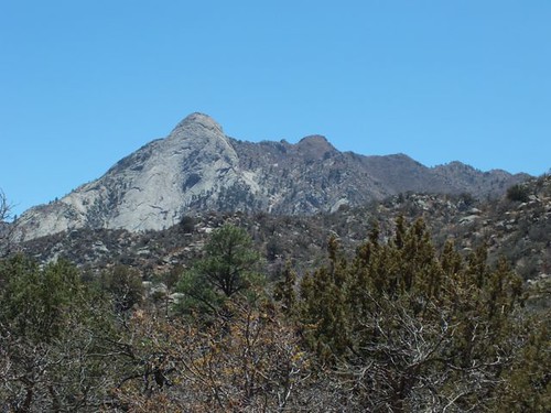
Sugarloaf on the east side of the Organ Mountains has a few Douglas fir at the base, or at least it did before a forest fire swept through.
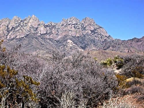
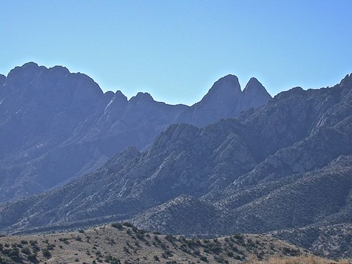
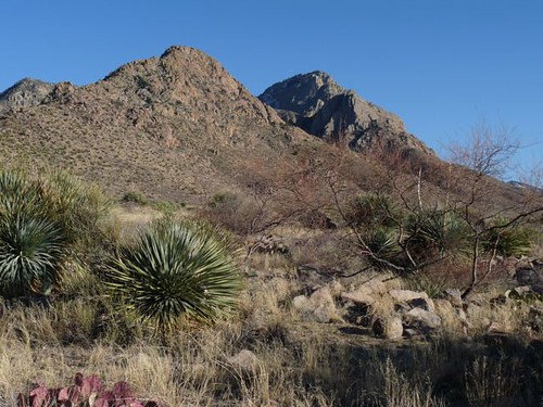
Another view of the Organ Mountains, this time in March.
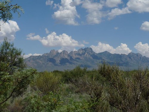
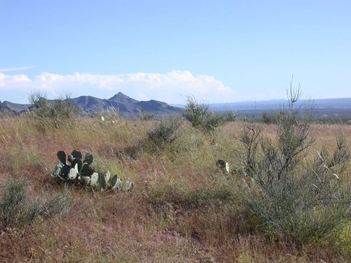
A view of the Organ Mountains in summer from the Jornada del Muerto.
Part of La Cueva, the outcropping of rock in which a cave housed the famous Hermit.
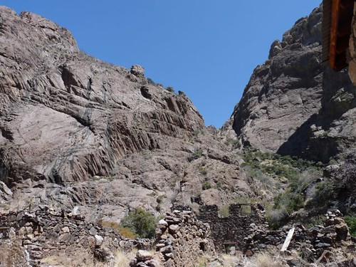
Upper Ice Canyon near the old Van Patten Resort, the ruins of which are partly visible. The resort had its heyday in the 1890s.
Baylor Canyon, named for Confederate colonel John Baylor is on the west side of the mountains. Near here Baylor trapped a troop of Union soldiers who had filled their canteens with whisky! Not good in summer especially!
Looking toward the sedimentary outcrop (most of the Organs are igneous) of Bishop's Cap, just north of El Paso.
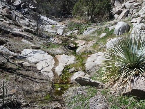
Aguirre Springs is on the east side and there is often actual running water, which draws wildlife from the surrounding mountains.
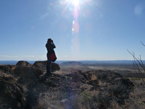
Our daughter looking over the Mesilla Valley from a foothills outcrop.
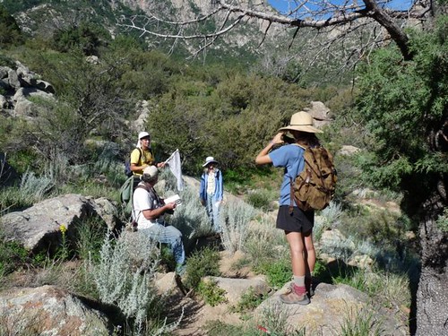
A group of 4th of July butterfly counters rest on the Pine Tree Trail Loop.
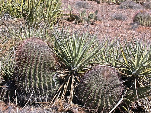
Barrel cacti and banana yucca (Yucca baccata) along the Sierra Vista Trail.
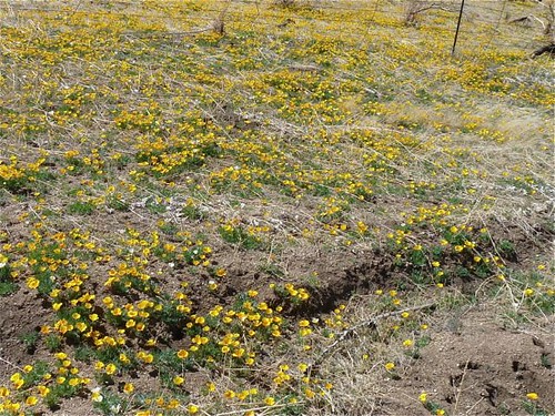
Sometimes rain falls locally and allows a display of poppies and/or bladderpod. These poppies are the Mexican form of the California poppy, Eschscholzia californica.
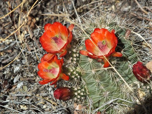
A red hedgehog cactus in bloom next to the Pine Tree Loop Trail at Aguirre Springs.
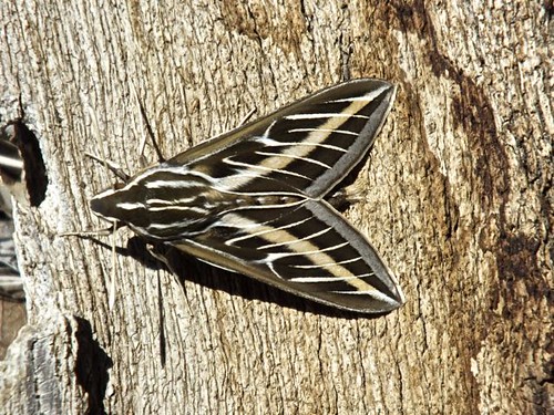
A white-lined sphinx moth (Hyles lineata) rests near the Pine Tree Loop Trail.
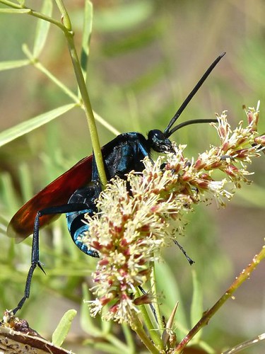
A tarantula hawk (Pepsis sp.) on flowers in the Organ Mountains.
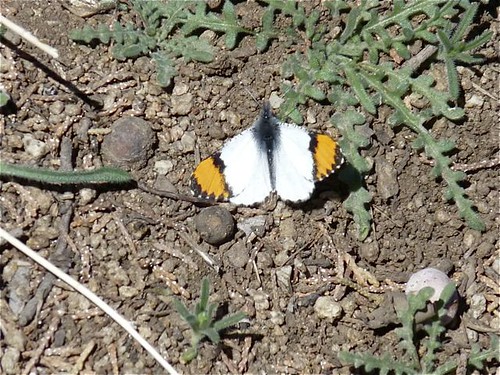
Sara Orangetip (Anthocharis sara) along the Pine Tree Loop Trail.
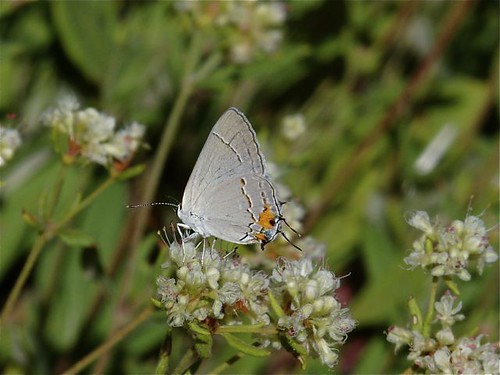
A gray hairstreak (Strymon melinus) along the Pine Tree Loop Trail.
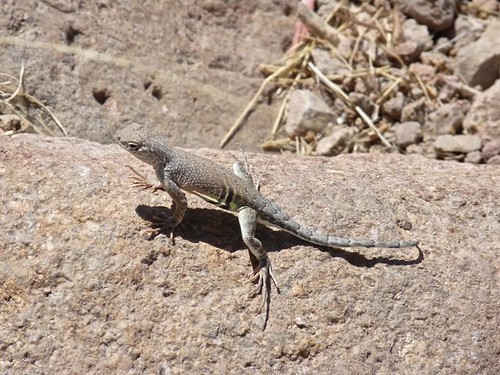
A greater earless lizard (Cophosaurus texanus)along the Pine Tree Loop Trail.
