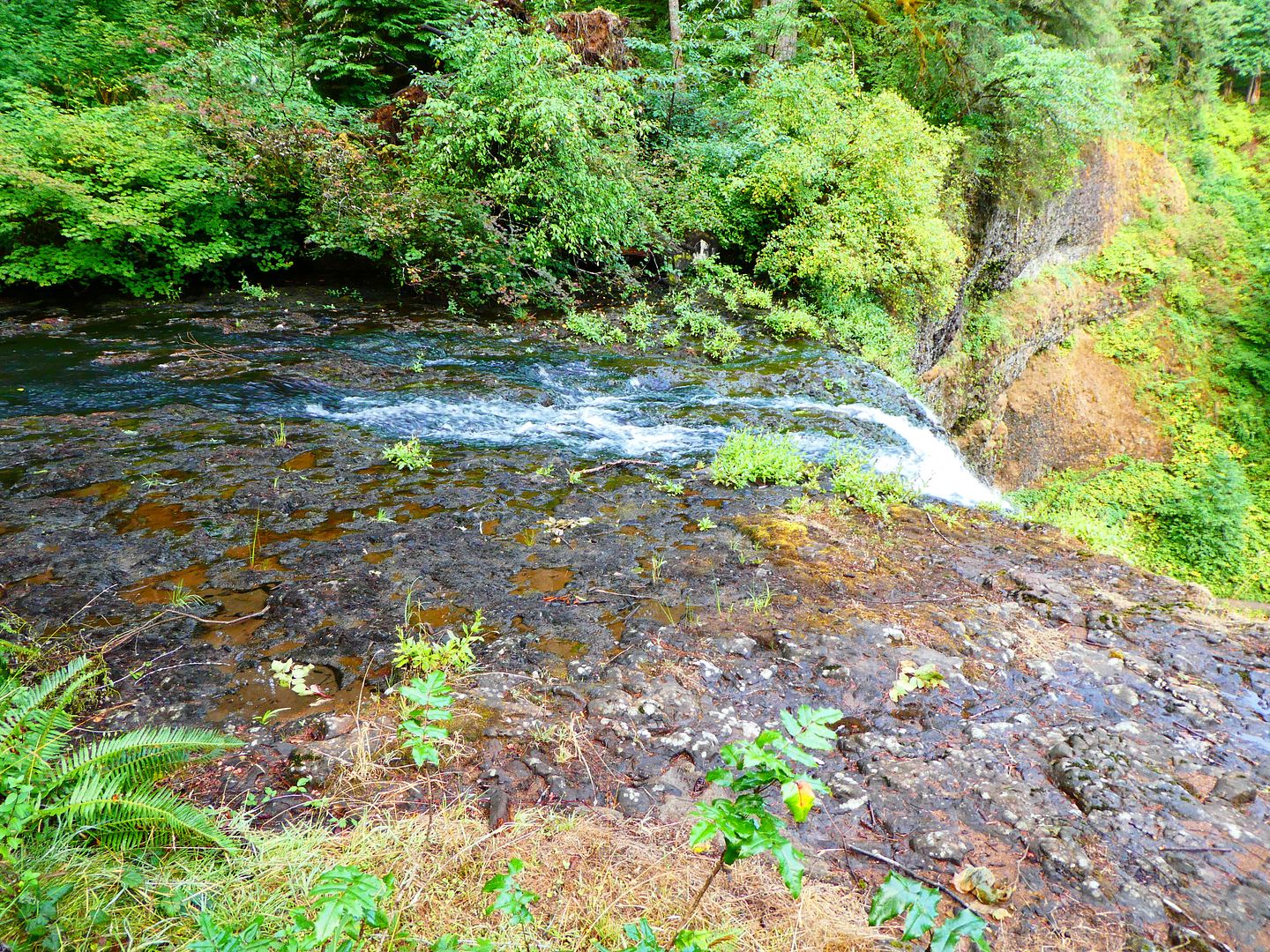
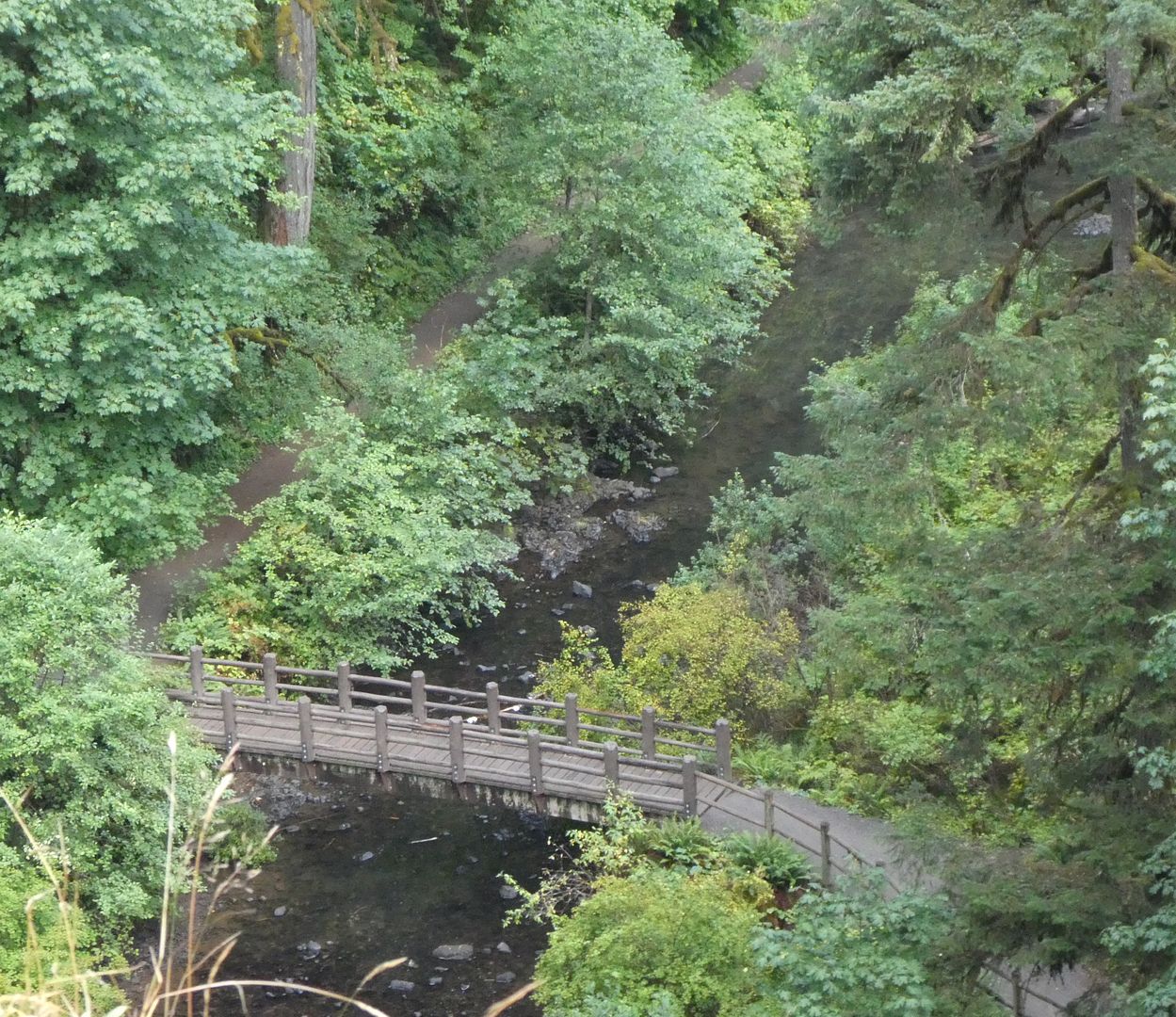
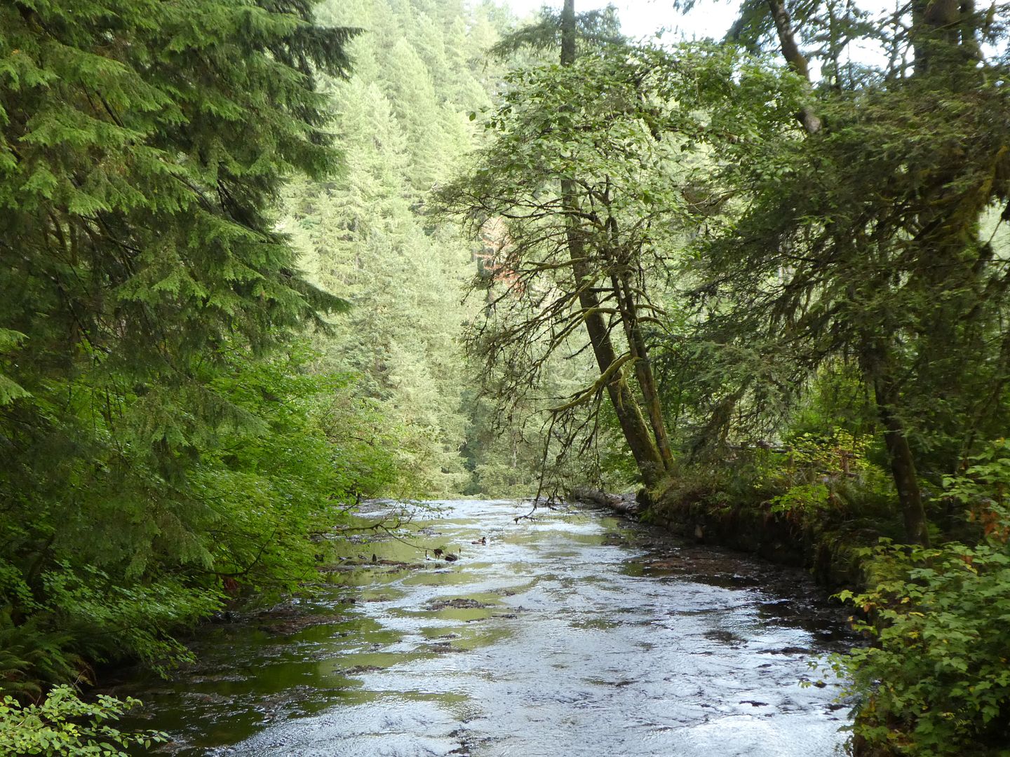
Silver Falls State Park near Silverton, Oregon,is nestled in the foothills of the Cascade Mountains. Often called the crown jewel of the Oregon State Parks system, it is Oregon’s largest state park, covering9,200 across. The Park includes 10 magnificent waterfalls.
At the beginning of the twentieth century, very few people living outside of what was to become Silver Falls State Park had seen the many magnificent water falls in the area. From 1906 to 1926, photographer June Drake brought the area some national attention as he tried to persuade the federal government to set the land aside as a national park. However, he failed to convince the National Park Service, and so he turned his attention to the State of Oregon.
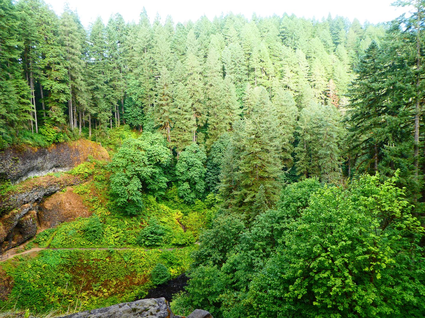
Oregon’s Silver Falls State Park was opened to the public in 1933 on land that had been set aside in 1931 by the Oregon State Highway Commission. The Silver Falls State Park infrastructure was built between 1935 and 1942 by the men of the Civilian Conservation Corps (CCC) and the skilled workers of the Works Projects Administration (WPA). The park is located in a temperate rainforest that gets about 80 inches of rain each year.
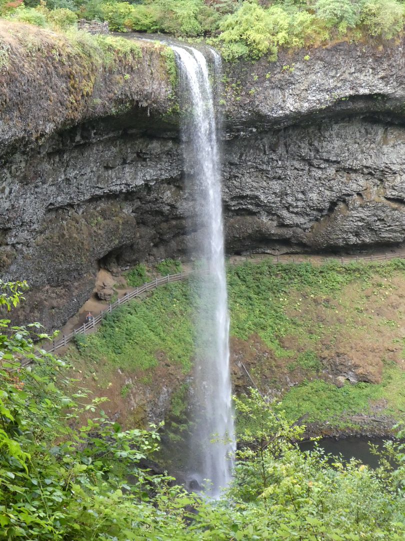
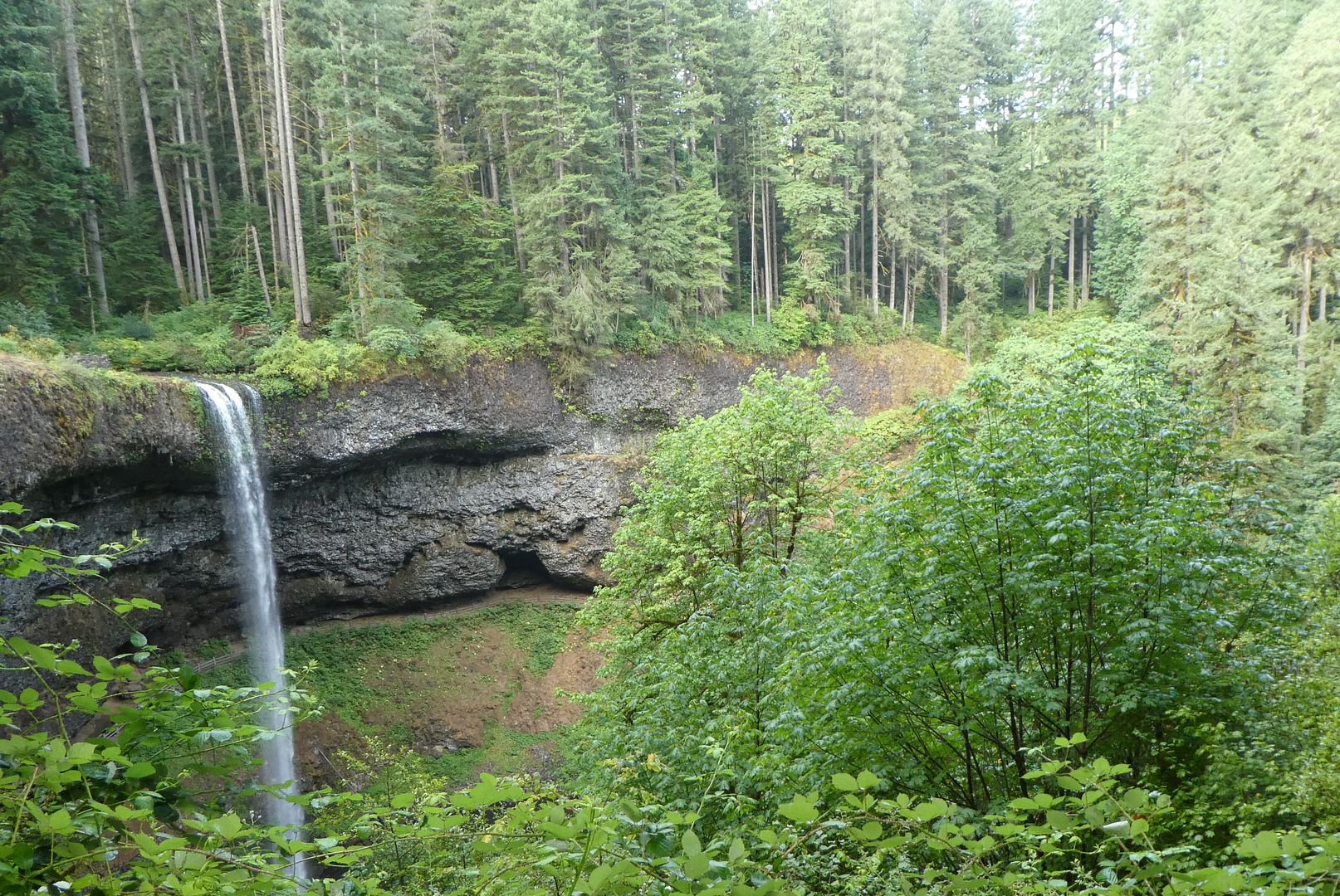
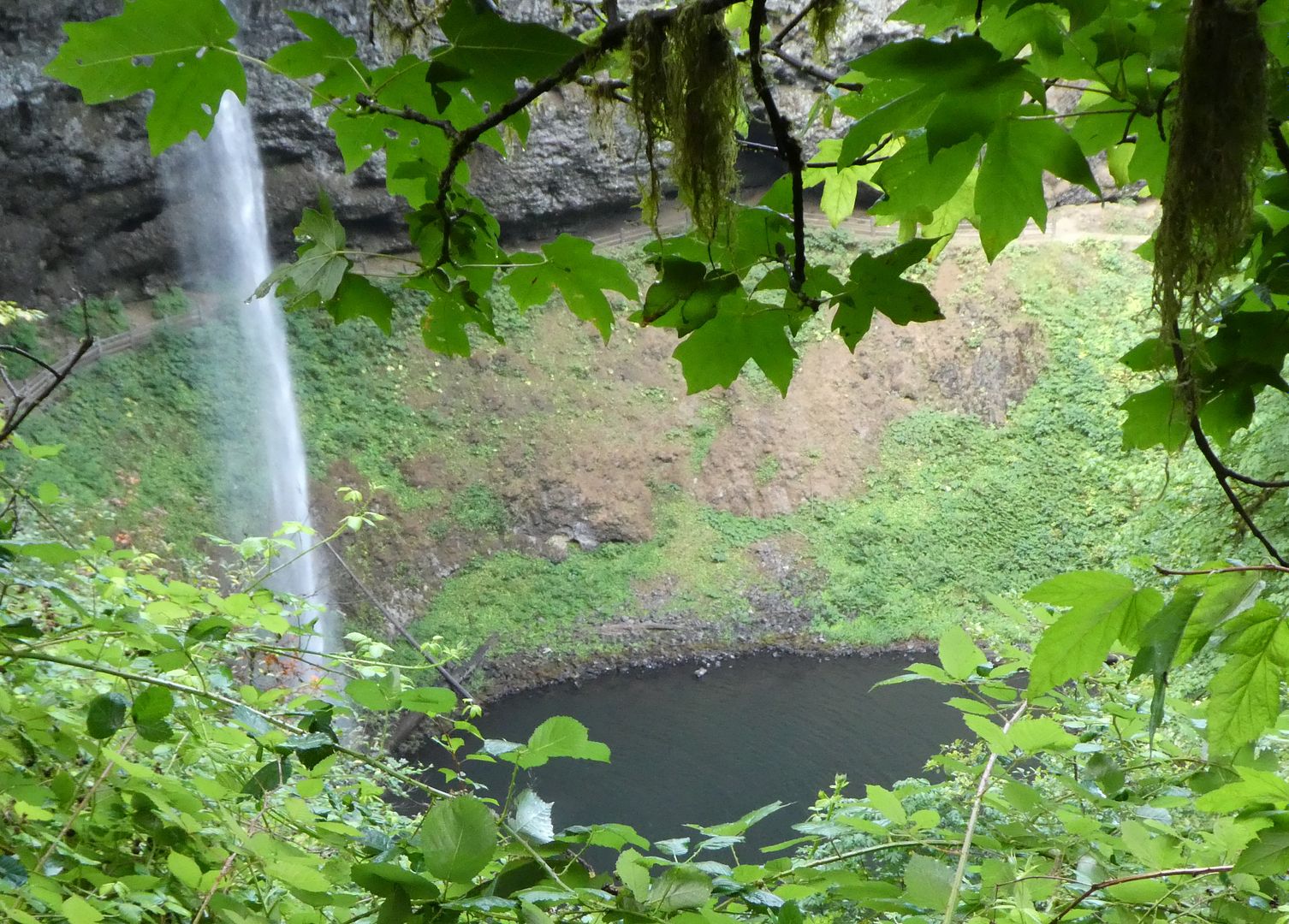
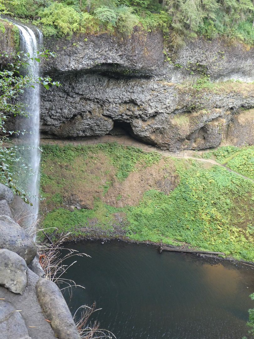
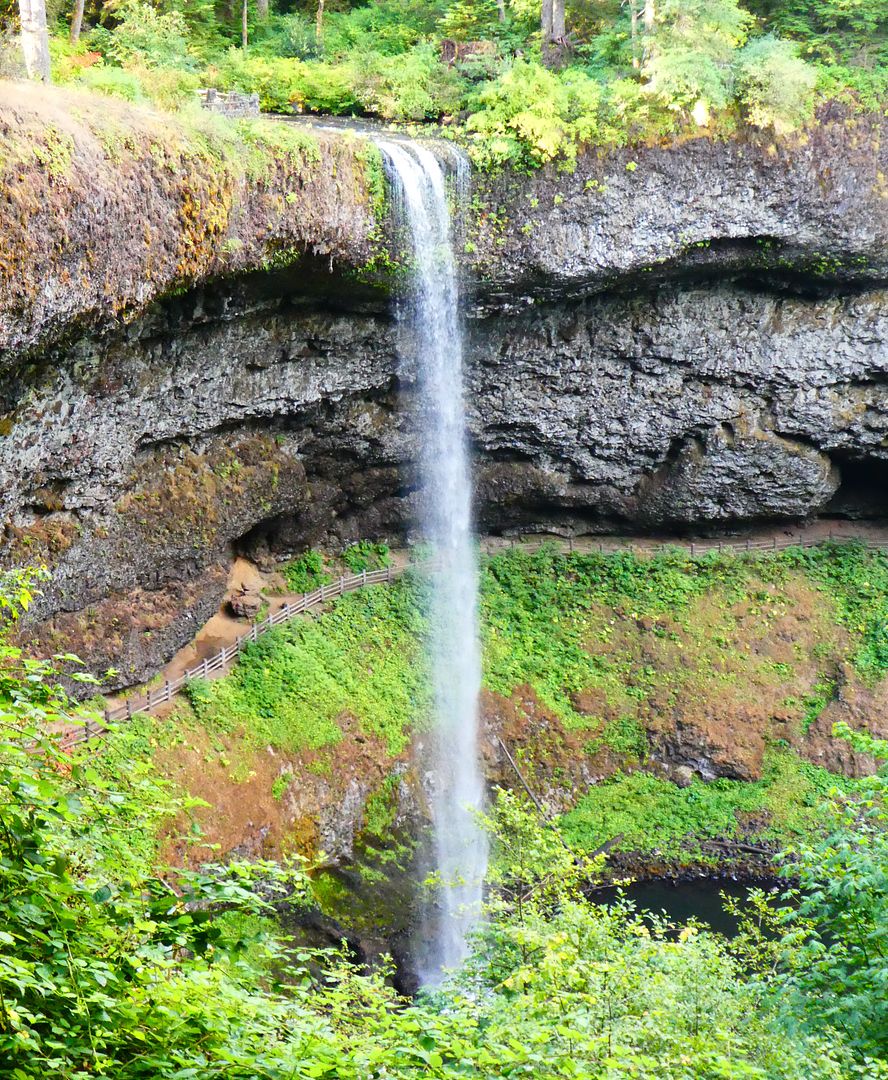
The South Falls cascades over 4 layers of lava which were laid down 15-17 million years ago. The South Falls is 177 feet high.
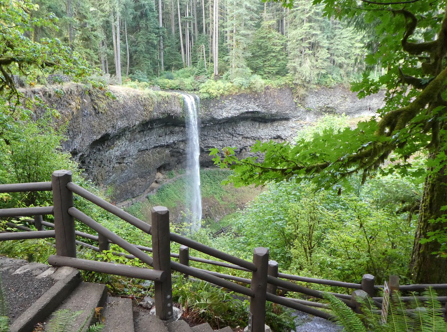
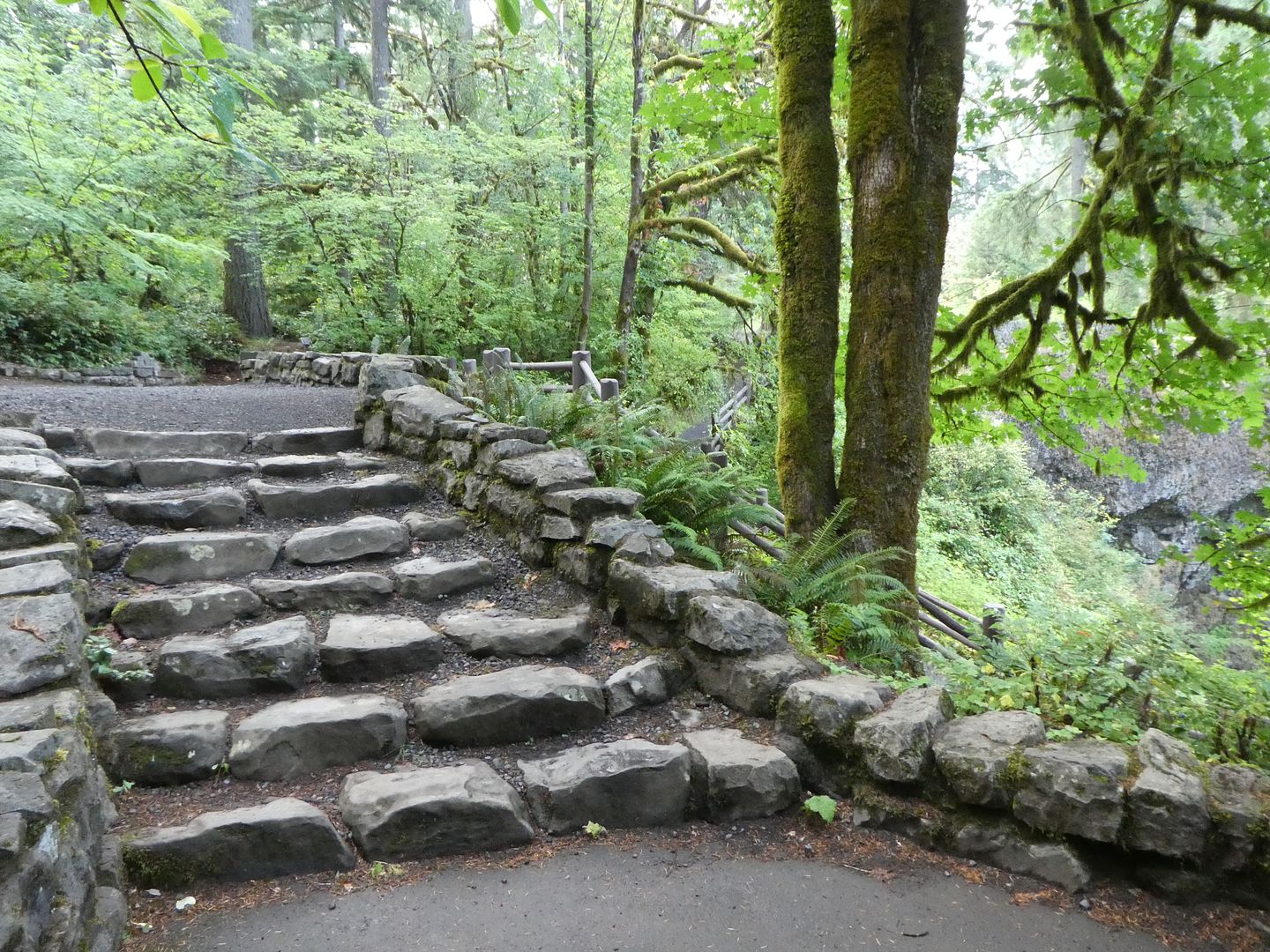
The infrastructure for the overlook was built during the Great Depression by the Works Progress Administration (WPA).
More State Parks
State parks are an important part of the public lands in the United States. These parks are often opposed by conservatives who feel that the land should be private rather than public.
Public Lands: The Beach at South Beach State Park (Photo Diary)
William Tugman State Park (Photo Diary)
Fort Stevens State Park (Photo Diary)
Ona Beach State Park (photo diary)
The Oregon Coast: Bullards Beach State Park (Photo Diary)
Public Lands: Devils Lake State Park (Photo Diary)
Public Lands: Cape Arago State Park (Photo Diary)
Public Lands: Sunset Bay State Park (Photo Diary)


