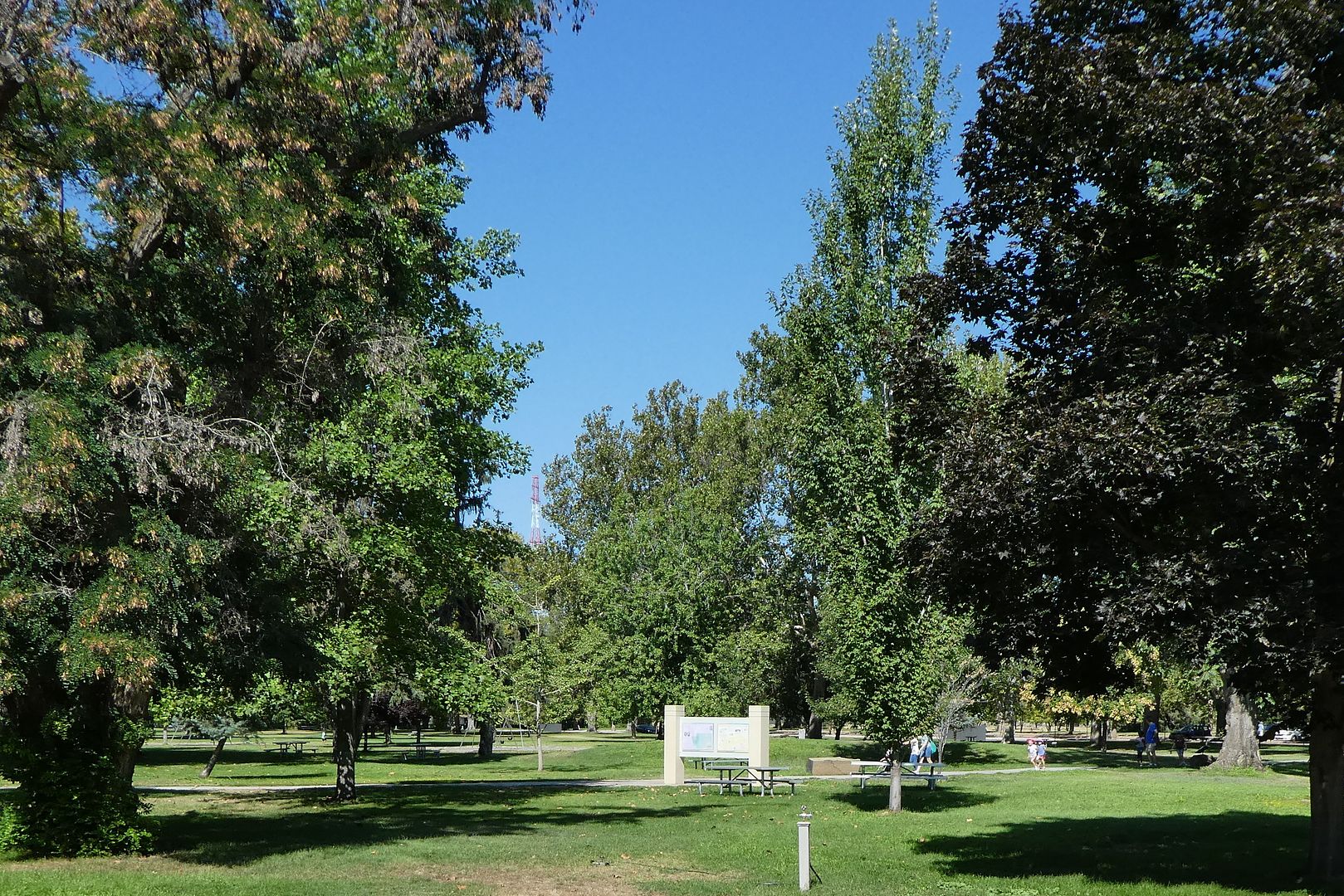
Washington’s Sacajawea State Park is located at the confluence of the Snake and Columbia Rivers. The park is named for the Shoshone woman, Sacajawea (also spelled Sacagawea), who accompanied the American Corps of Discovery (aka the Lewis and Clark Expedition). The Corps of Discovery camped at the confluence of the rivers in October 1805.
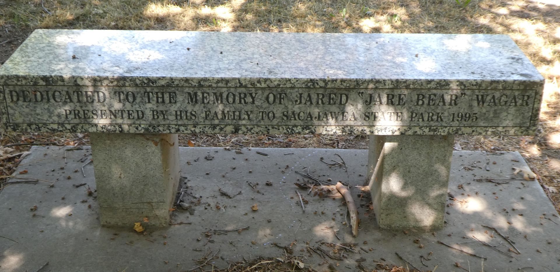
The park was founded in 1927 by the Daughters of the Pioneers of Washington, Pasco Chapter No. 3. They built a monument and planted trees and shrubs. In 1931, they deeded the park to the State of Washington.
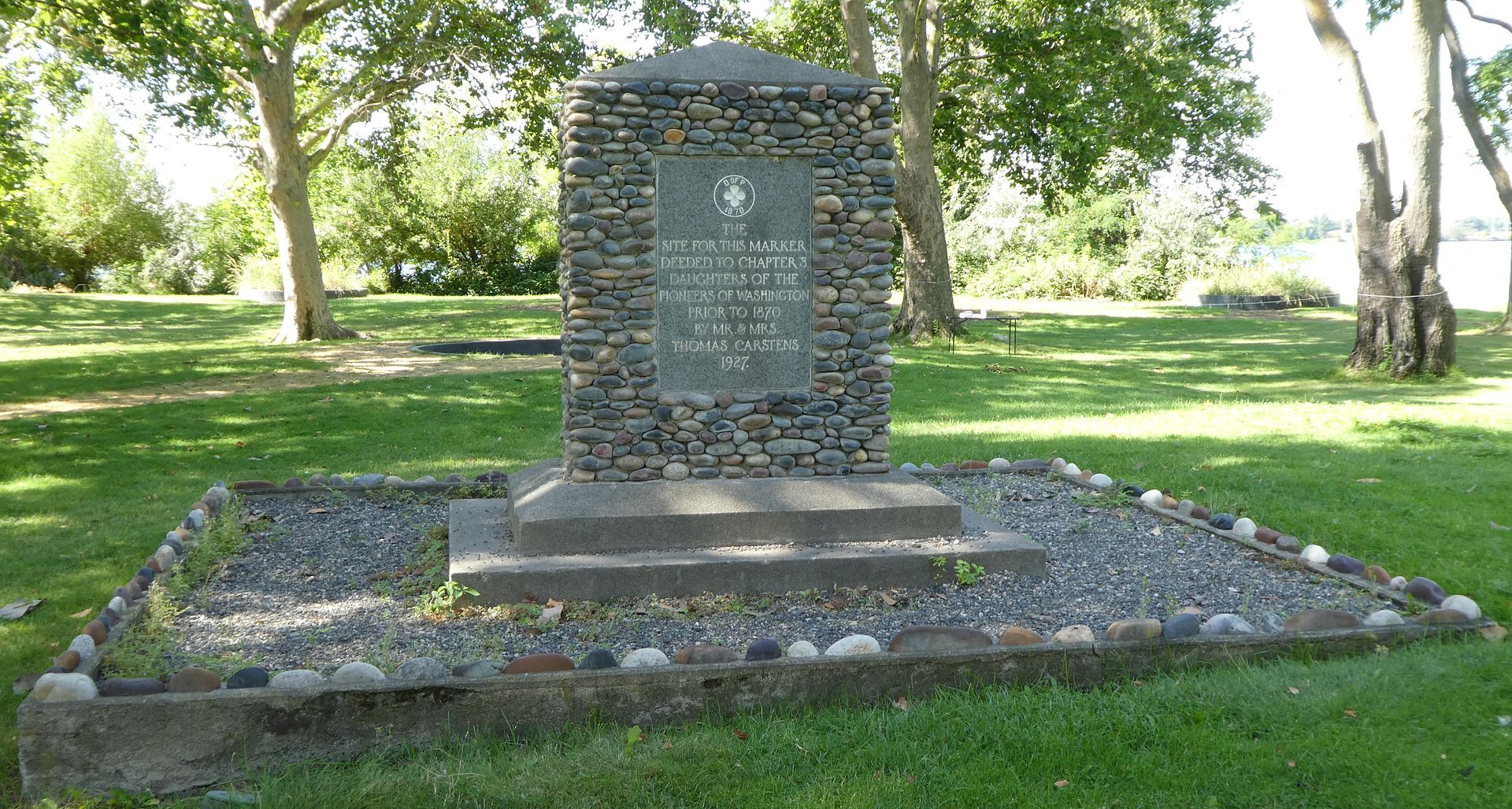
According to a sign in the park:
“Here, many cultures have traditionally come together, Today, this park continues to be a place of gathering, celebration and exploration.”
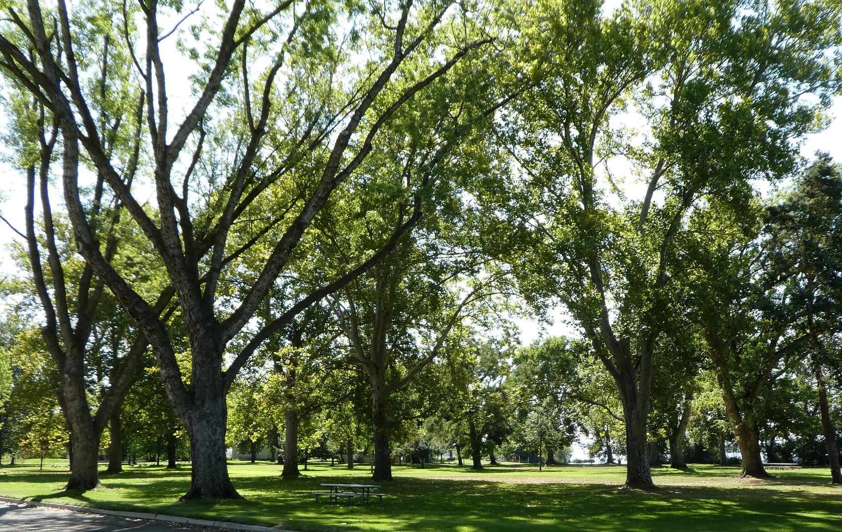
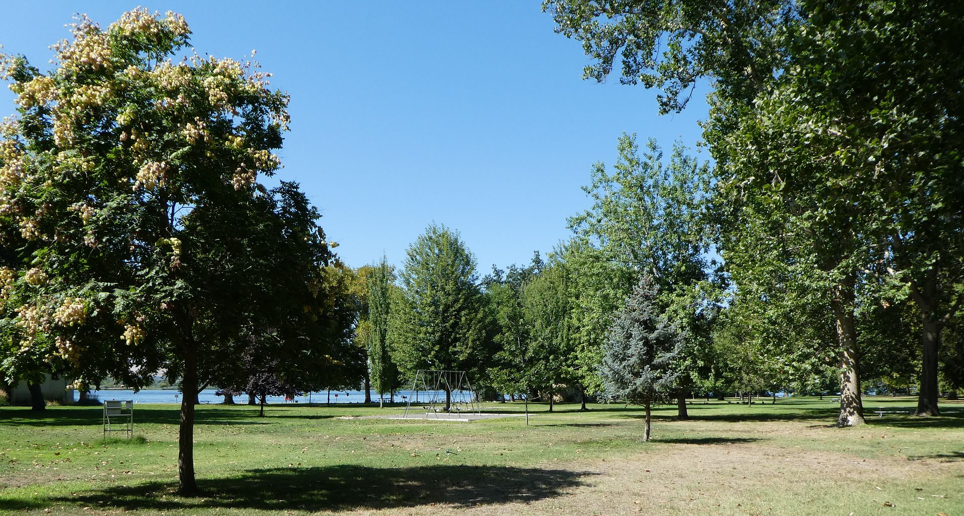
According to one of the displays:
“For thousands of years, the confluence looked very different from what you see today. Sagebrush, bunch grass and prickly pear cactus covered the land.
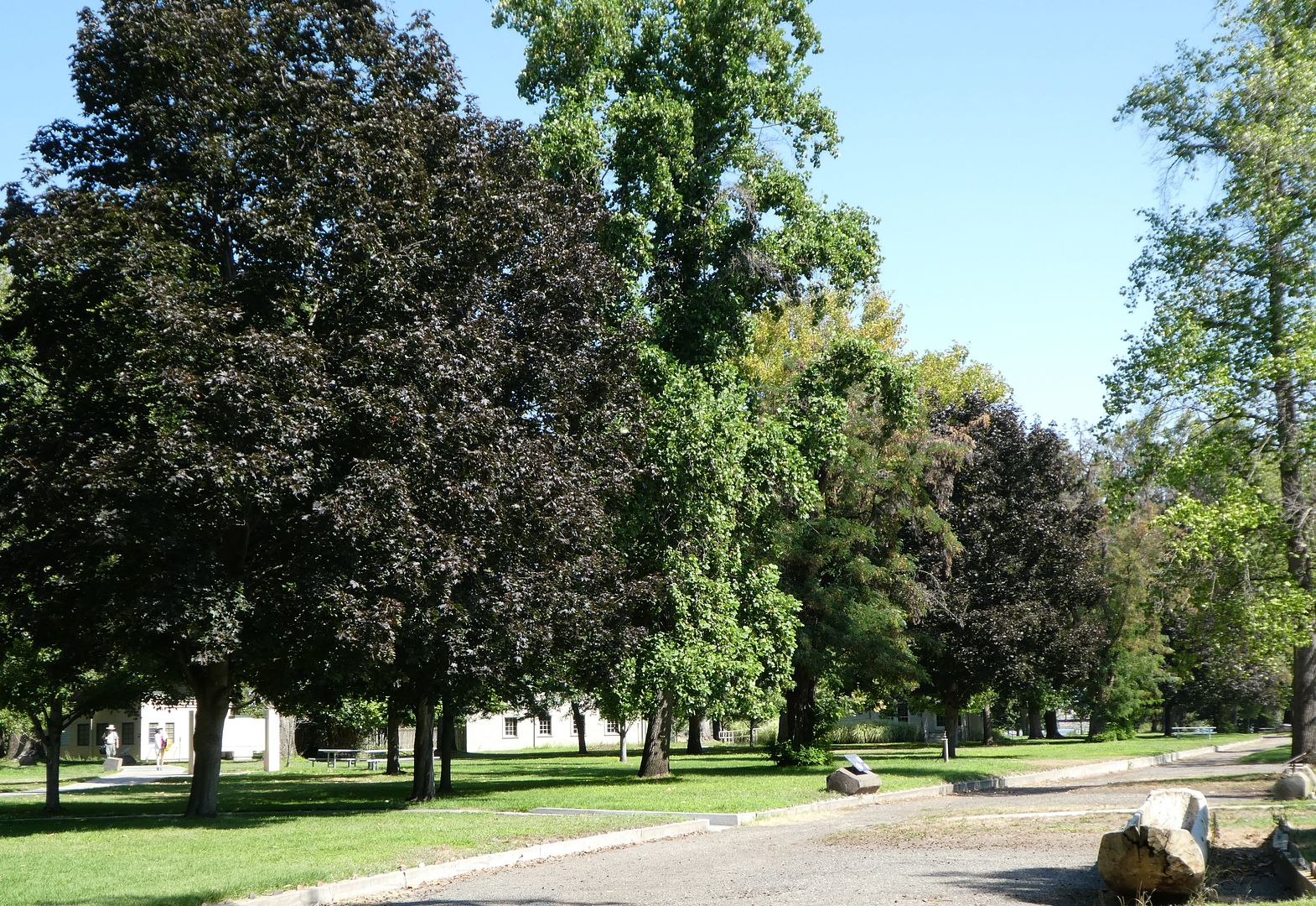
As newcomers arrived, they reshaped this place. In the last hundred years, green grass and shade trees replaced the shrub-steppe vegetation.”
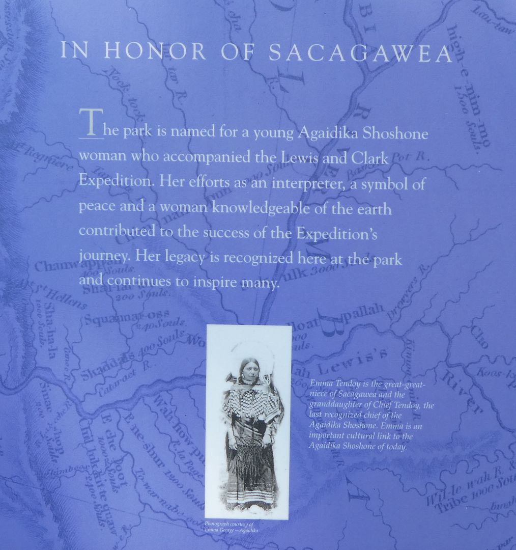
With regard to Sacajawea, one of the interpretive displays states:
“Sacagawea accompanied the Expedition as an interpreter. She also used her knowledge of plants to gather roots, berries, and leaves for food. In her homelands (today’s western Montana and eastern Idaho) she recognized landmarks and acted as a guide.”
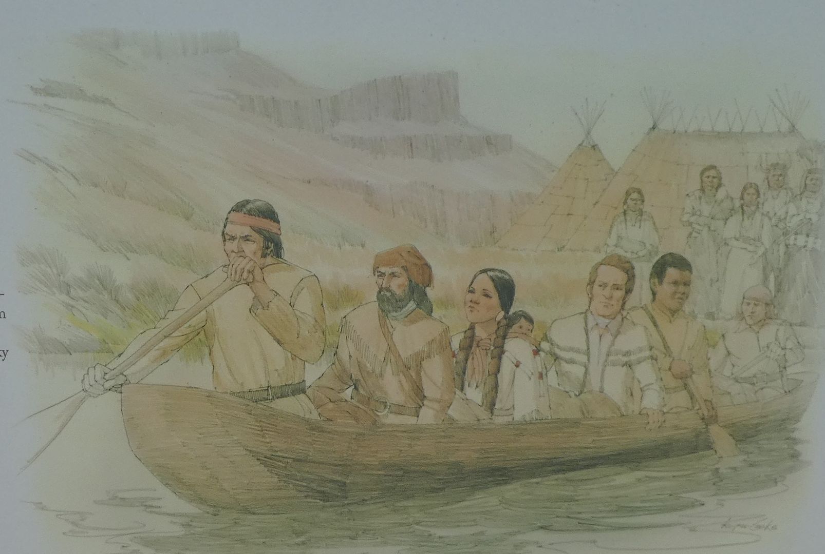 In this illustration Sacajawea is shown in a dugout canoe with her child. The tule mat covered longhouses used by the Indian nations along the Columbia river are seen in the background.
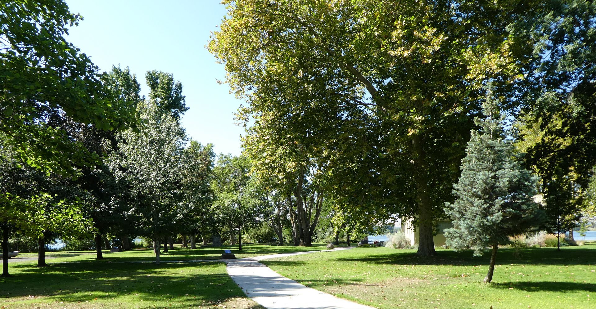
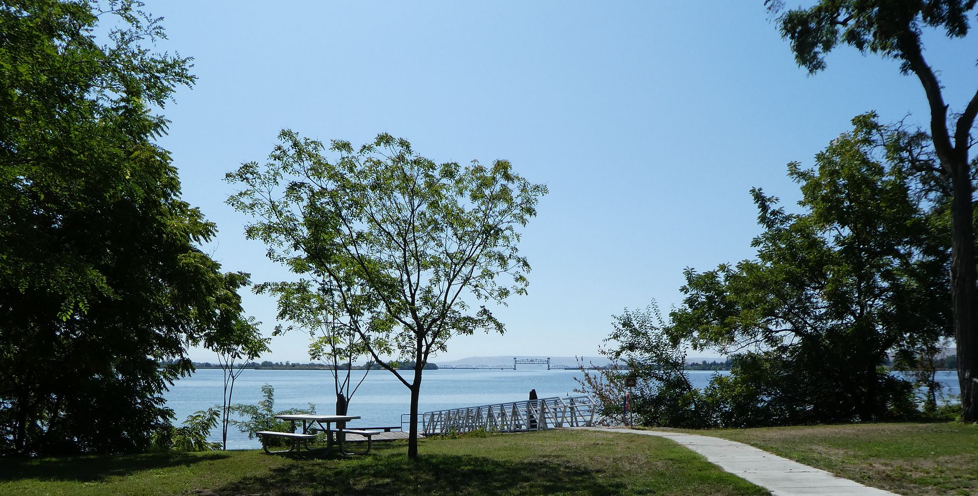
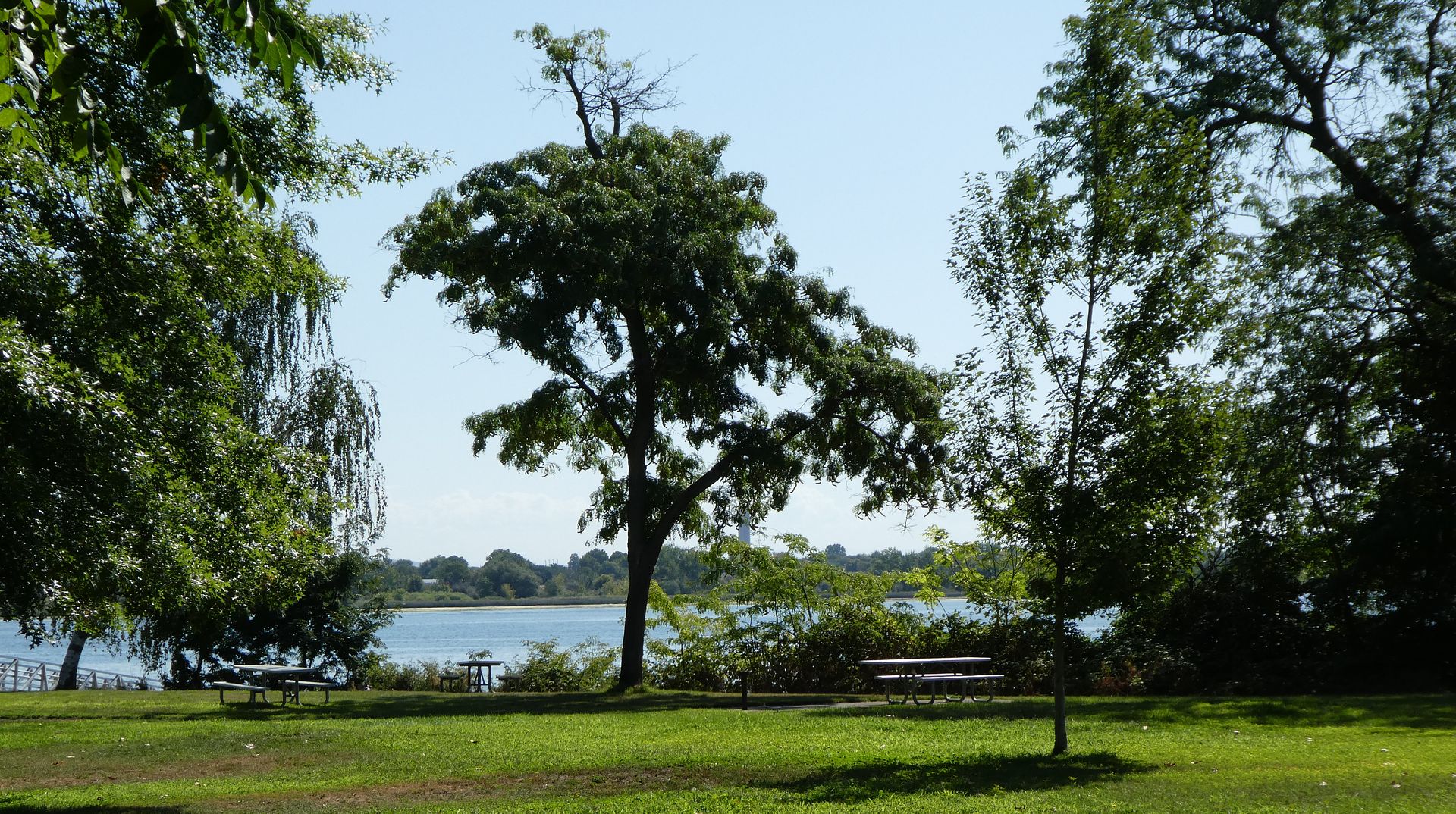
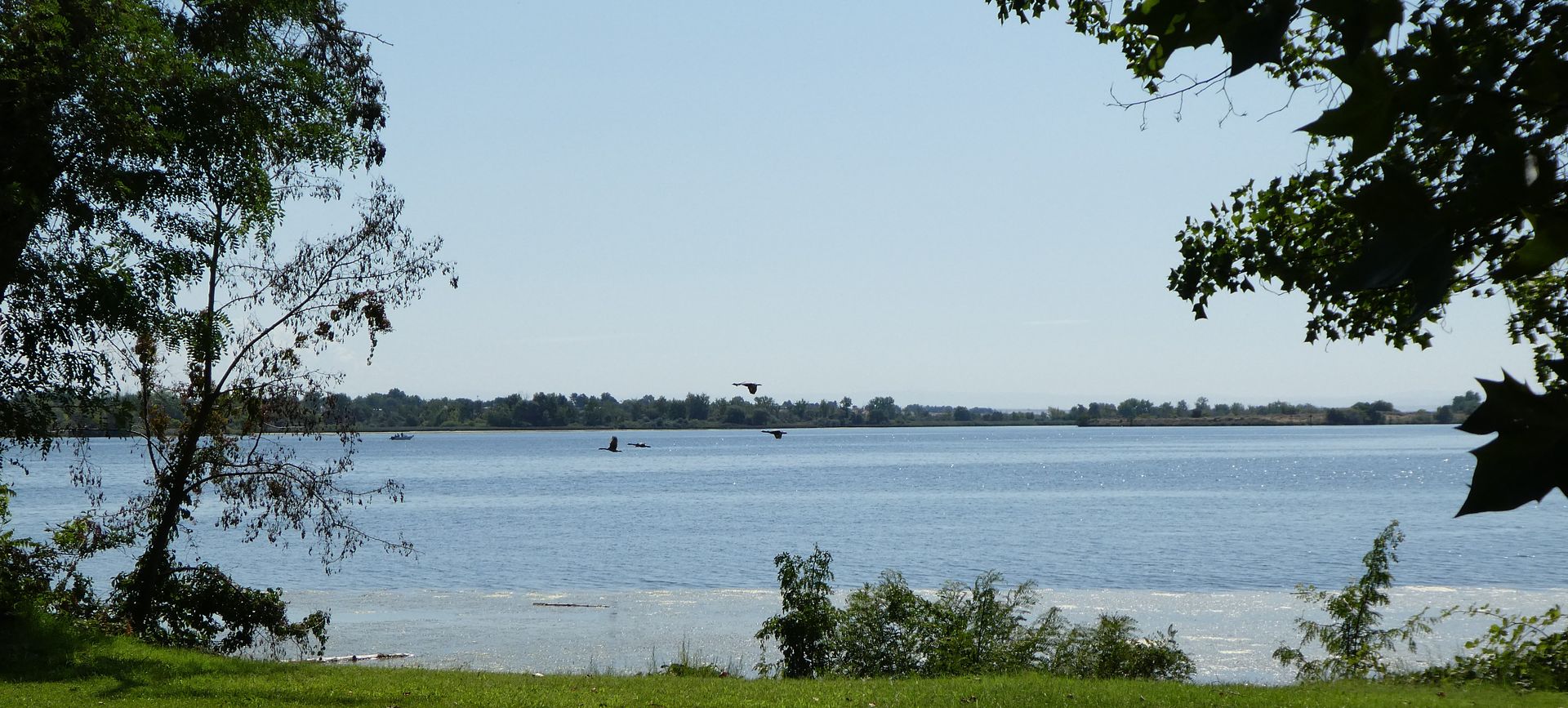
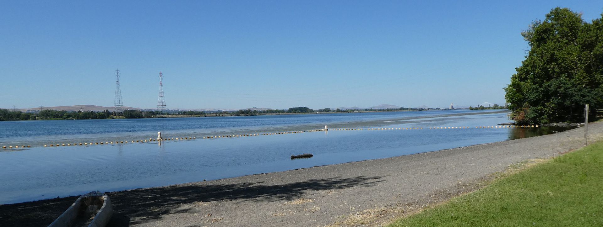
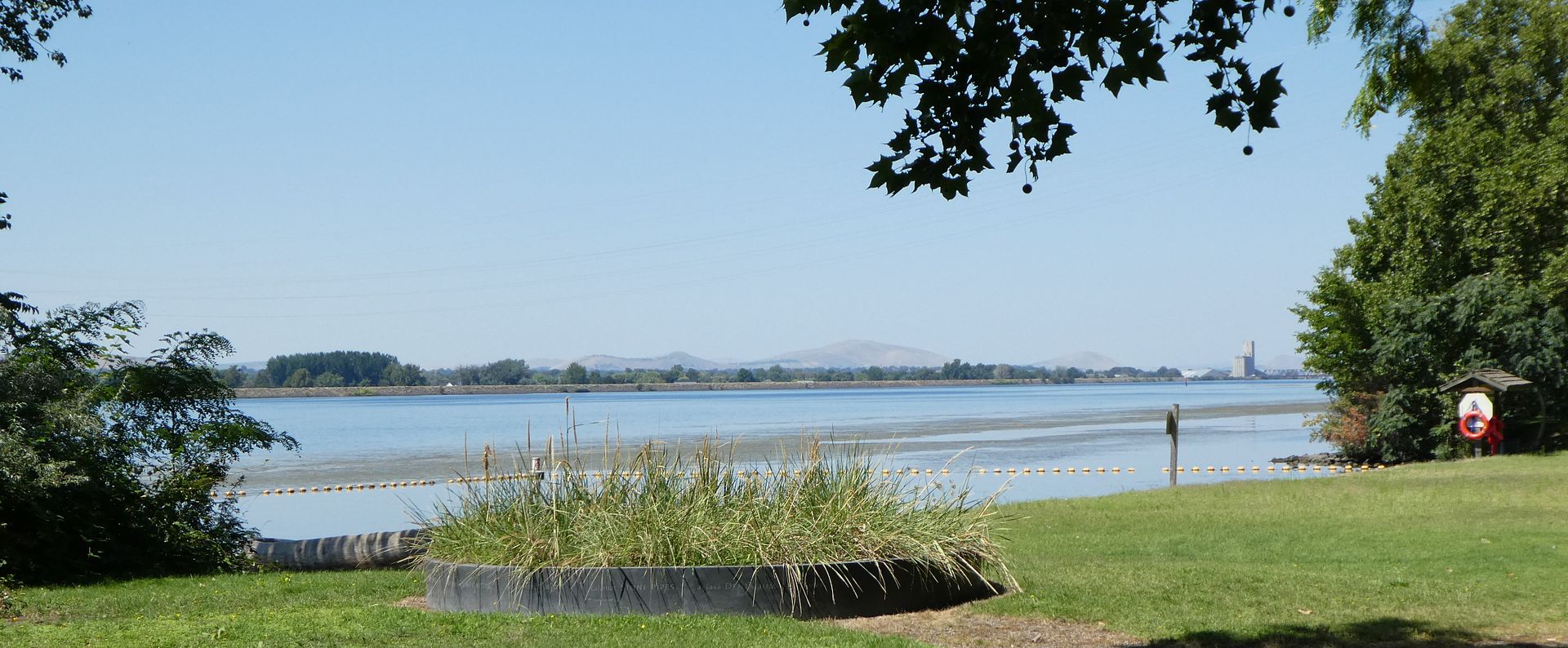
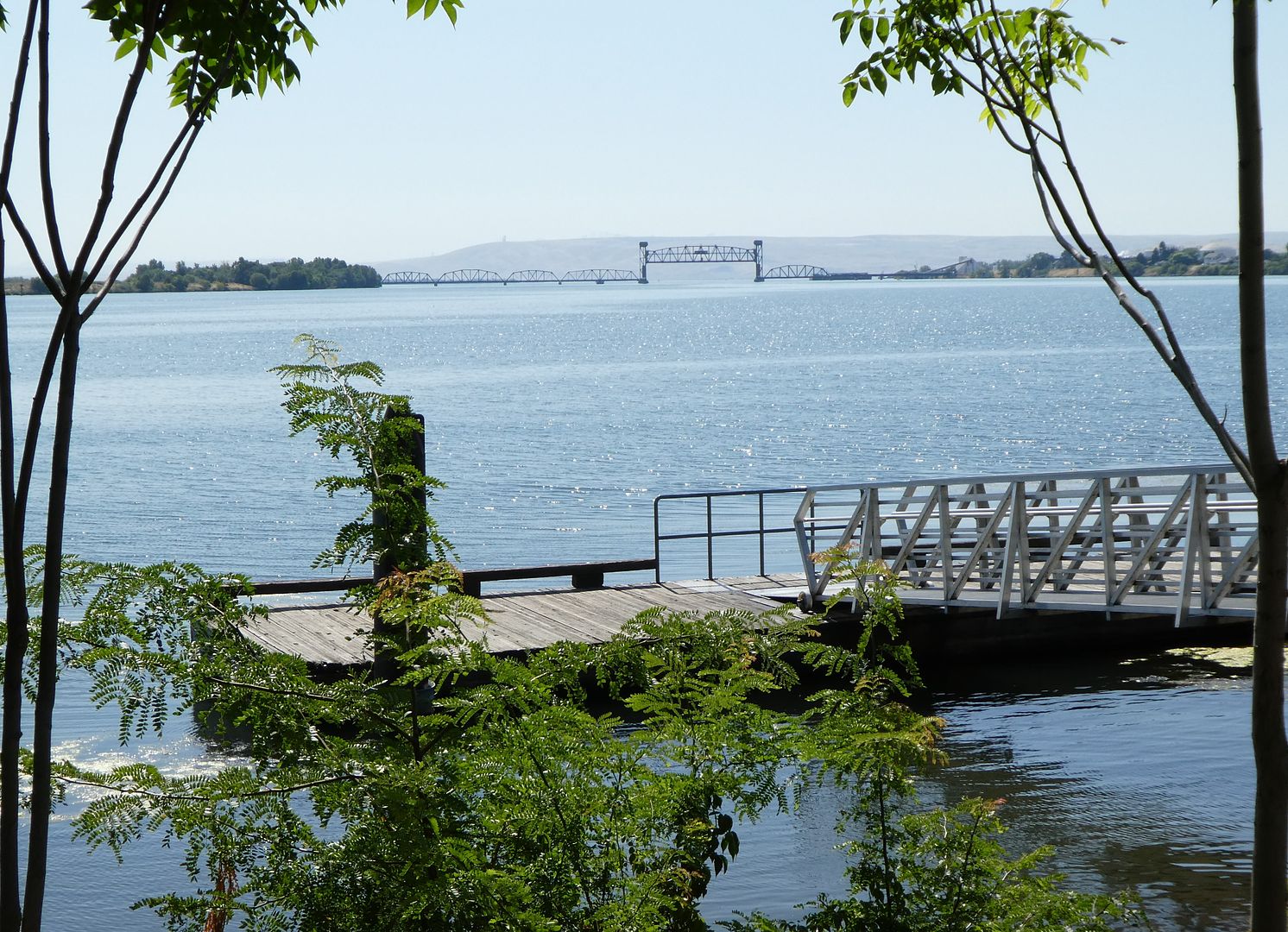 Looking out at the confluence of the Snake and Columbia Rivers.
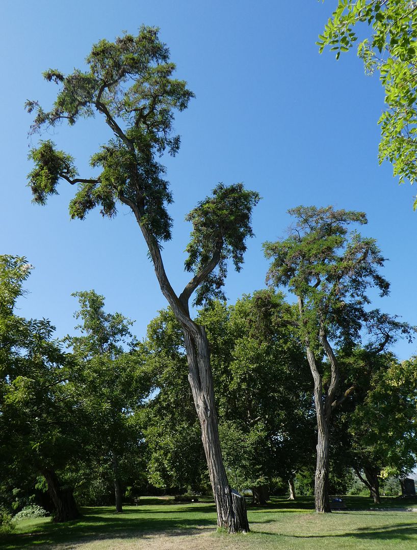
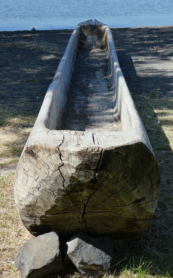
Dugout Canoes
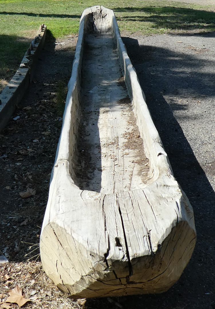
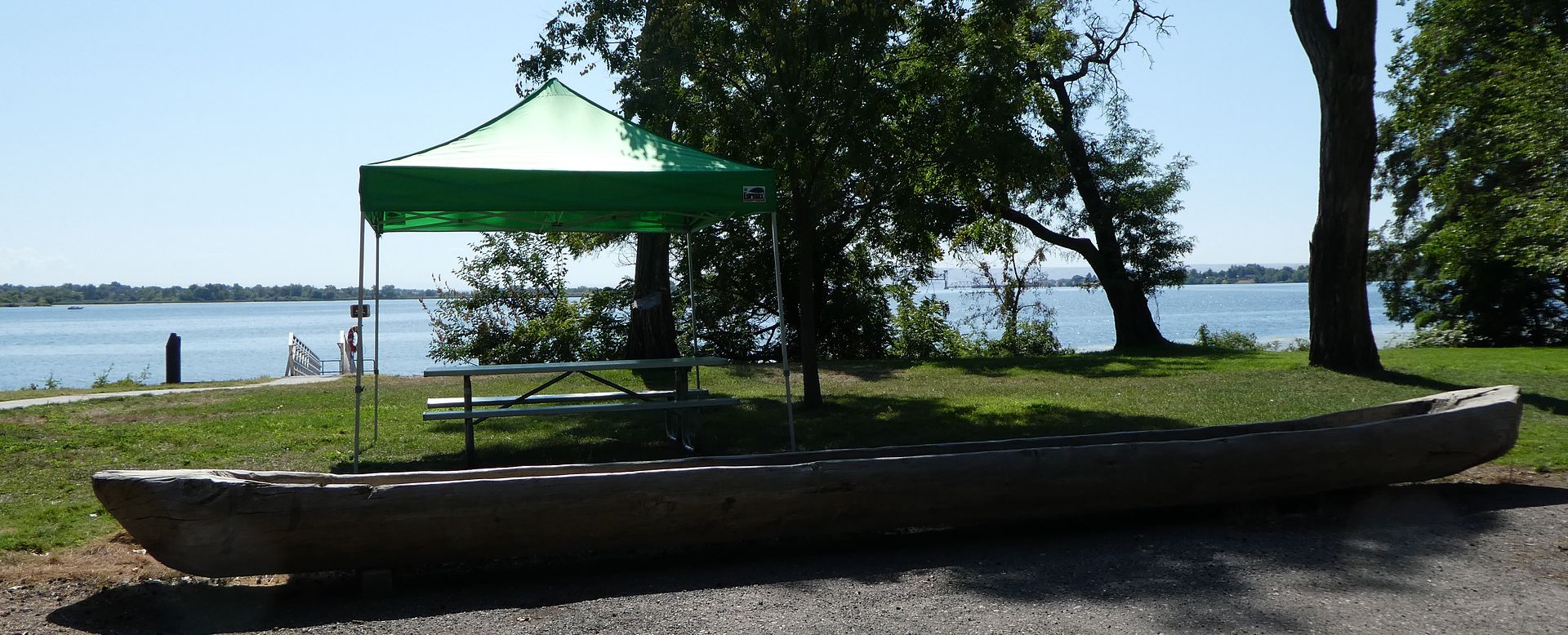
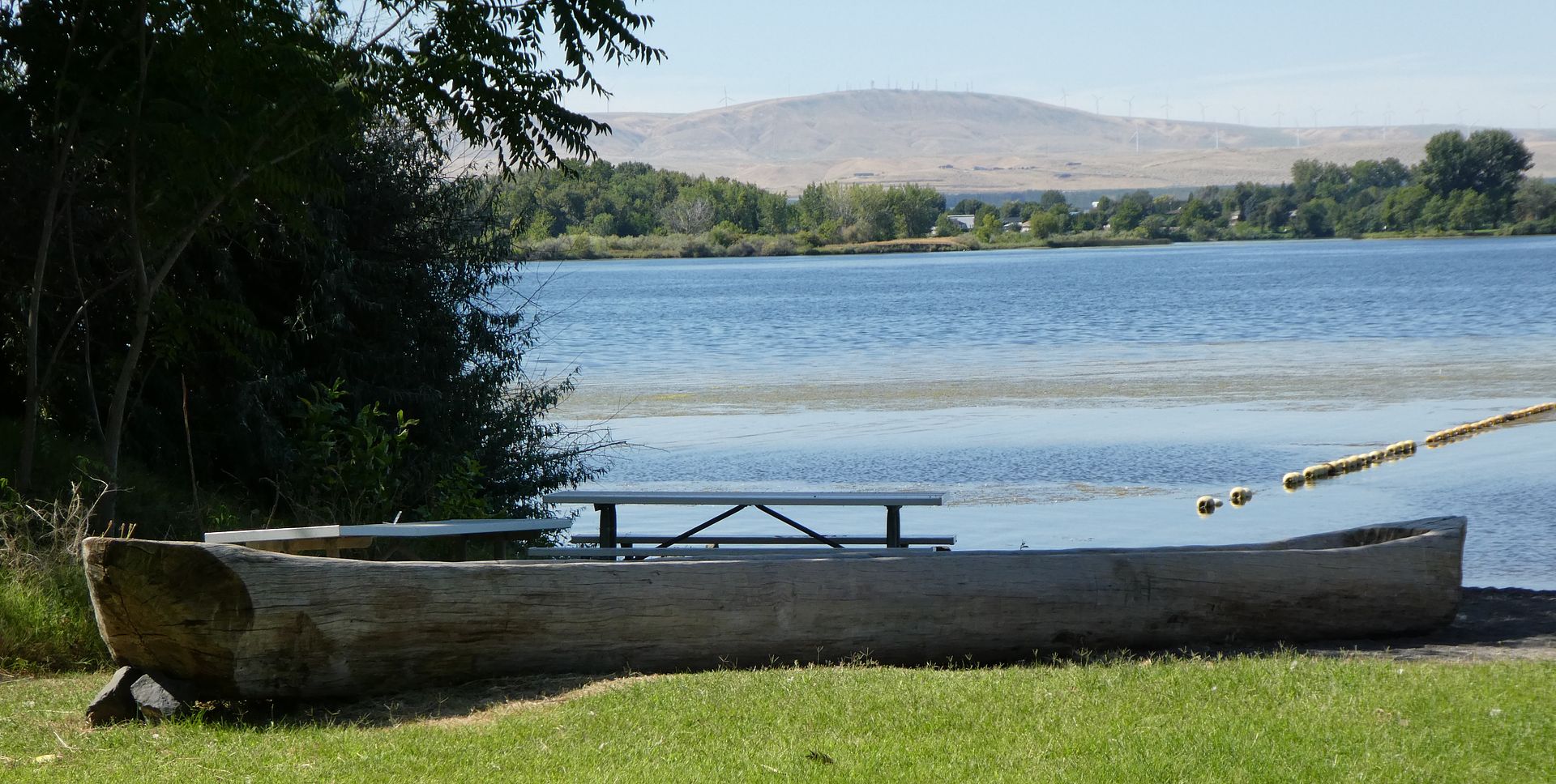
There are two dugout canoes in the park.
Vista House
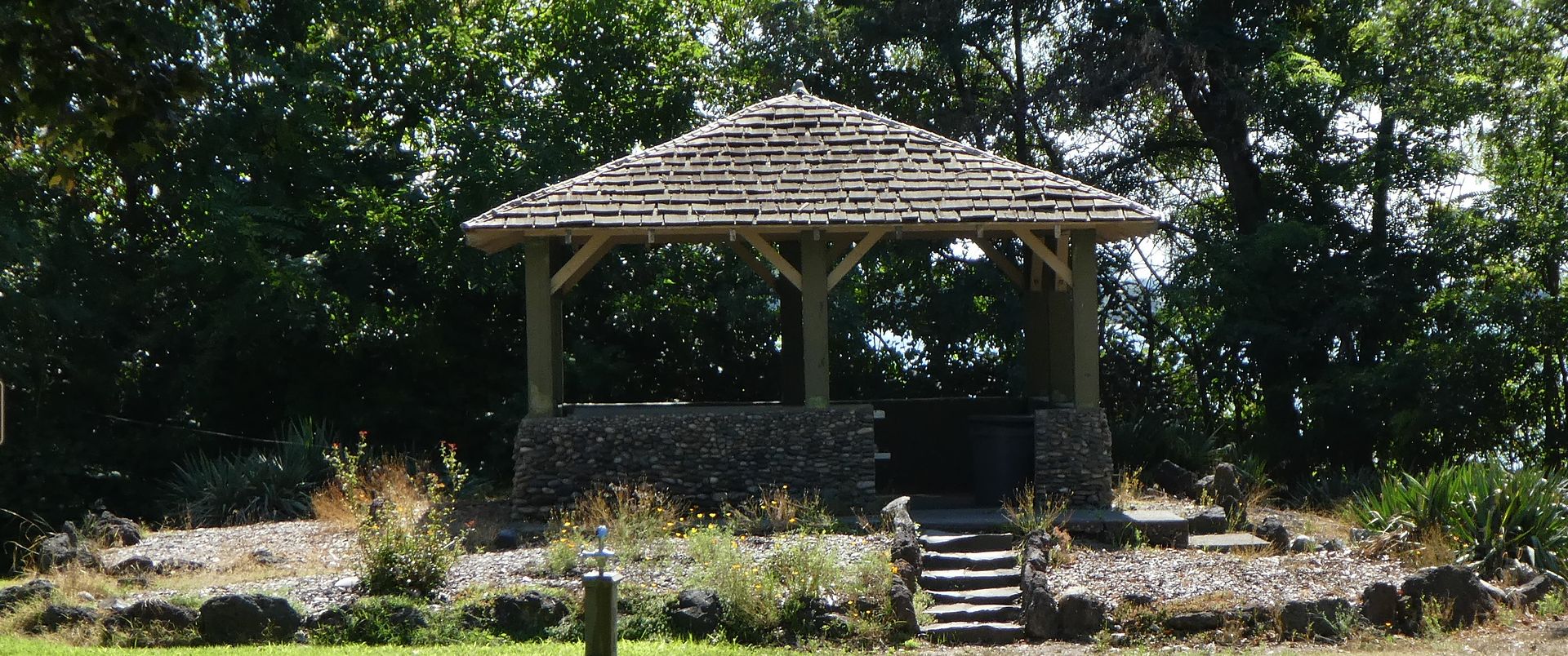
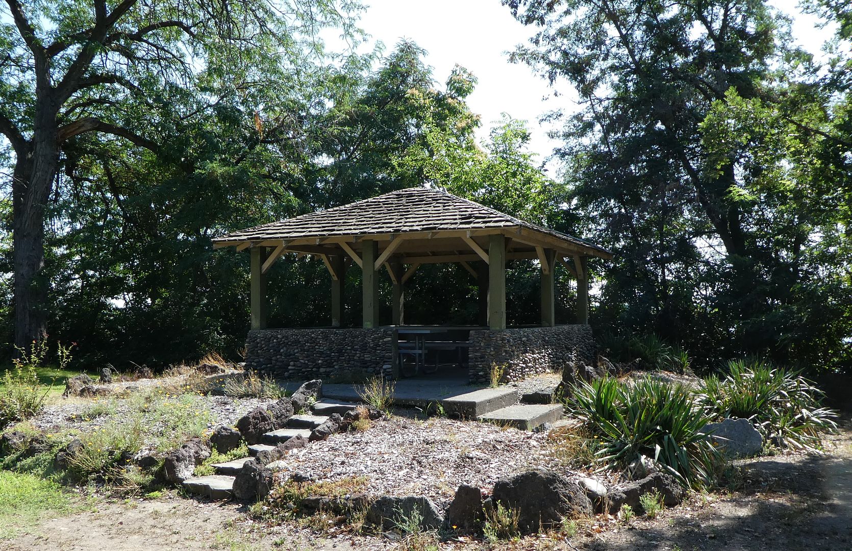
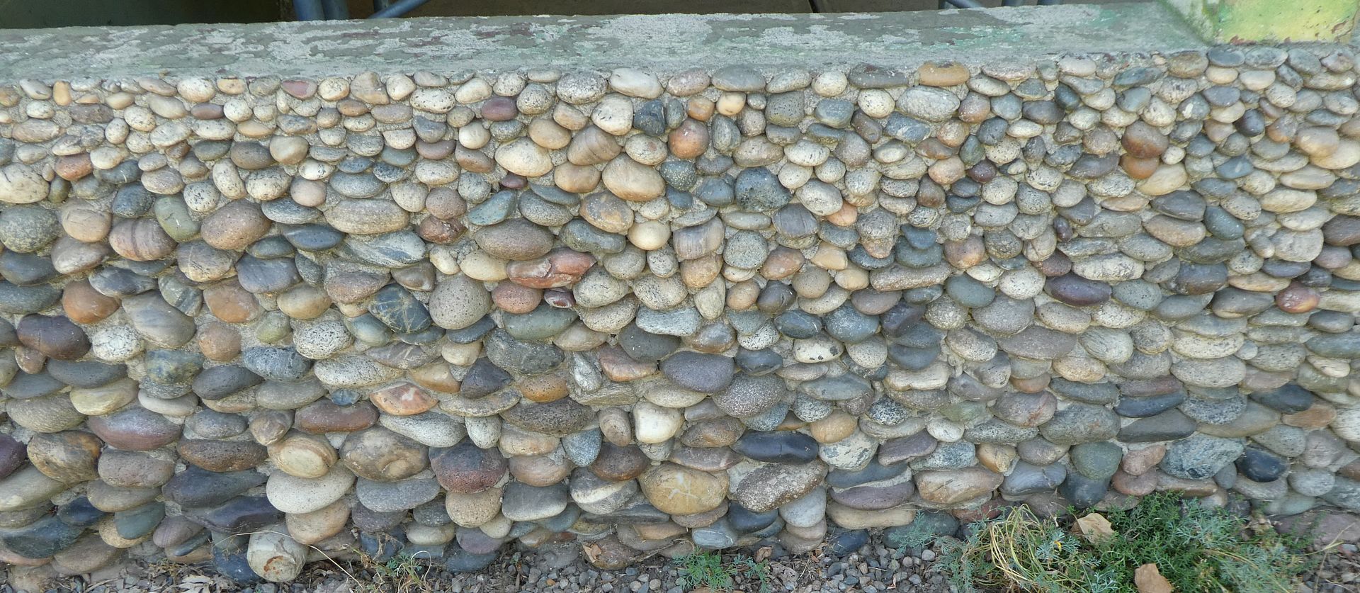
Shown above is the rock work in the wall of the Vista House.
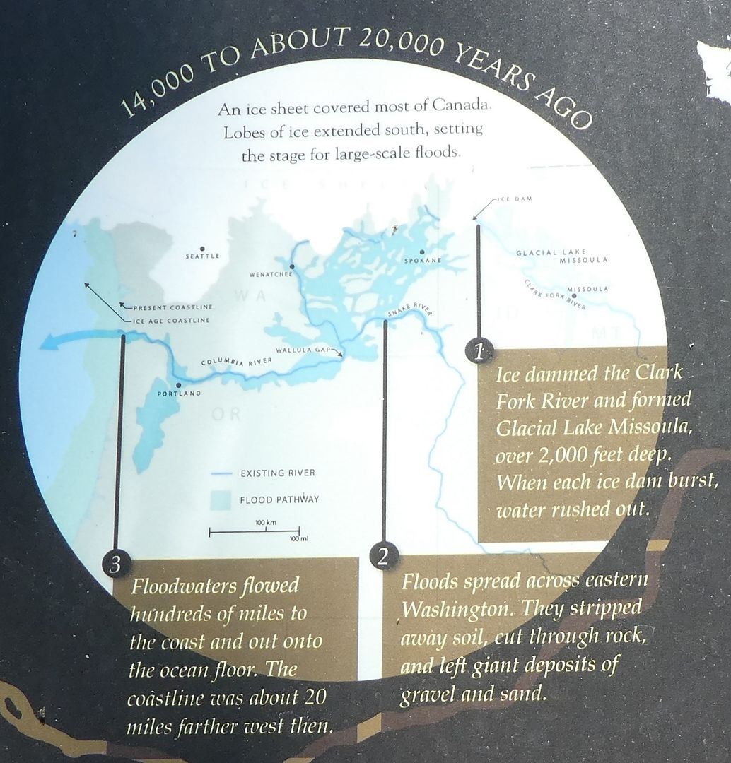
Ice Age Floods
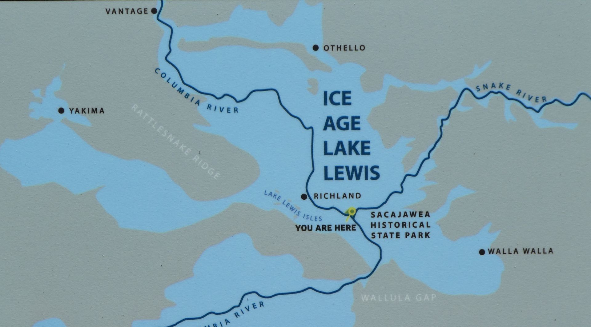
The displays in the park explain the Ice Age floods which reshaped the landscape. The ice dams upriver periodically failed and released huge amounts of water and ice. According to the display:
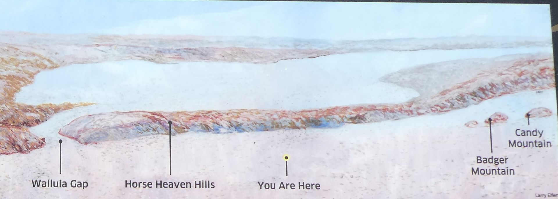
“Floodwaters filled the Columbia and Snake river valleys and spread across the land in between. When they got here, the waters were blocked by the Wallula Gap and the Horse Heaven Hills.
The water roared in twice as fast as it could flow out, forming temporarily Ice Age Lake Lewis where you’re standing right now. Then it slowly drained through the gap, flowing on toward the ocean.”
More Public Lands photo diaries
Public Lands: The Beach at South Beach State Park (Photo Diary)
Public Lands: Devils Lake State Park (Photo Diary)
Public Lands: Cape Arago State Park (Photo Diary)
Public Lands: Sunset Bay State Park (Photo Diary)
Silver Falls State Park: The South Falls Overlook (Photo Diary)
Public Lands: Some Glacier National Park Photos (Photo Diary)
Public Lands: Indian Languages Along the Trail (Photo Diary)
Cape Disappointment State Park: Driftwood (Photo Diary)


